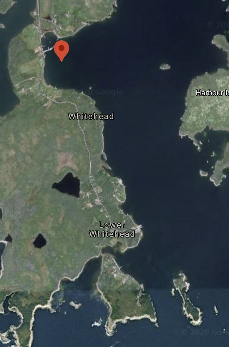
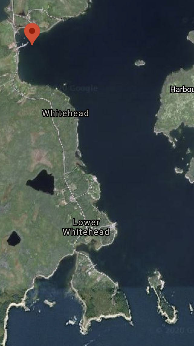
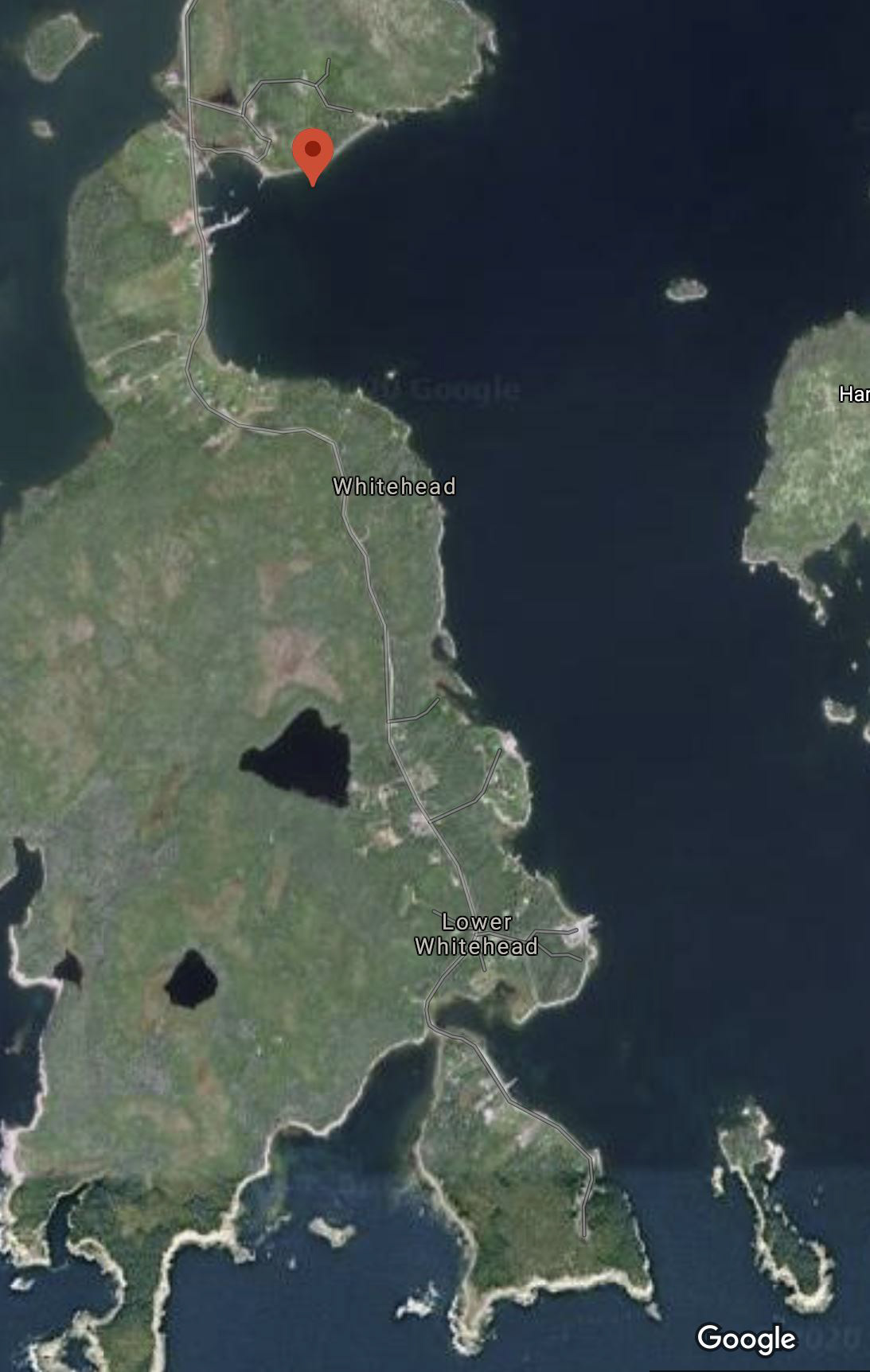
Experiment in High Flight 360 Panoramas - Whitehead, Nova Scotia
My fear of flying was challenged on this project as not only did I need to climb to maximum altitude but also go a lot farther over the ocean than previously experienced. I don't do a whole lot of drone photograph.
The project was to learn more about doing 360 or sphere panoramas letting the drone control the imaging by only placing the drone in a position and height, then snapping the 26 images automatically under drone control. My previous experience was imagining the resulting image and doing a panorama shot tasking 9 images under drone control. I had to imagine the shot before the shoot and point the drone accordingly. I don't find it as easy as when the camera is in your hand and you simply rotate your head with the camera.
Also, I'm still learning how to imagine the shot, even learning what types of images I enjoy.
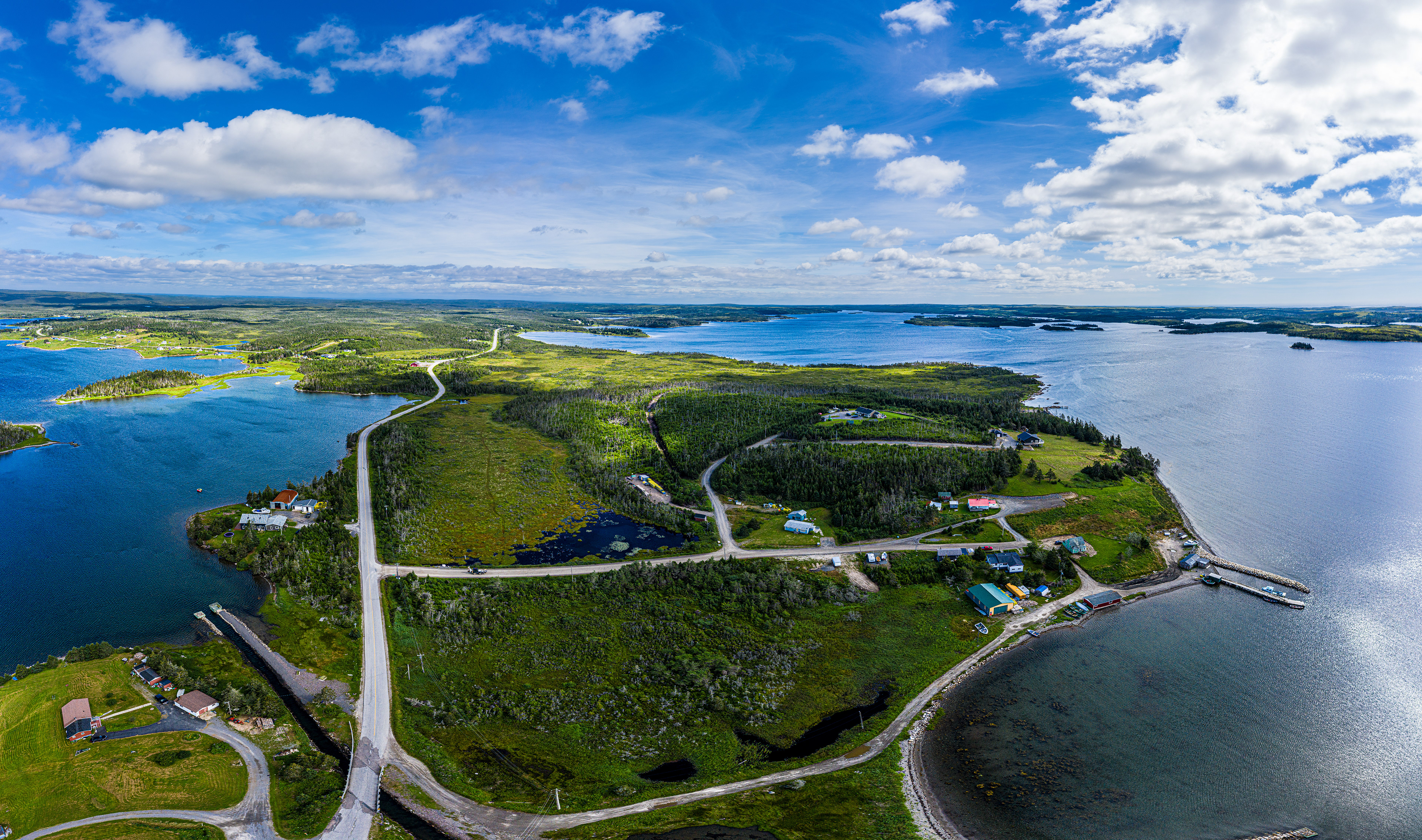
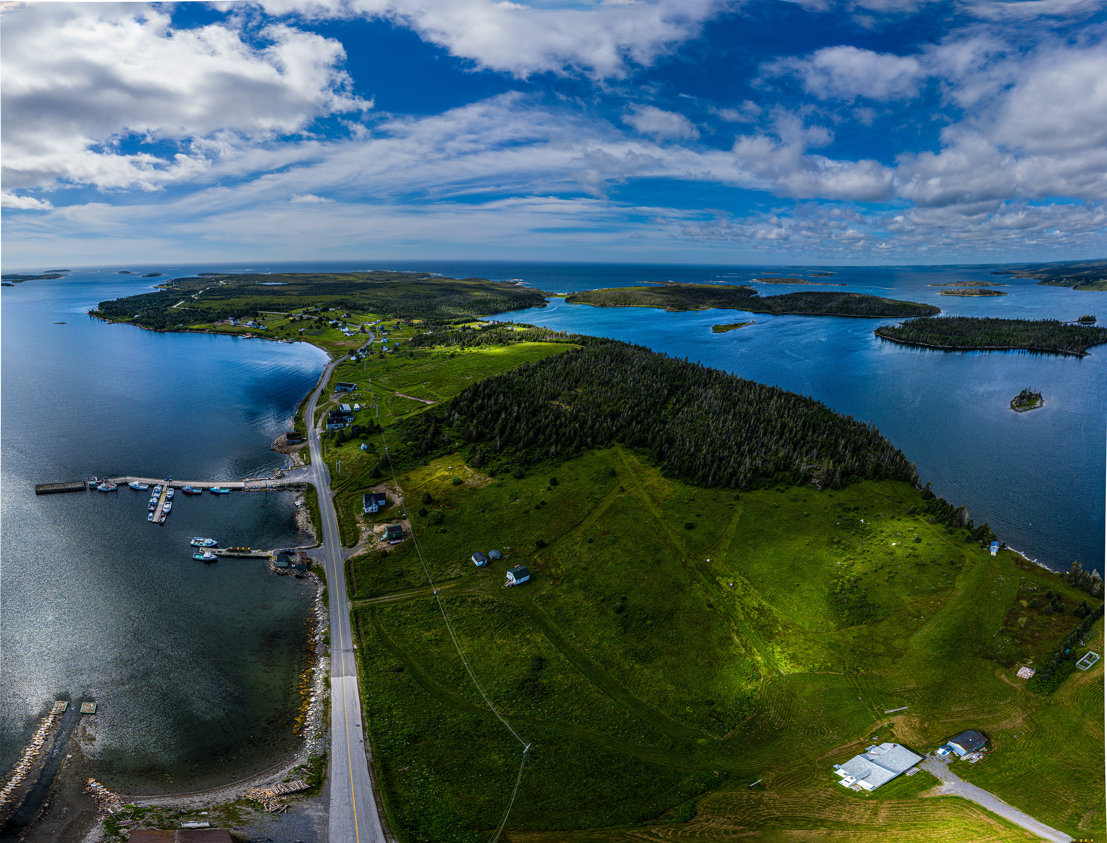
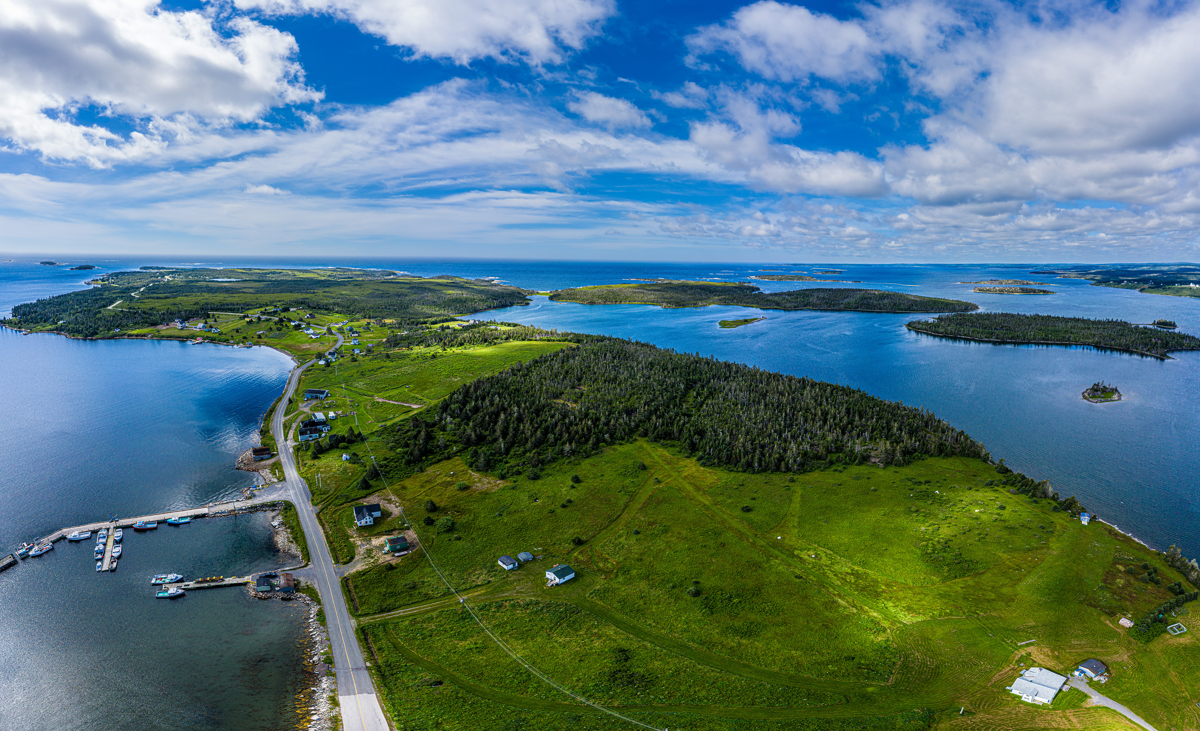
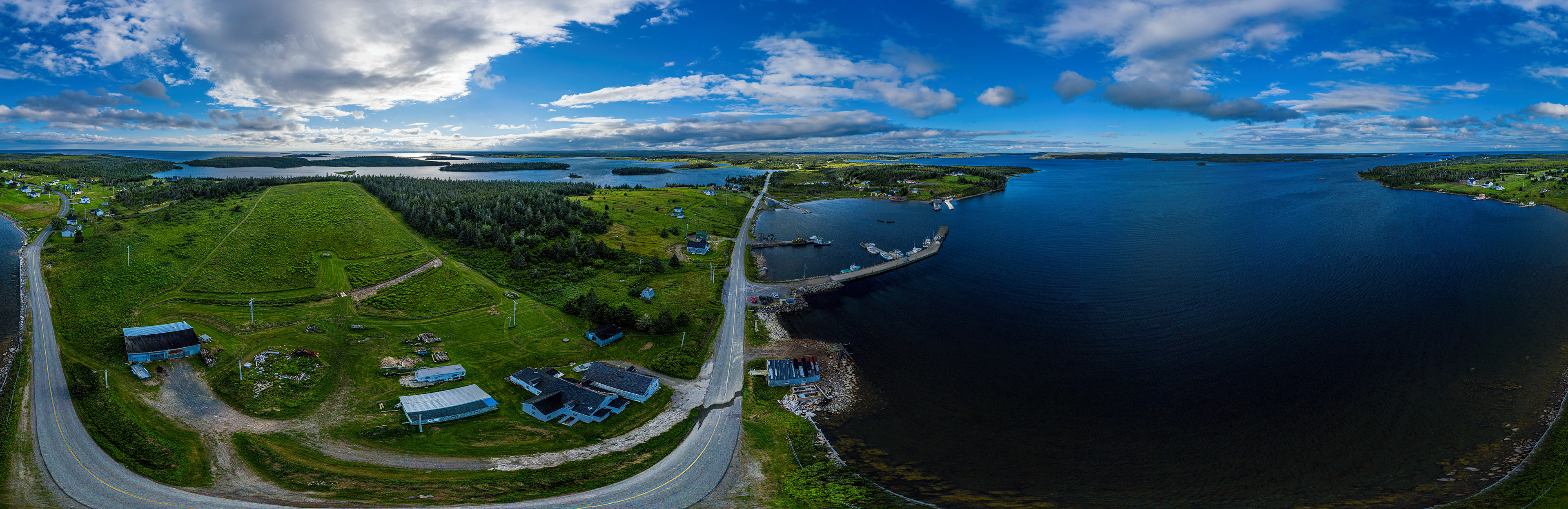
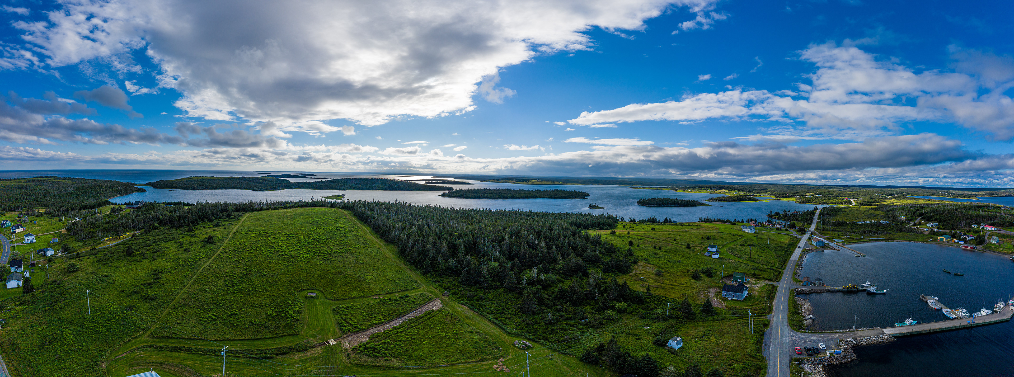
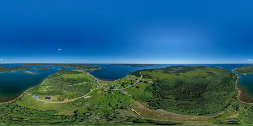
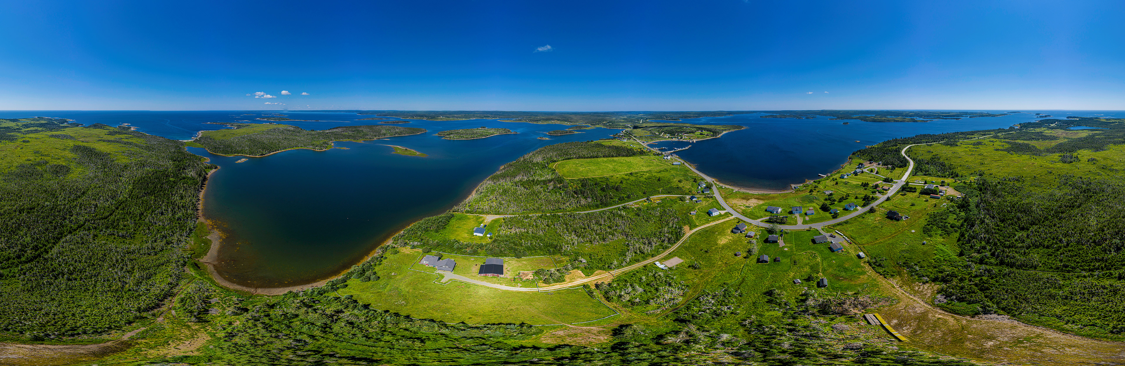
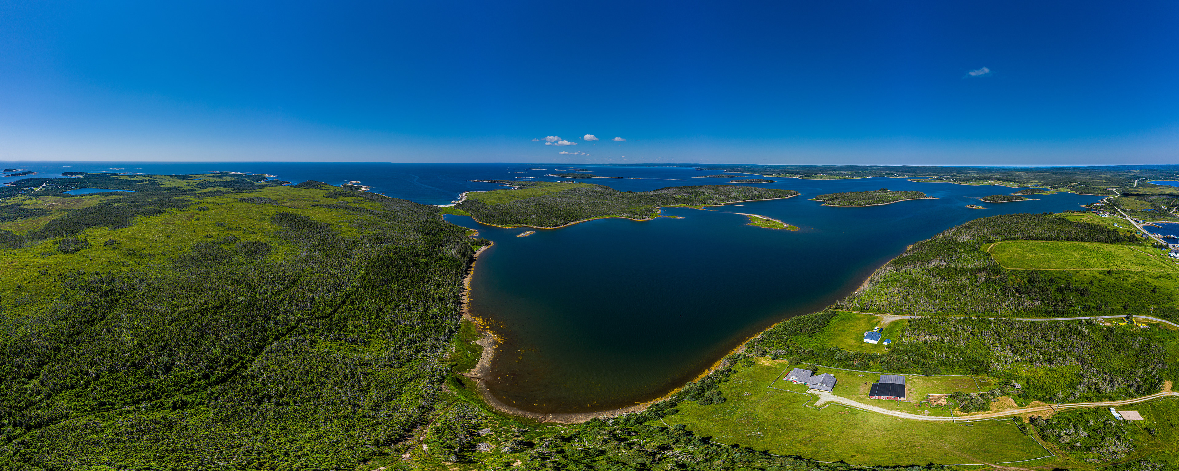
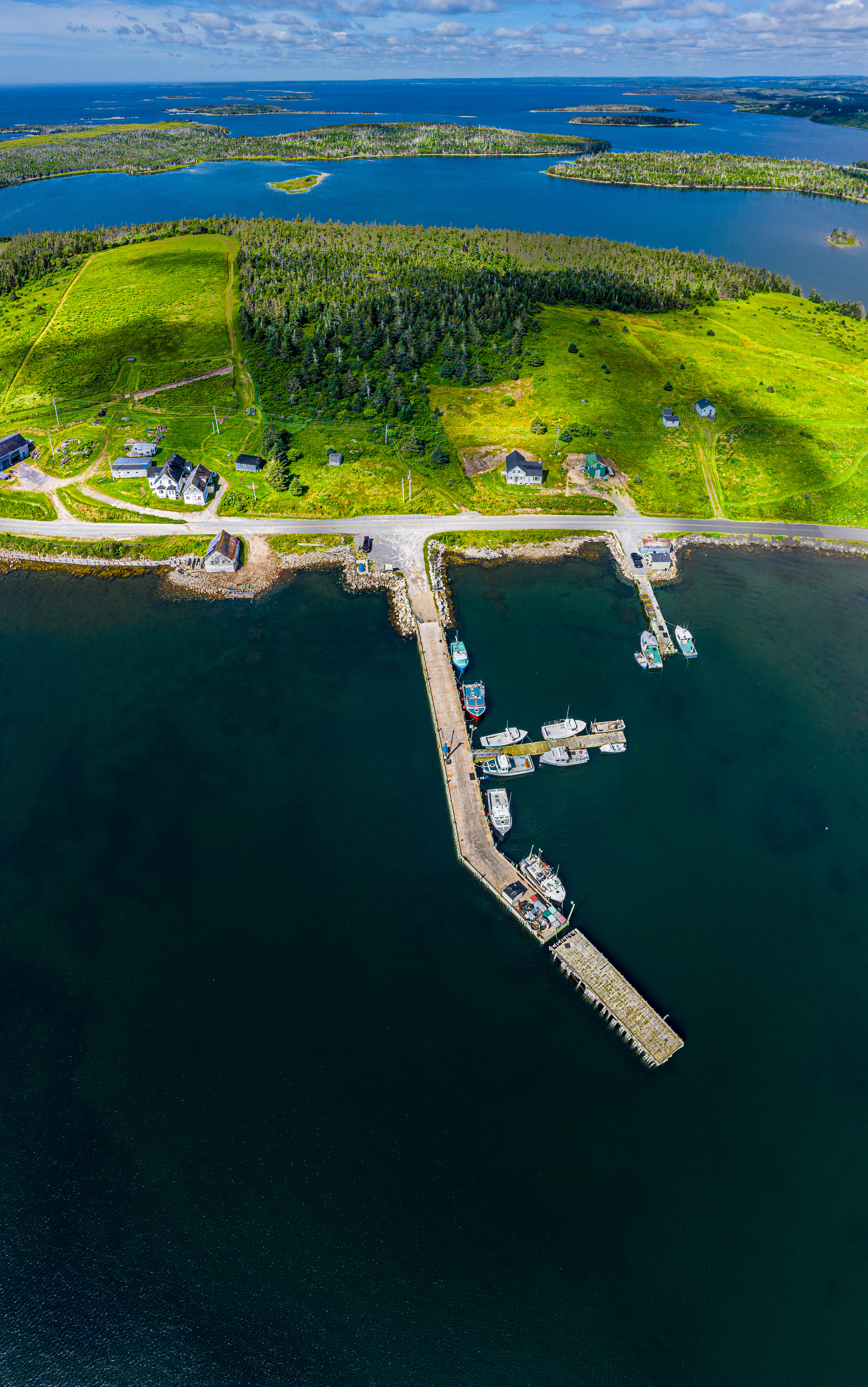
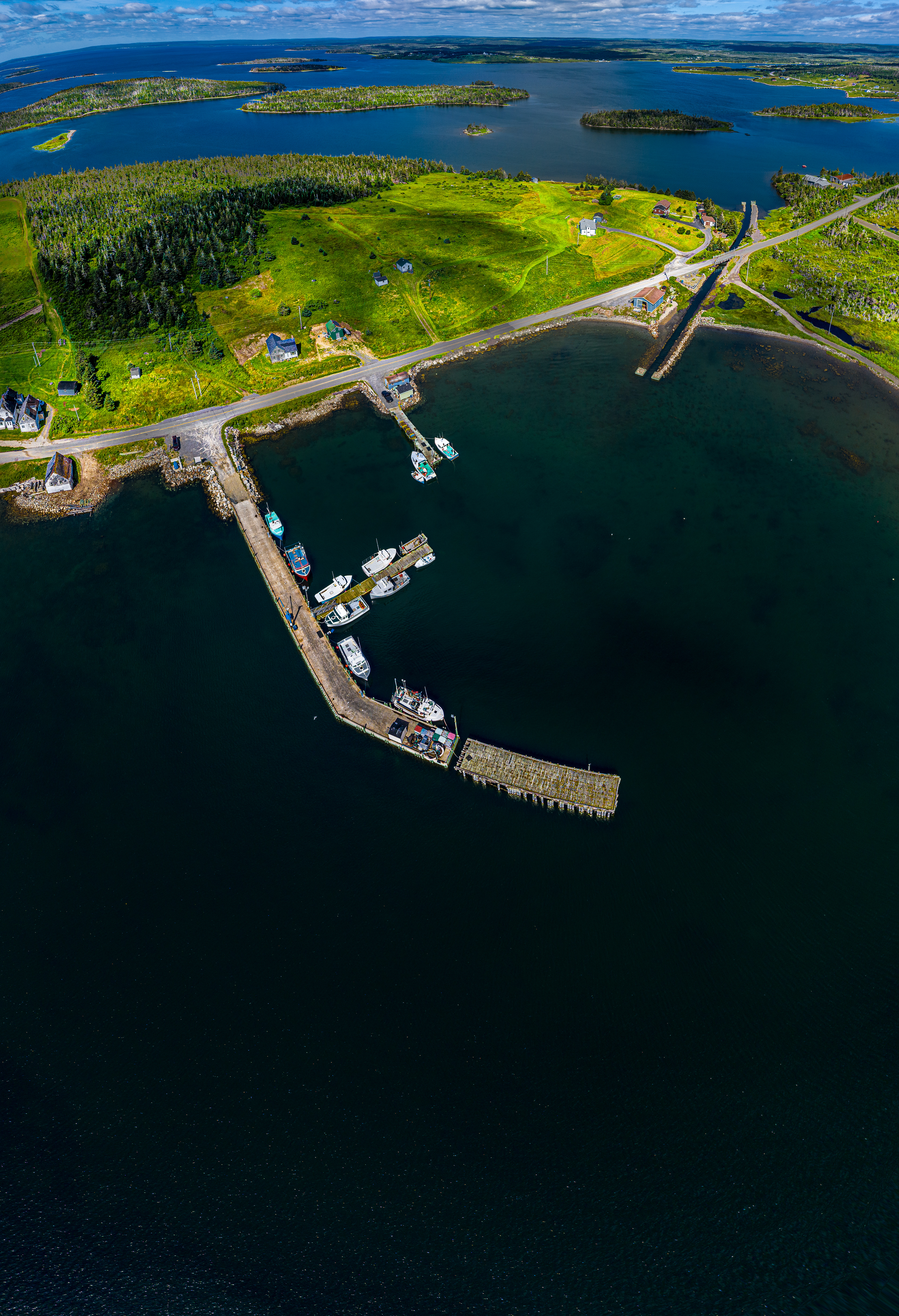
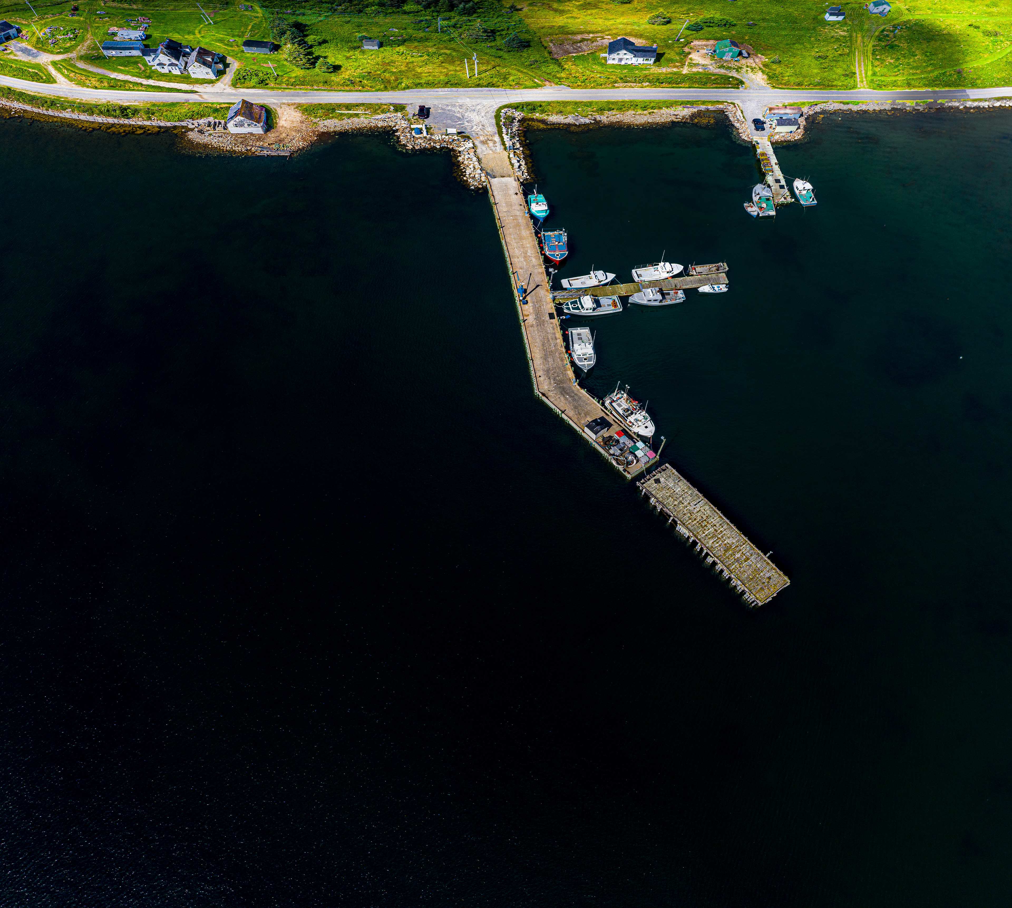
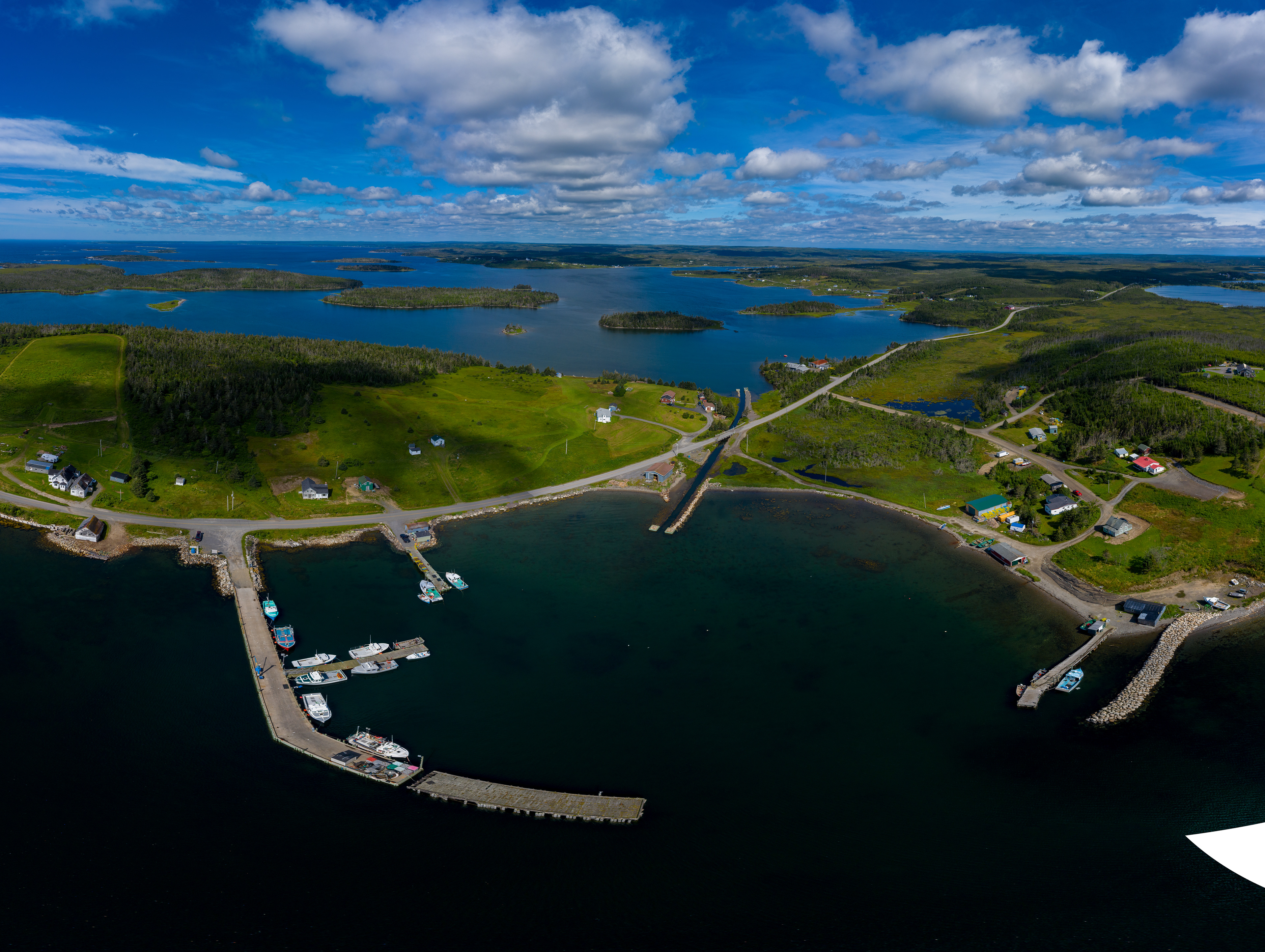
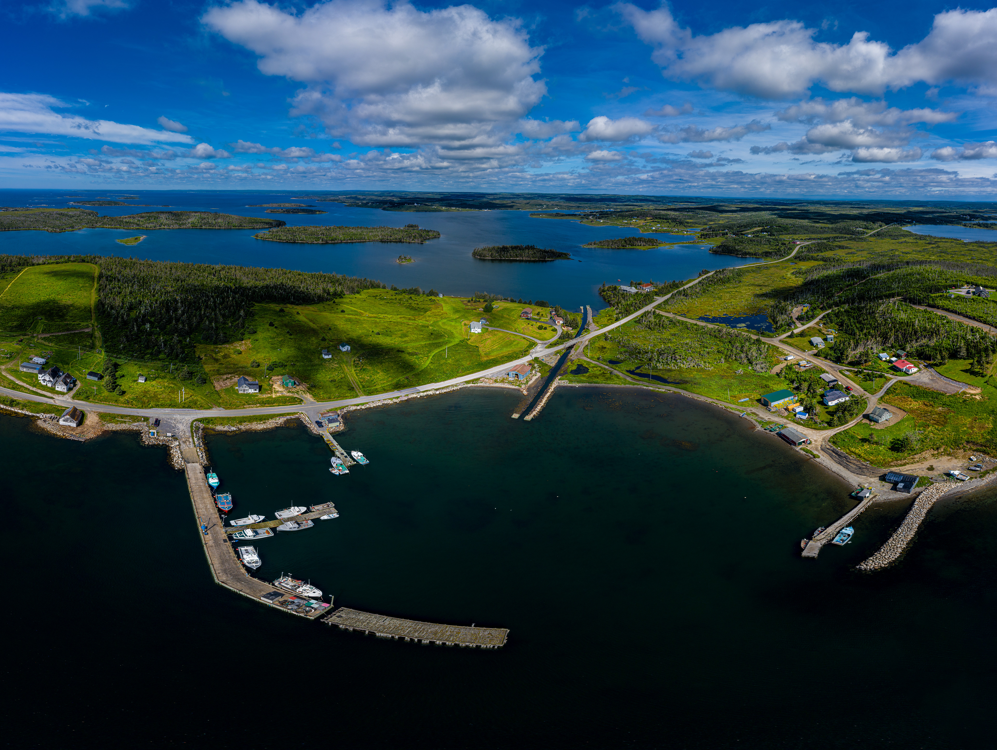
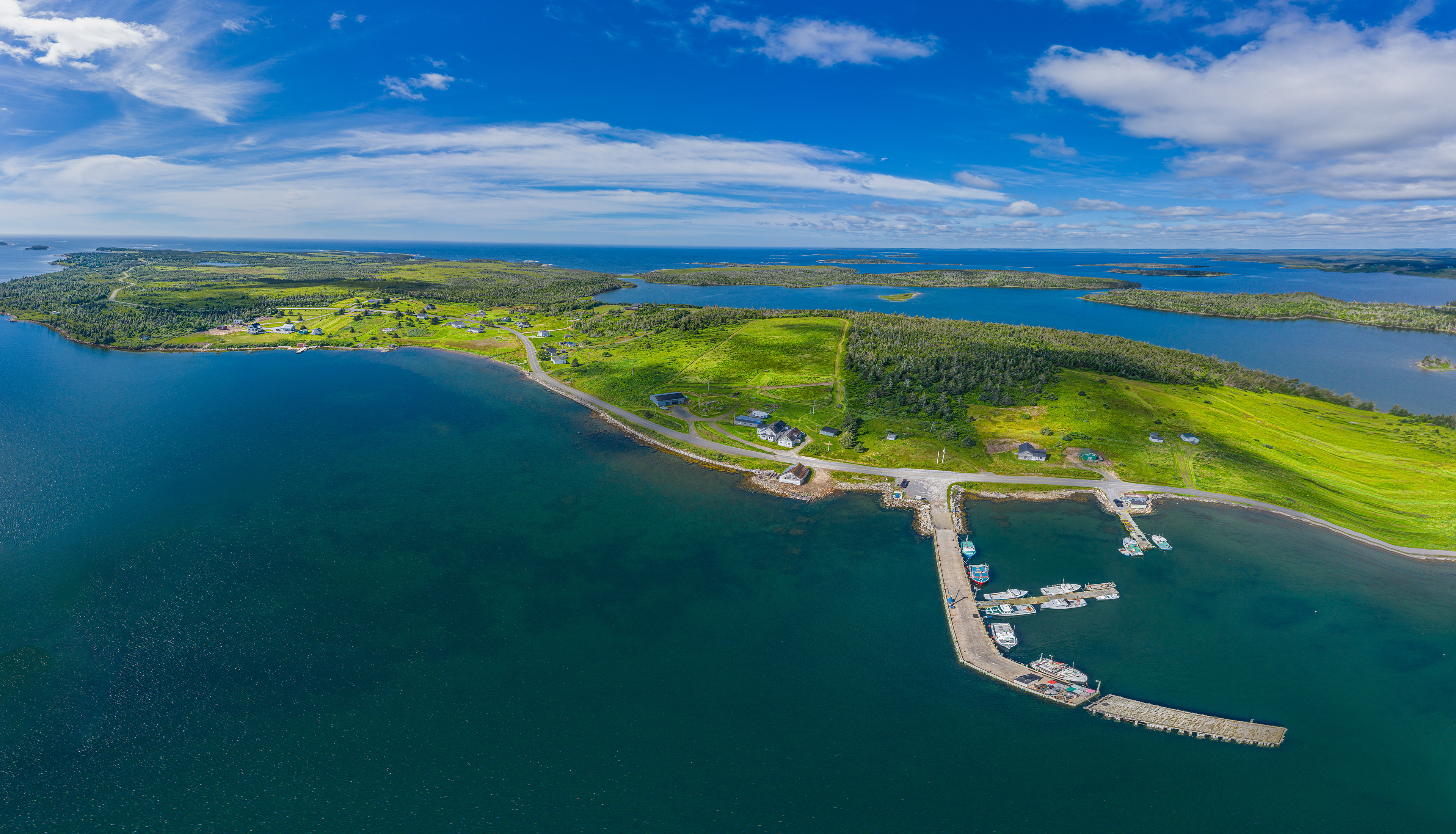
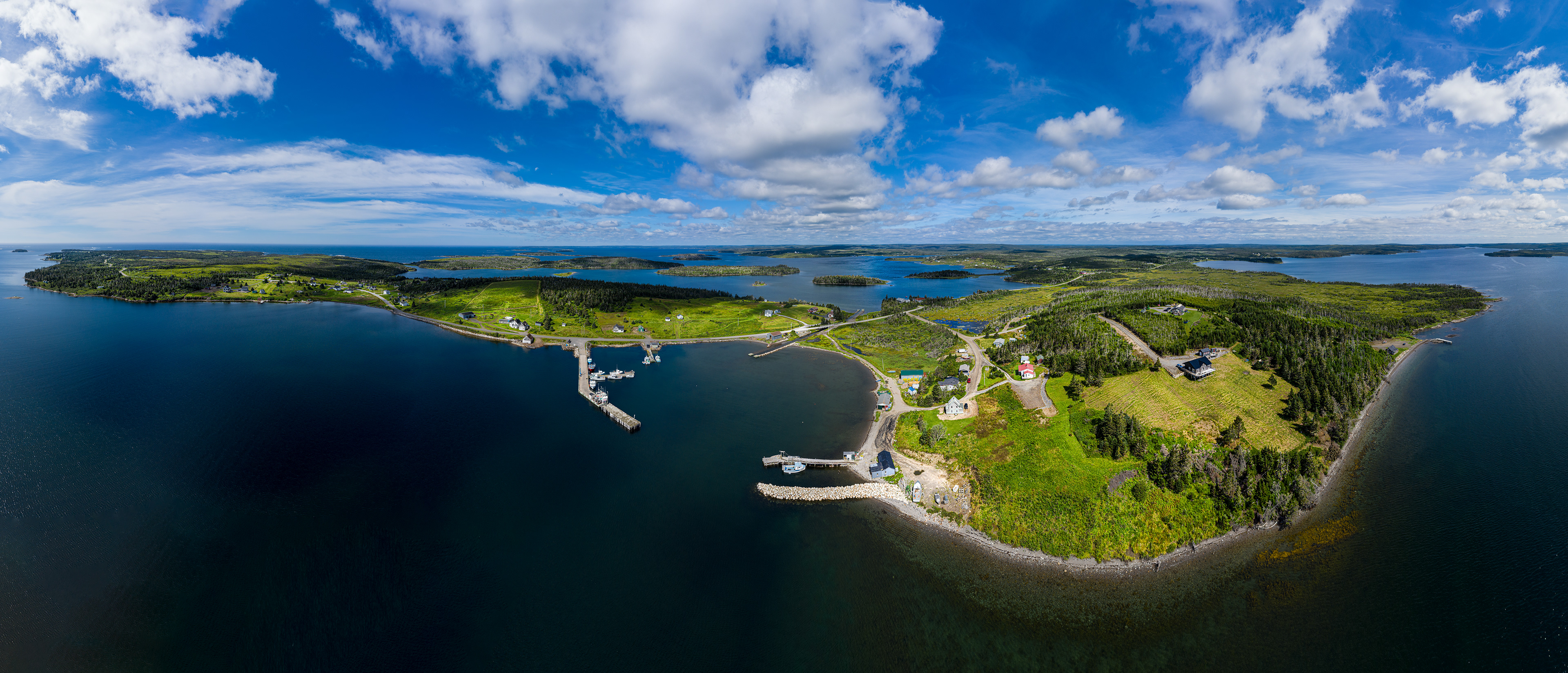
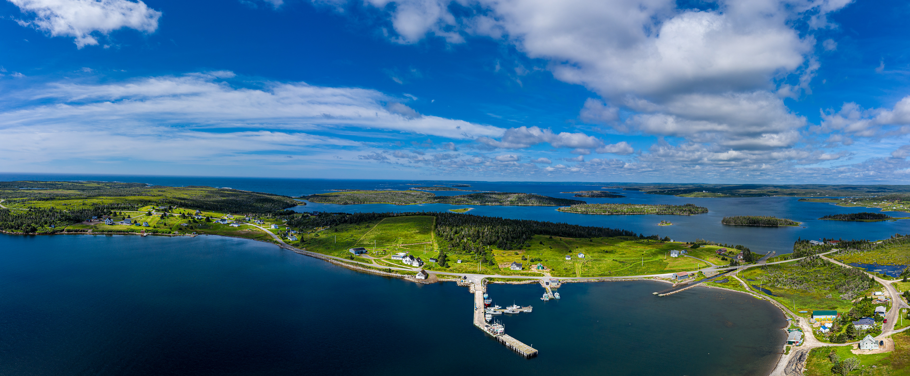
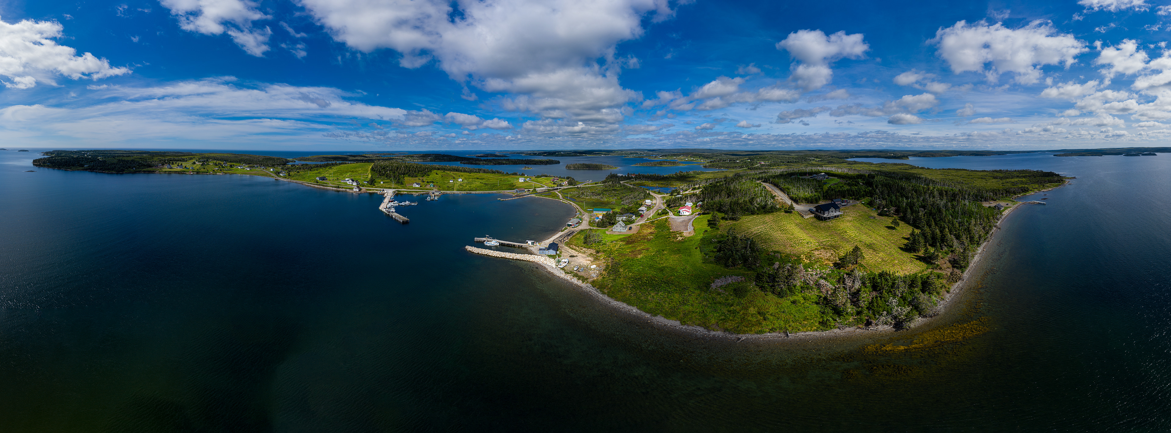
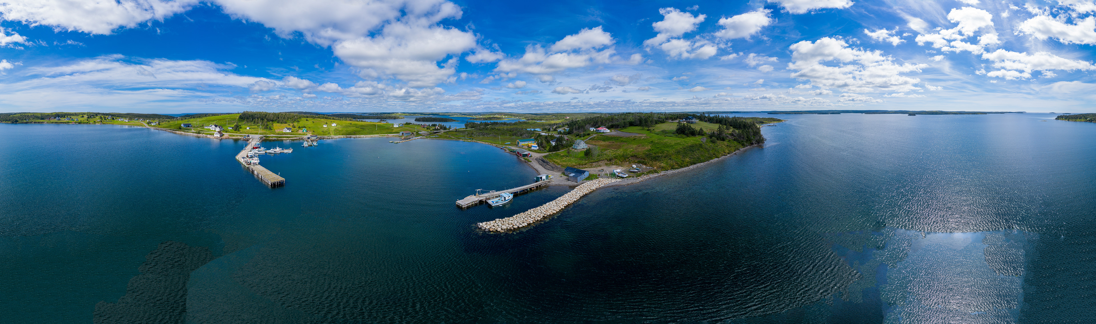
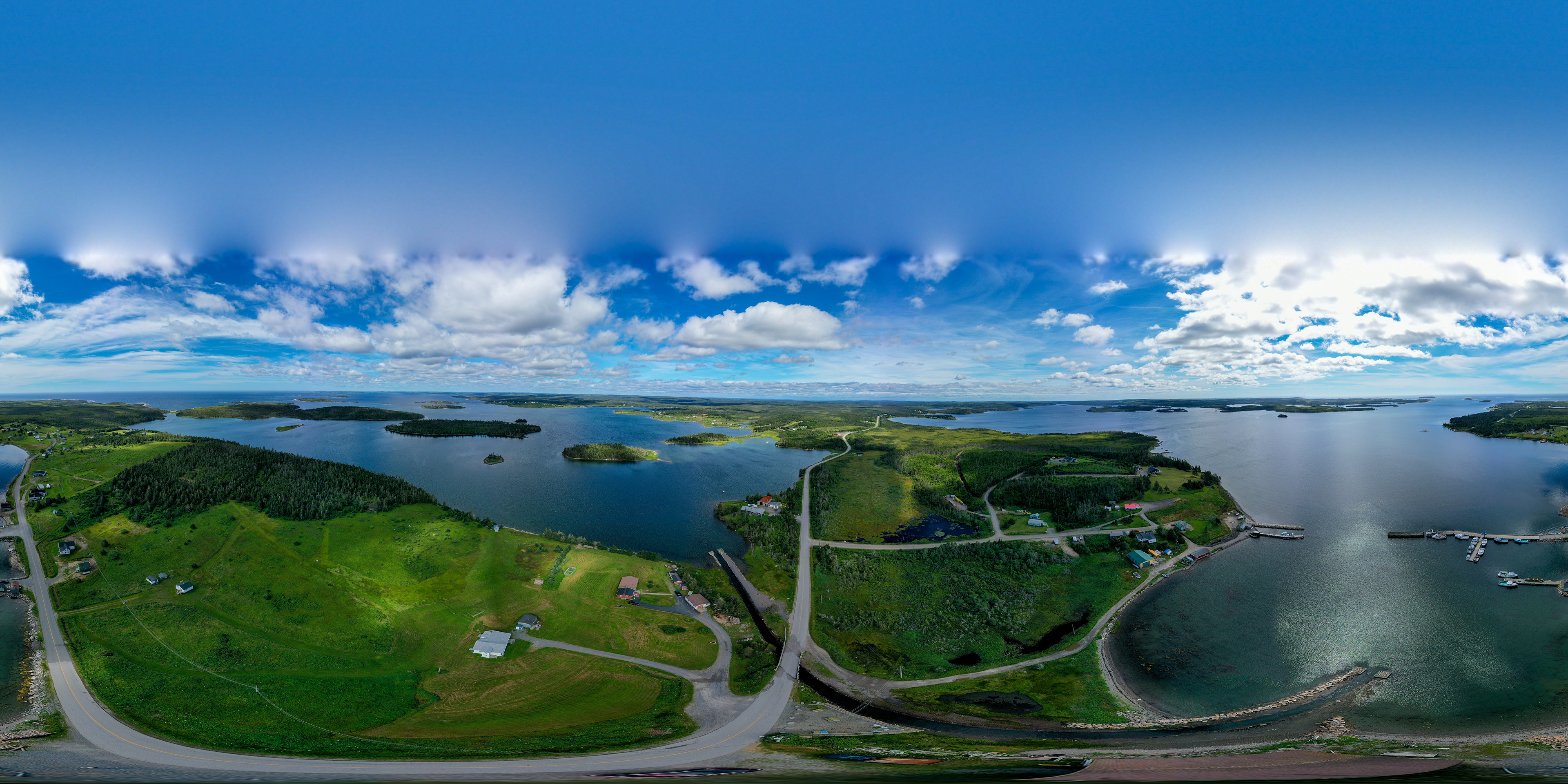
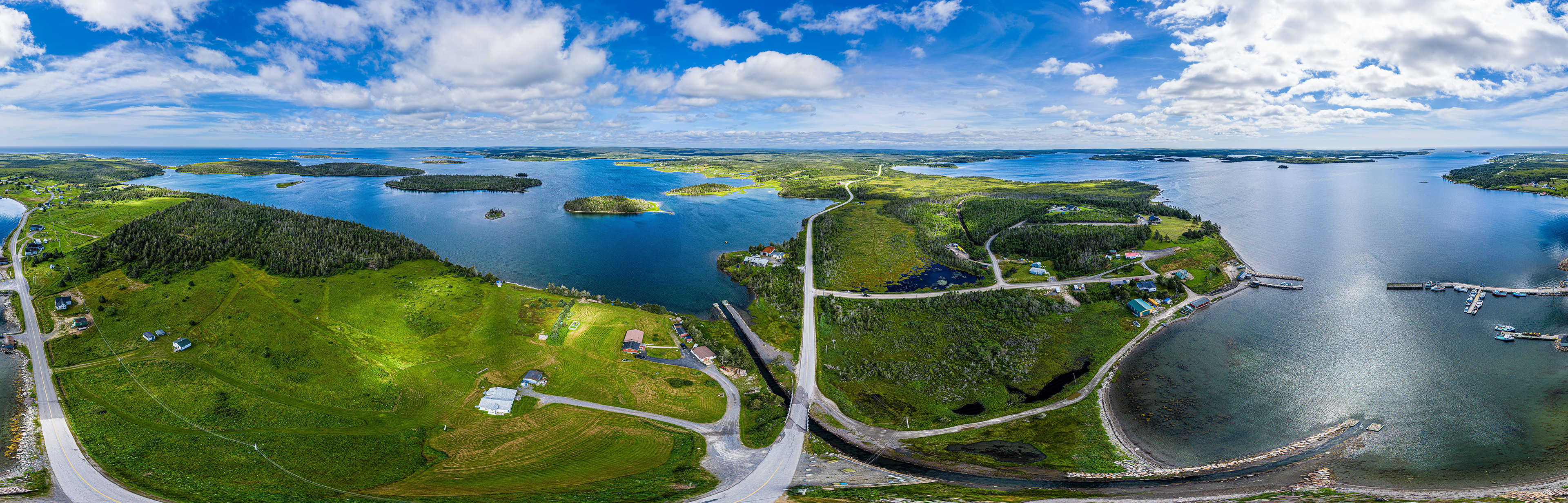
At the time of shoot the drone actually paused for a moment and produces a 360 jpg, on the left. Most images were acceptable but lightroom on the whole produce a better image. Examples of failures will be given. The image on the right is a reduction for web and behance restrictions, the images is produced by Lightroom Photo Merge Panorama Spherical and over 600 mb. Of course the image is distorted as a flat projection of a spherical image. The road is actually straight. (505)
The drone location turned out to be important. The better locations sometimes restricted Lightroom's ability to produce a spherical image. With the 26 images I then choose selected portions to produce desired panoramas.
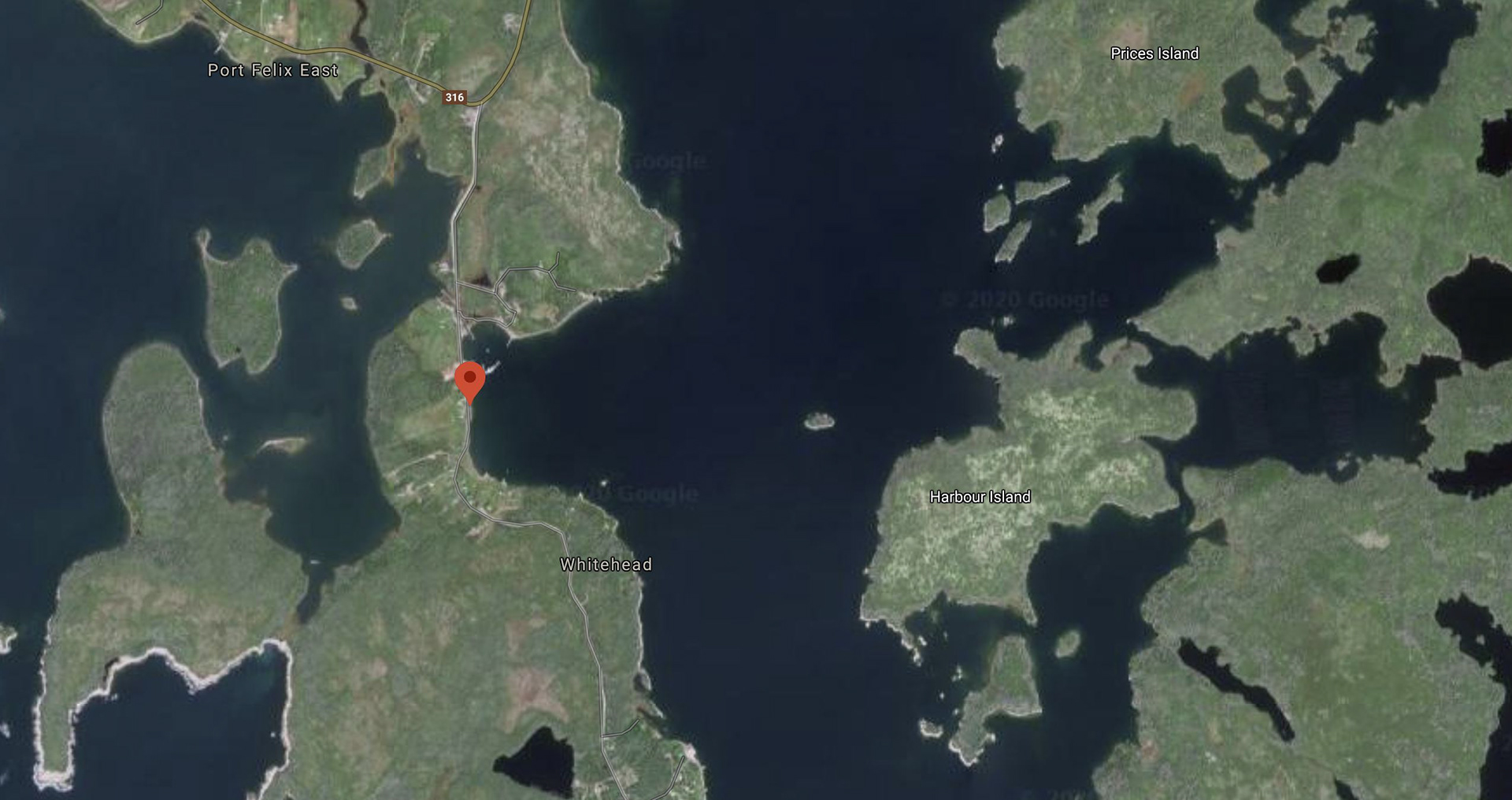
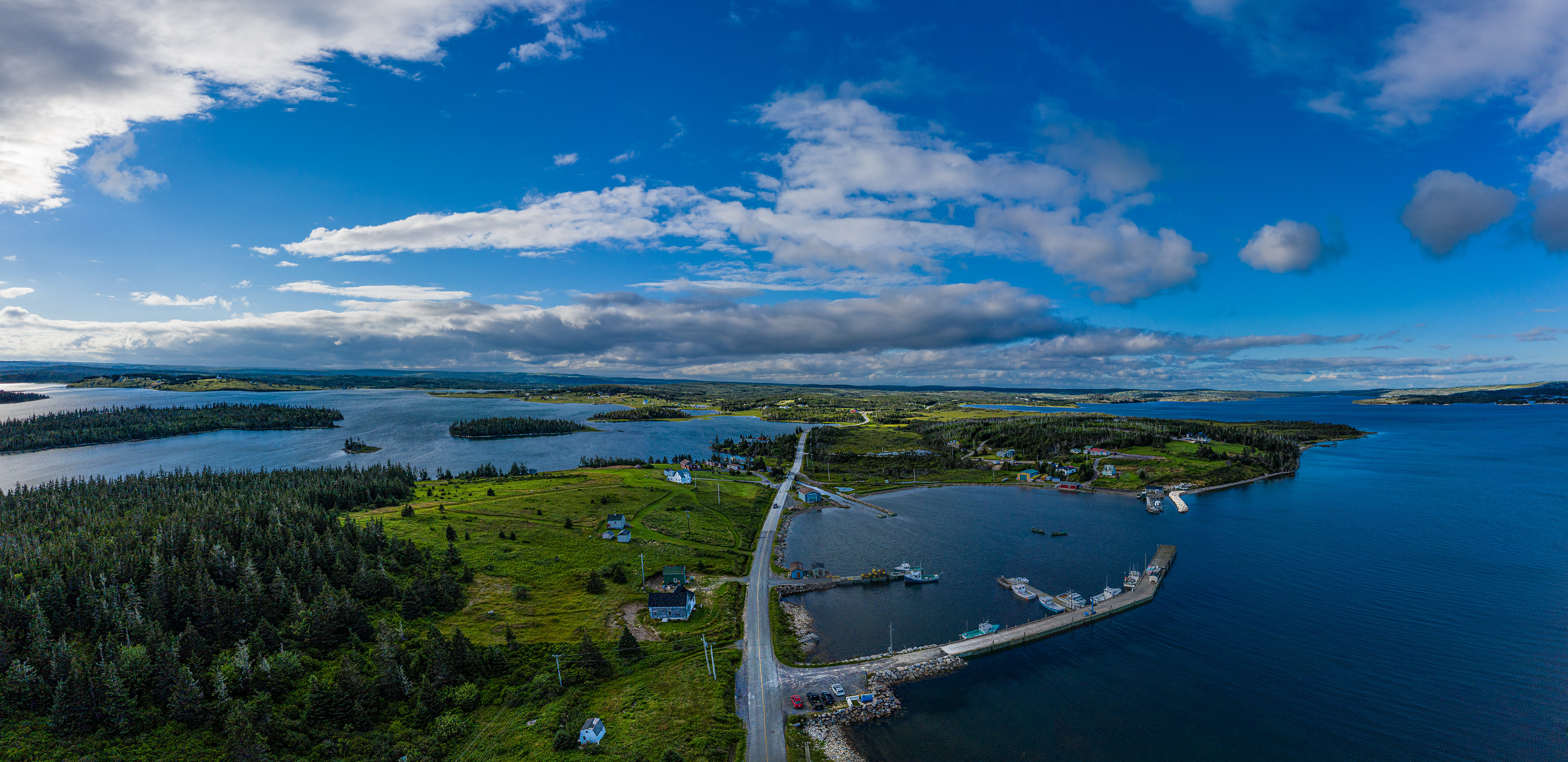
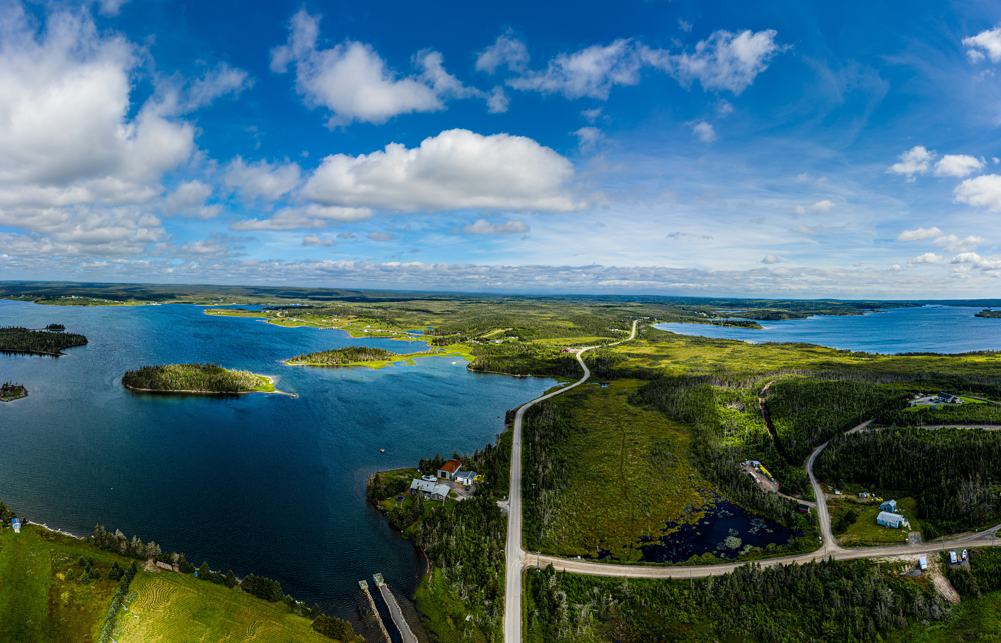
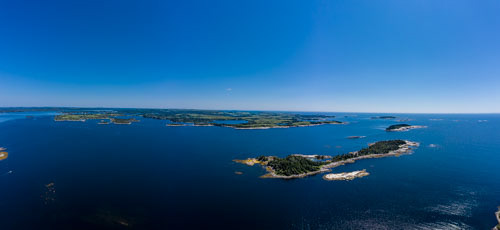
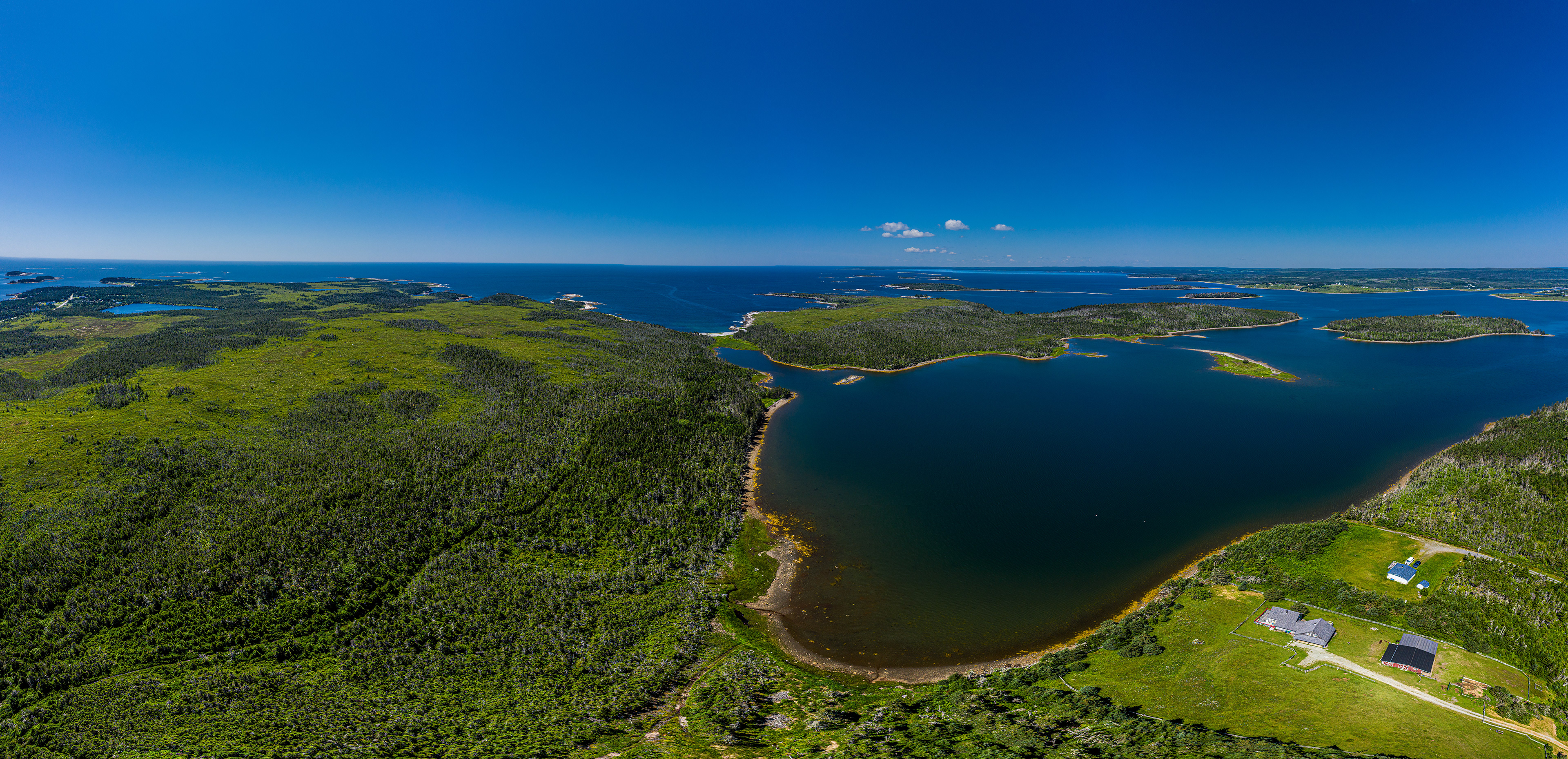
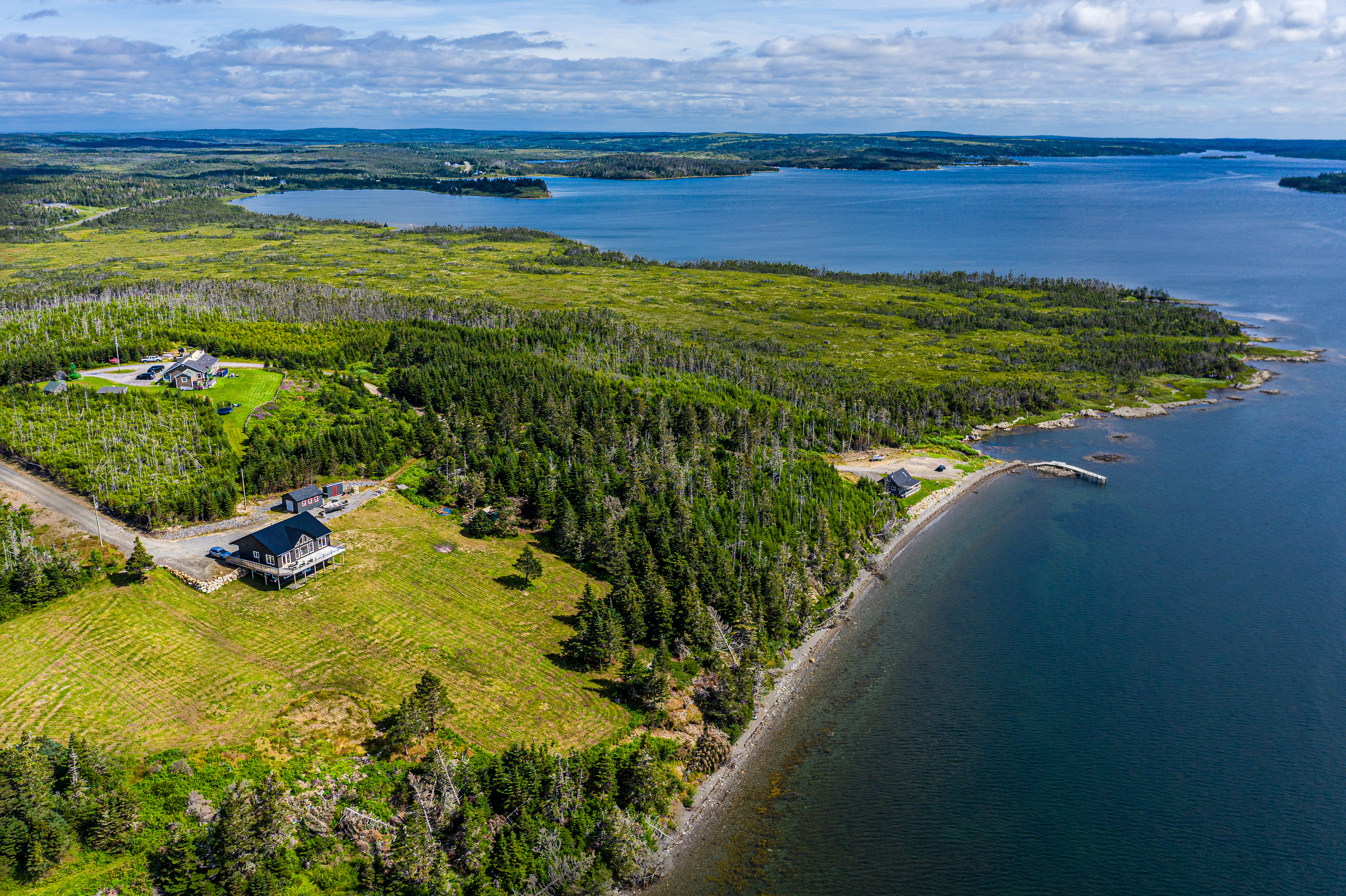
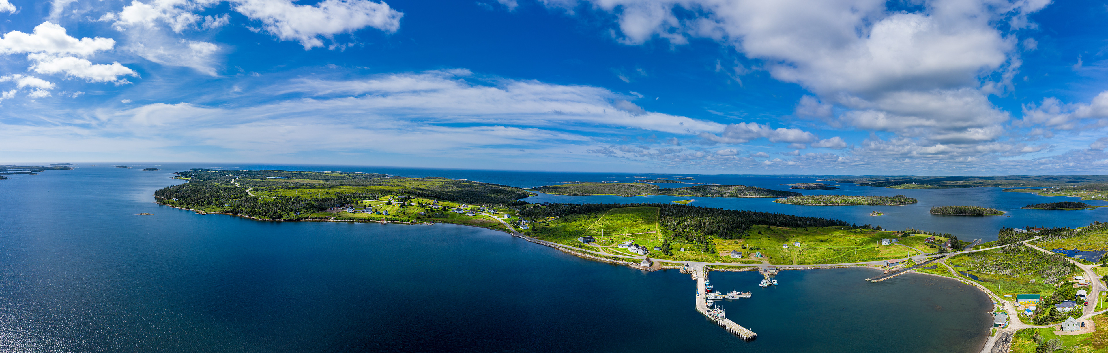
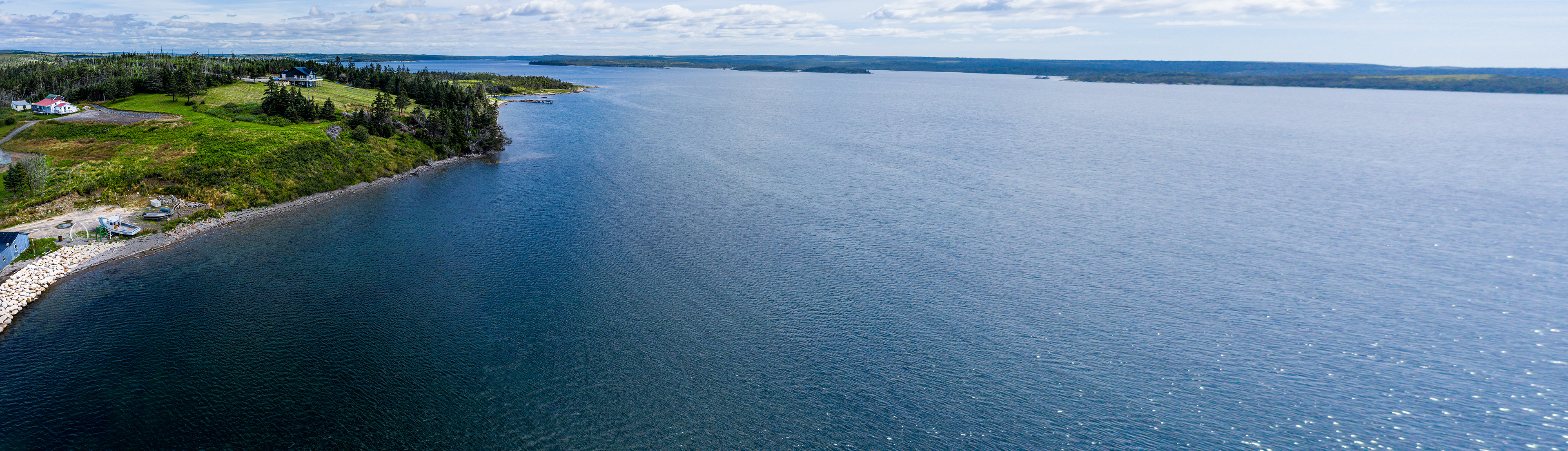
The next location although still in the Whitehead area was still too close to subject area. I had much difficulty getting a 360 panorama. The images produced by me are much fudged in photoshop and lightroom. (506)
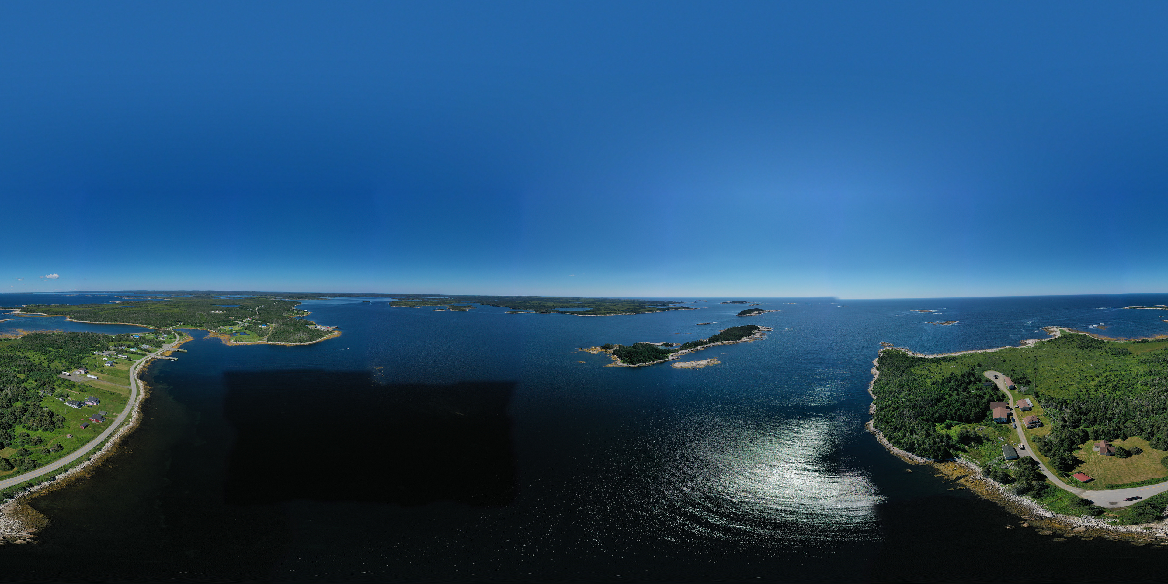
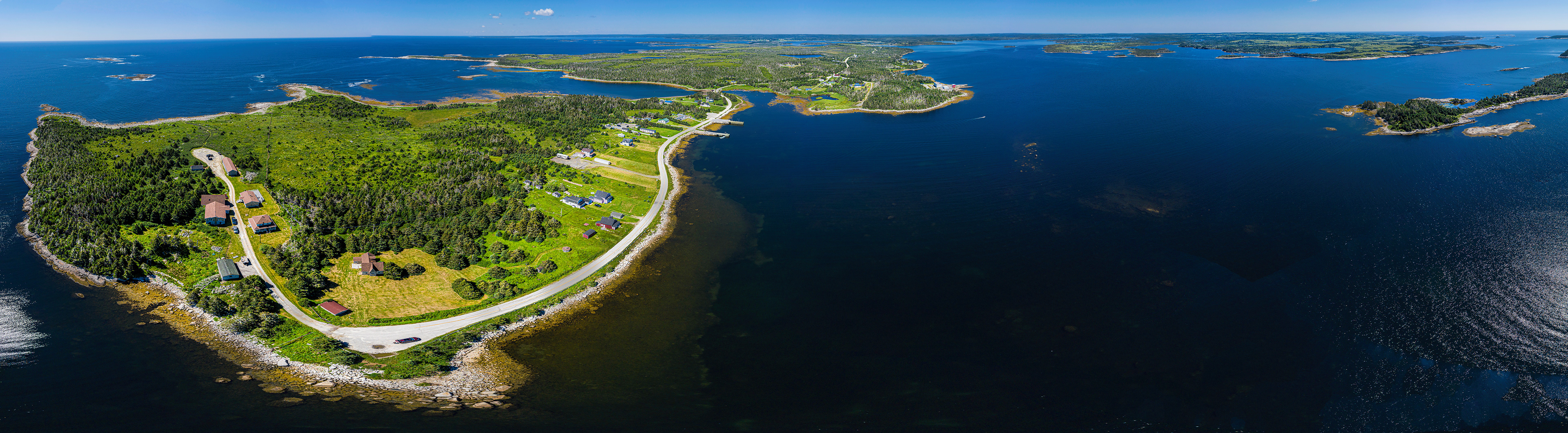
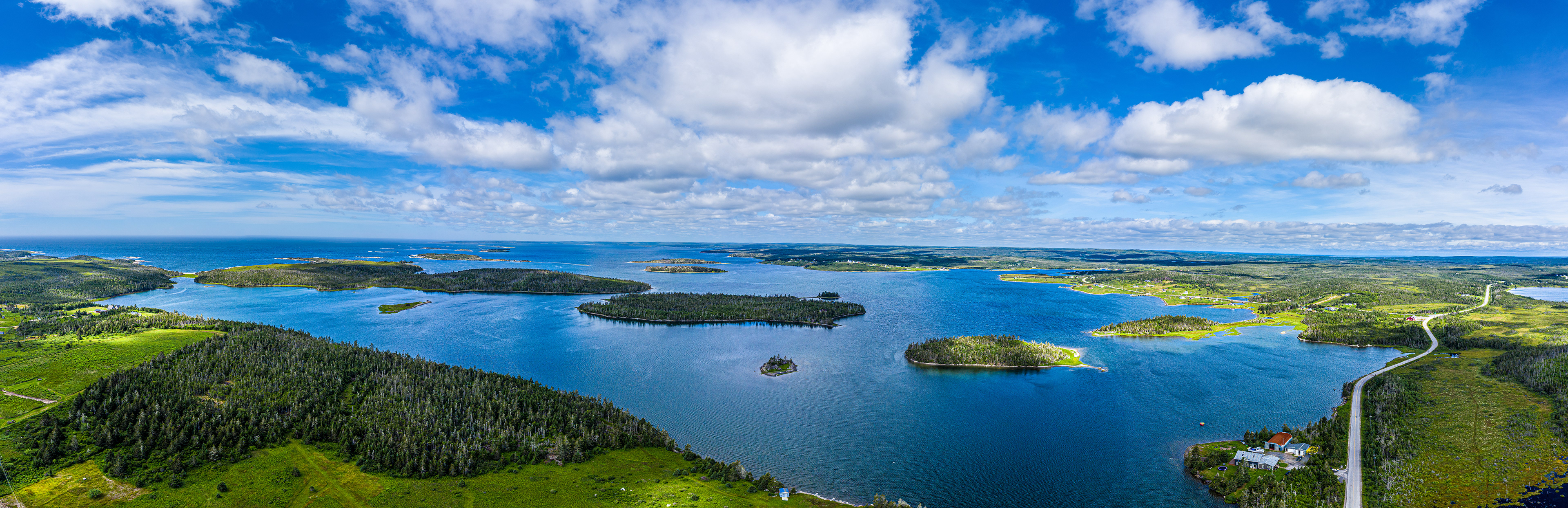
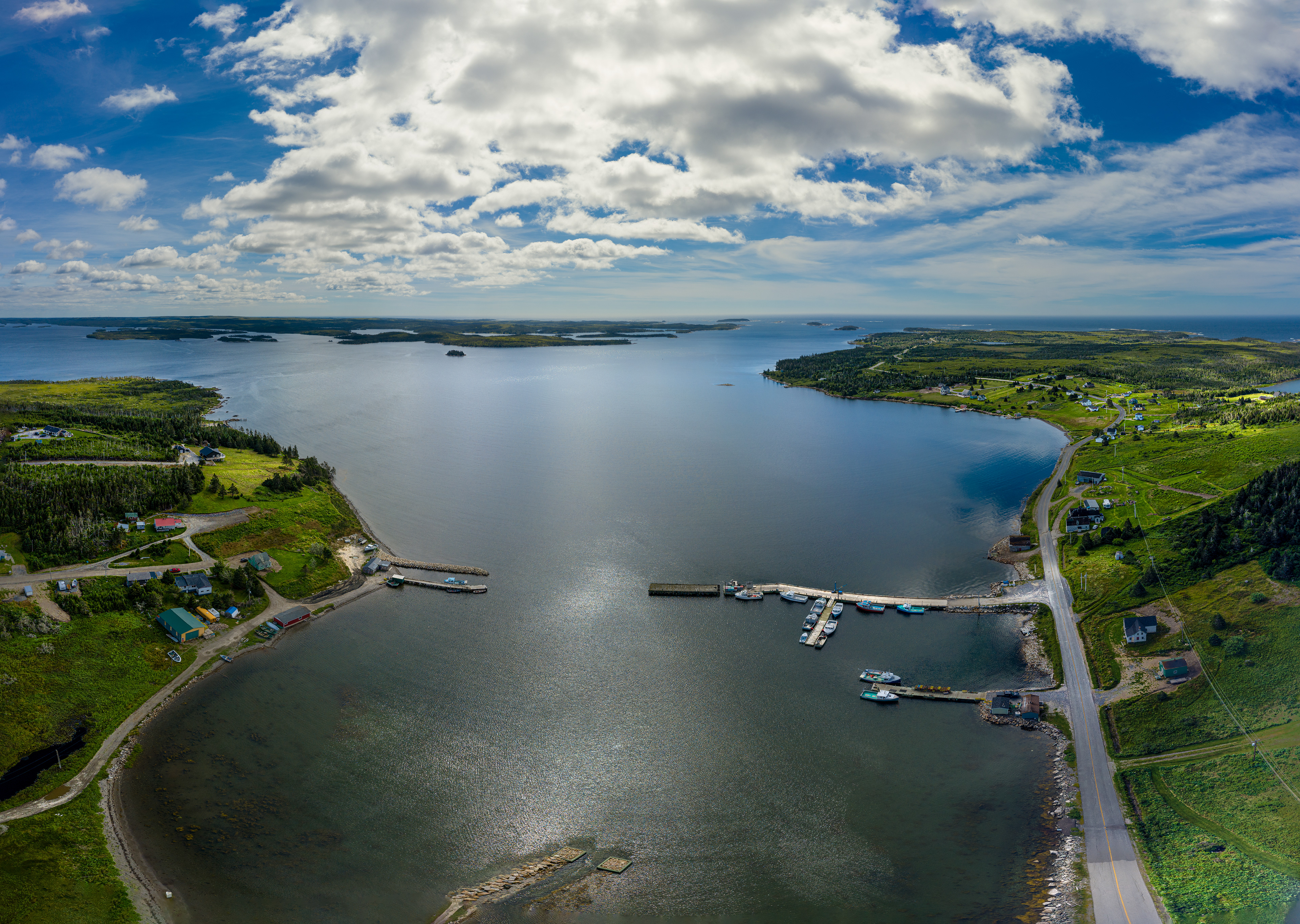
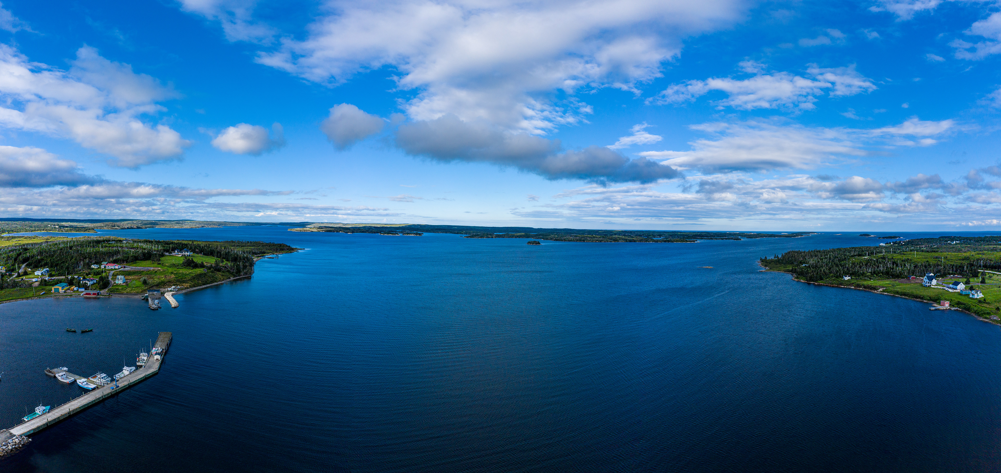
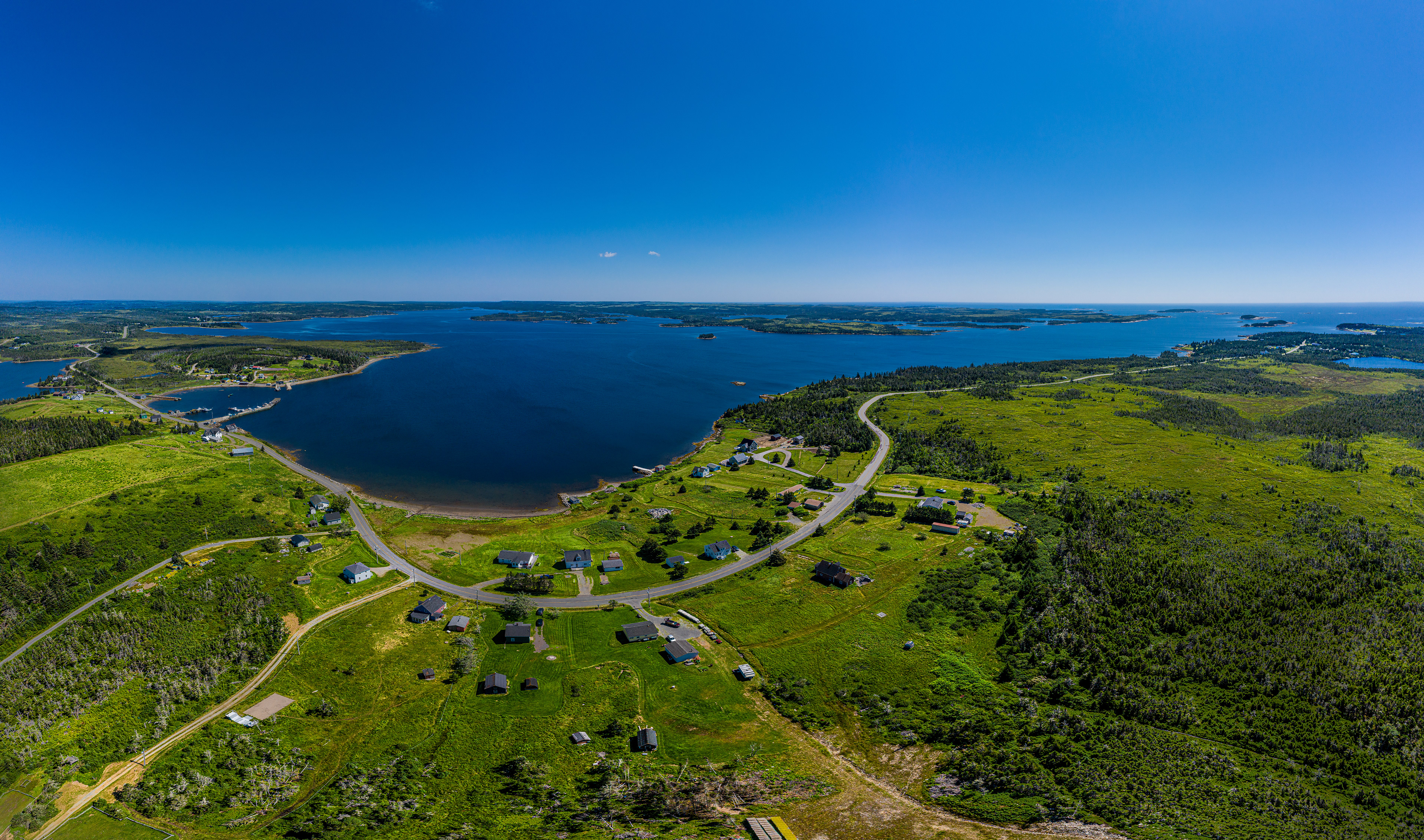
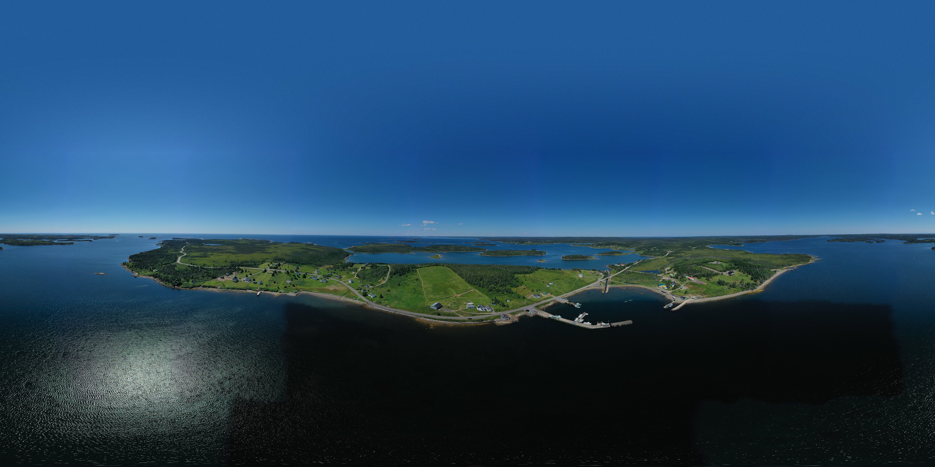
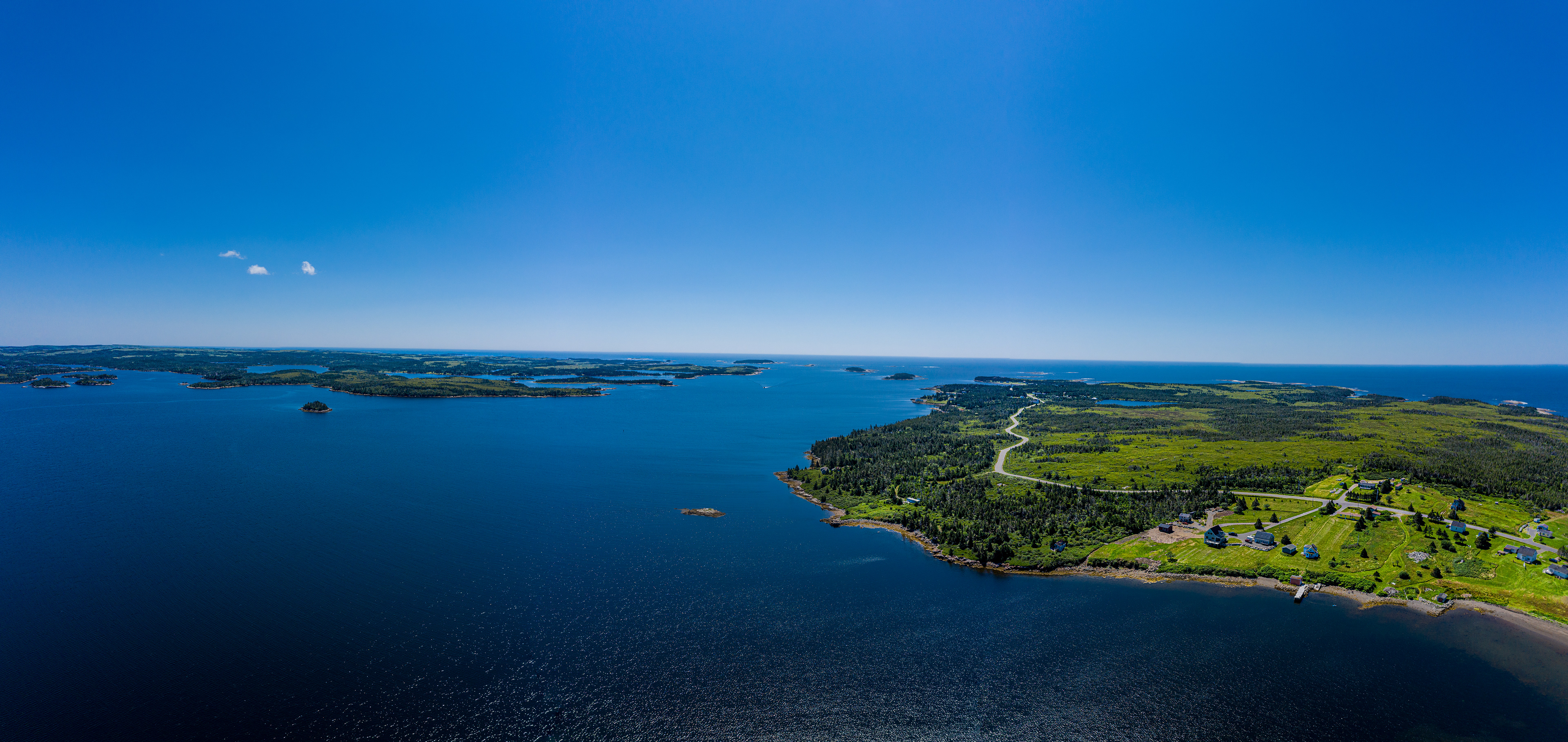
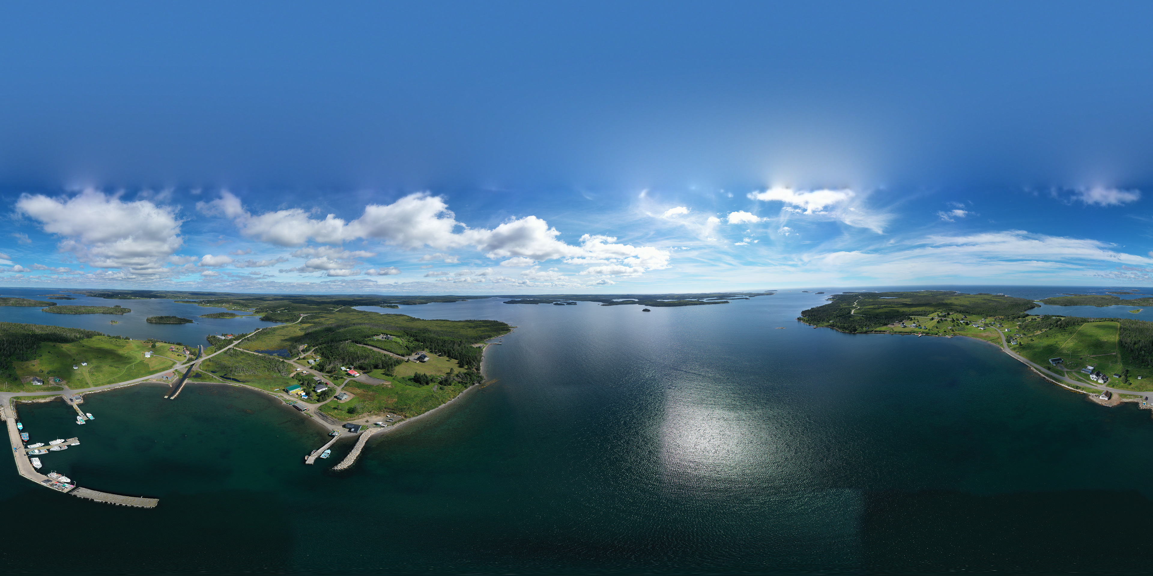
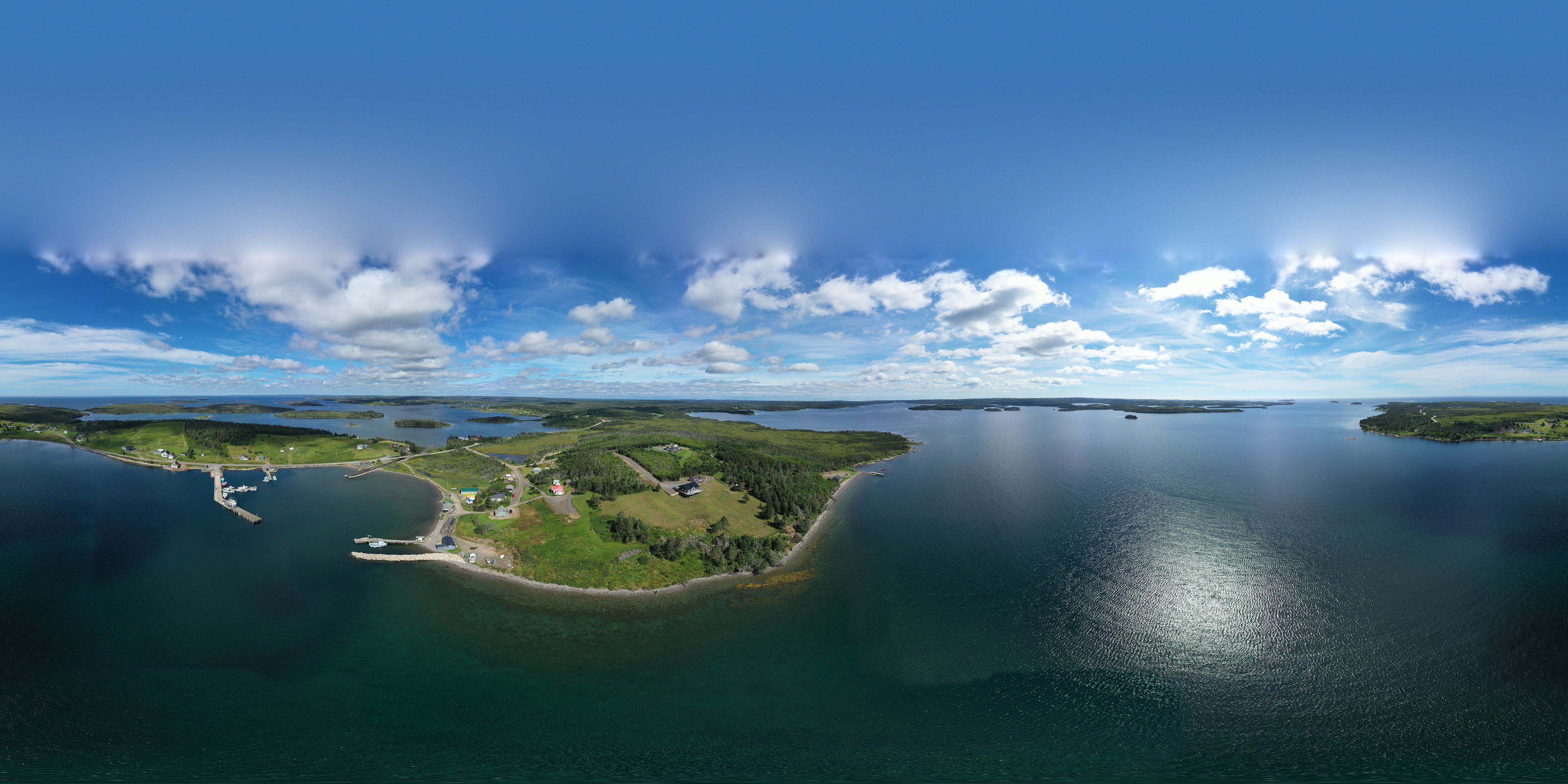
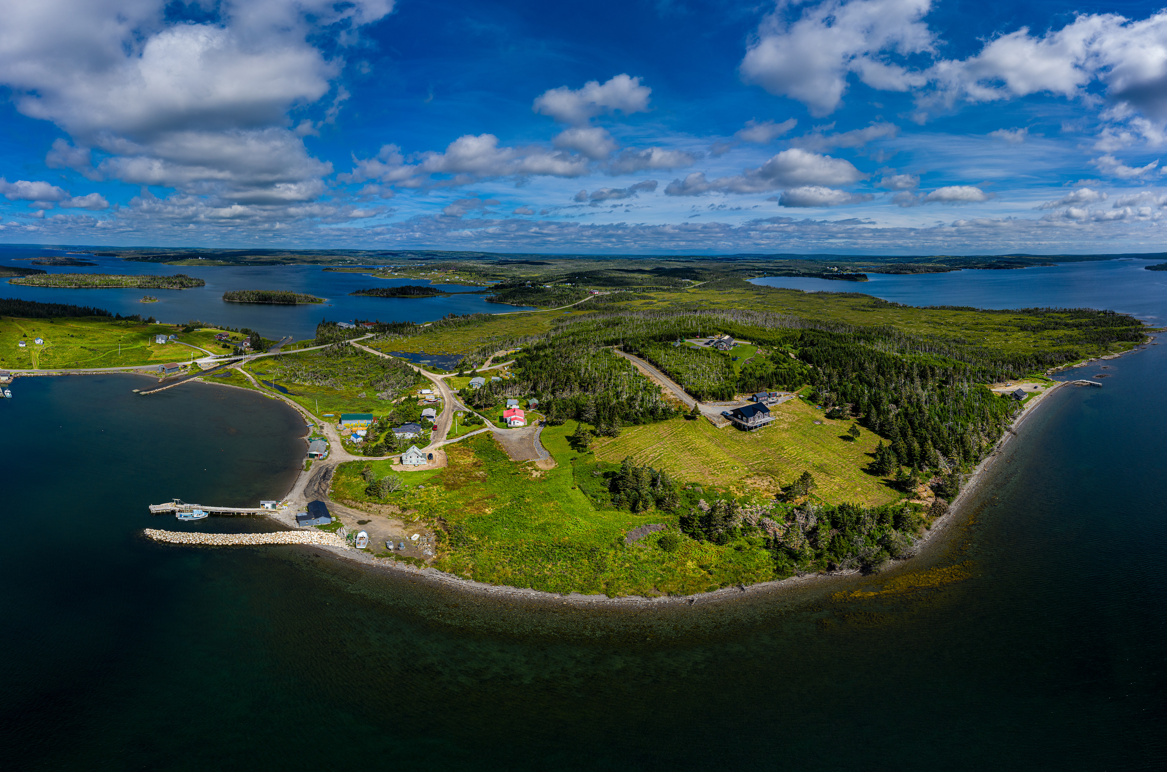
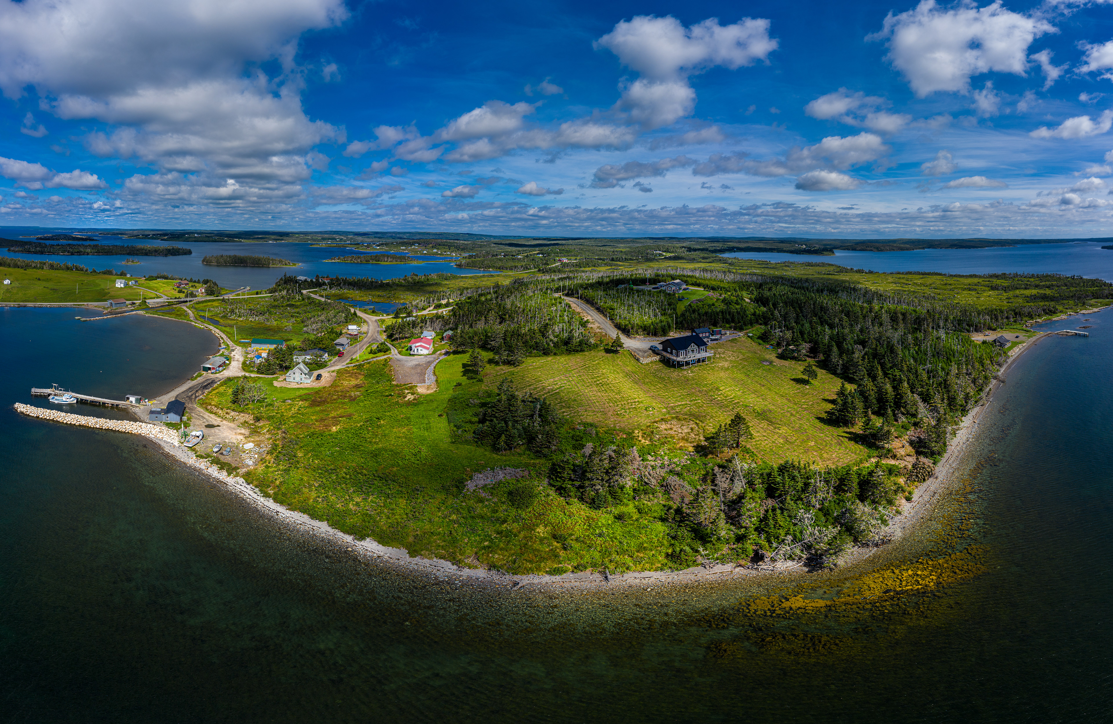
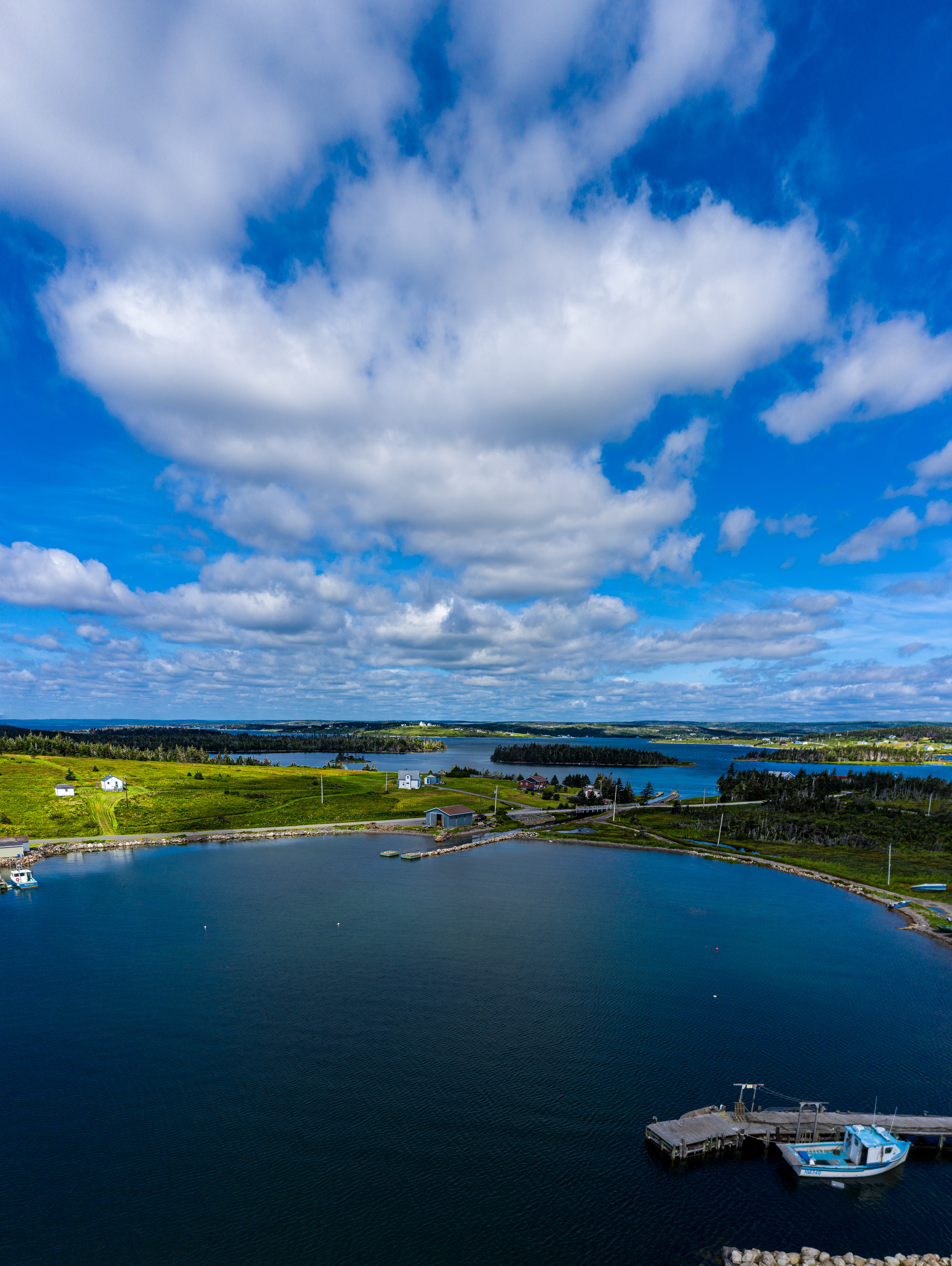
This last one, no manipulation, shows the beauty of the scattered islands. Yes that's a sizable fishing boat in the left corner.
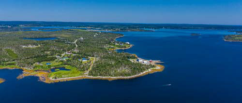
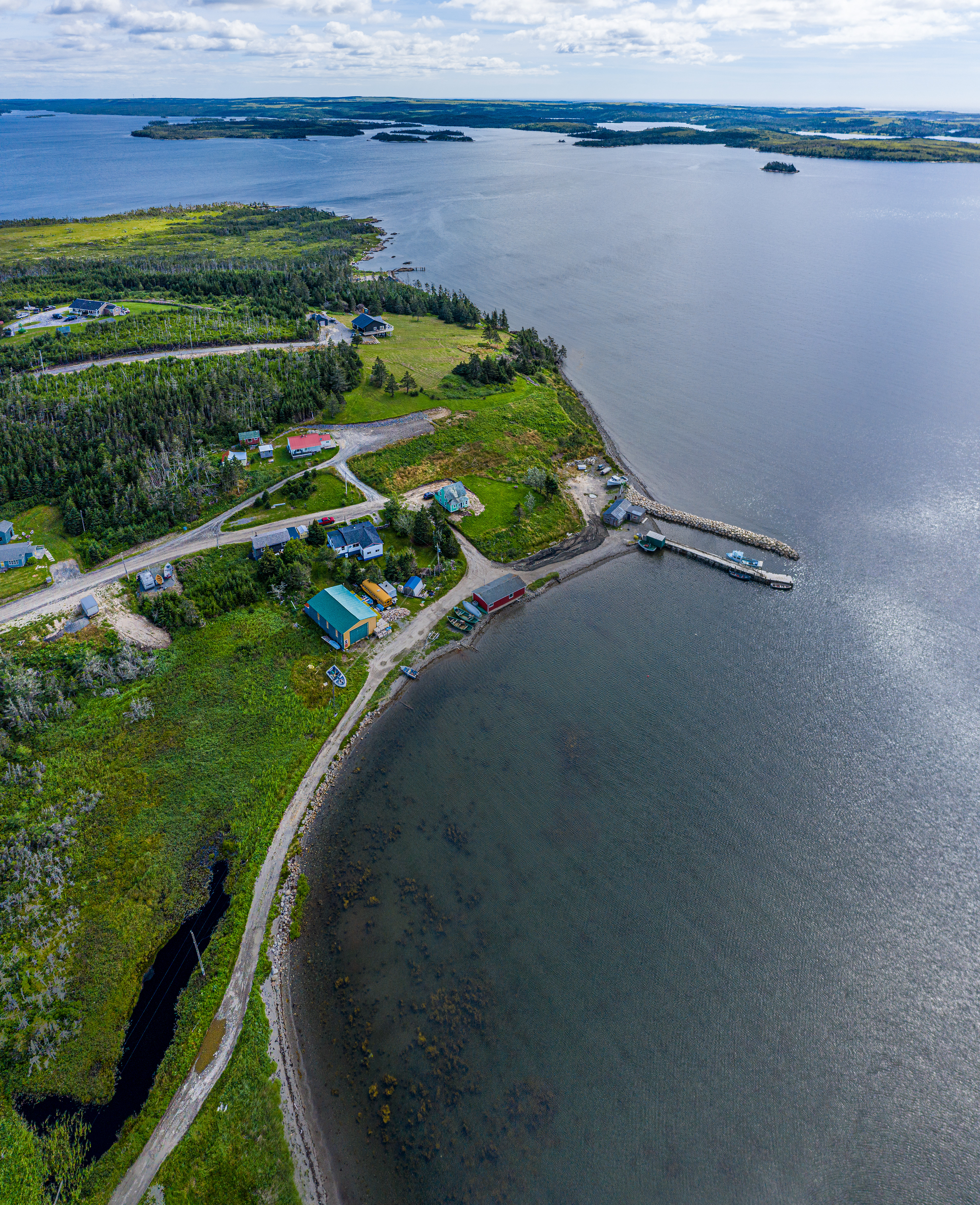
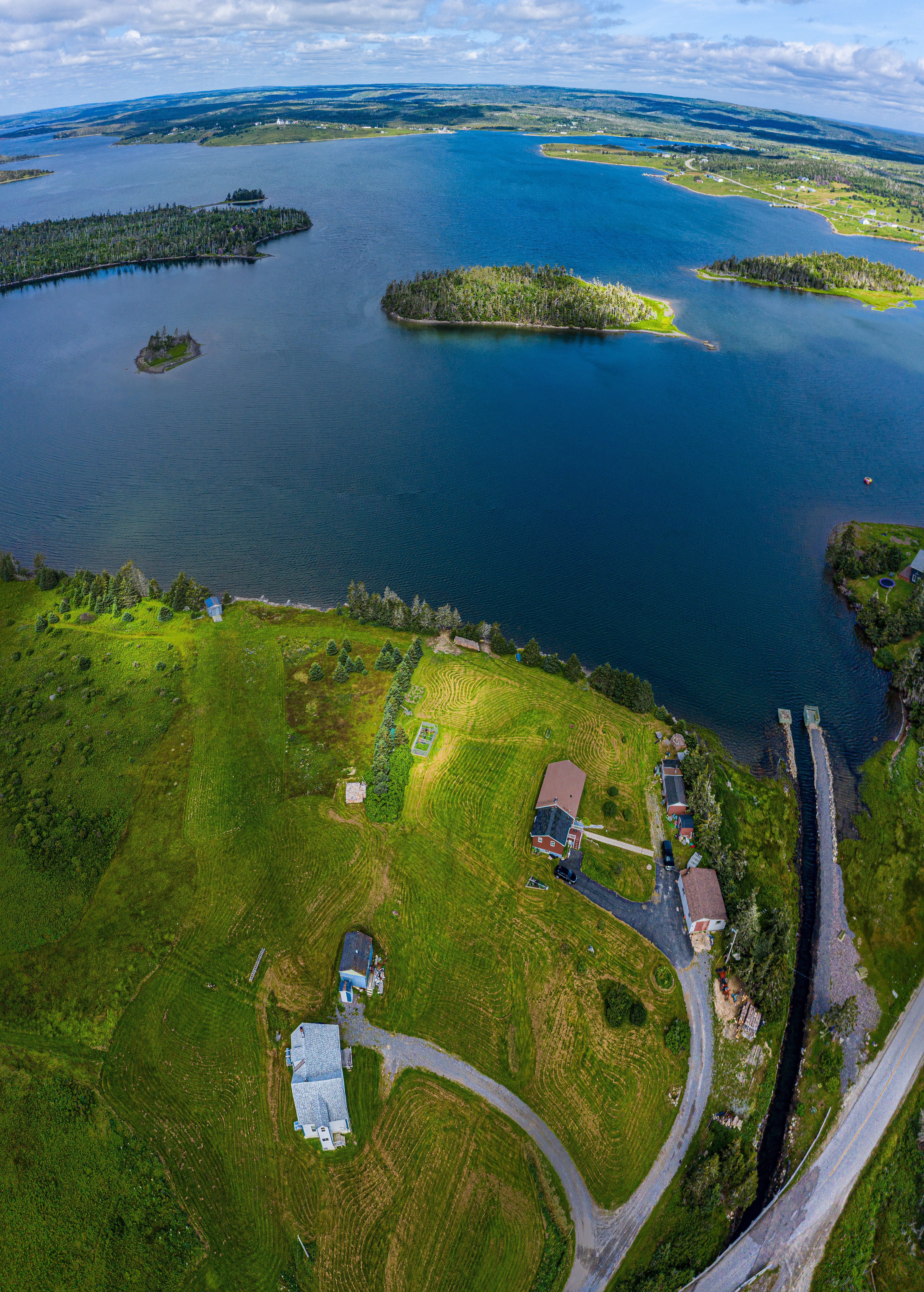
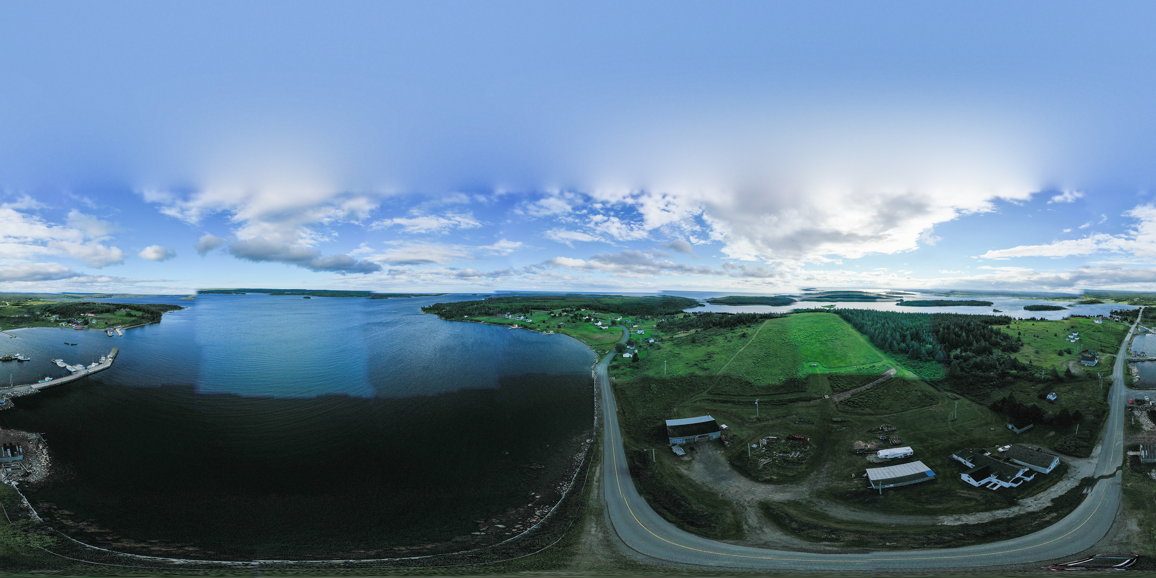
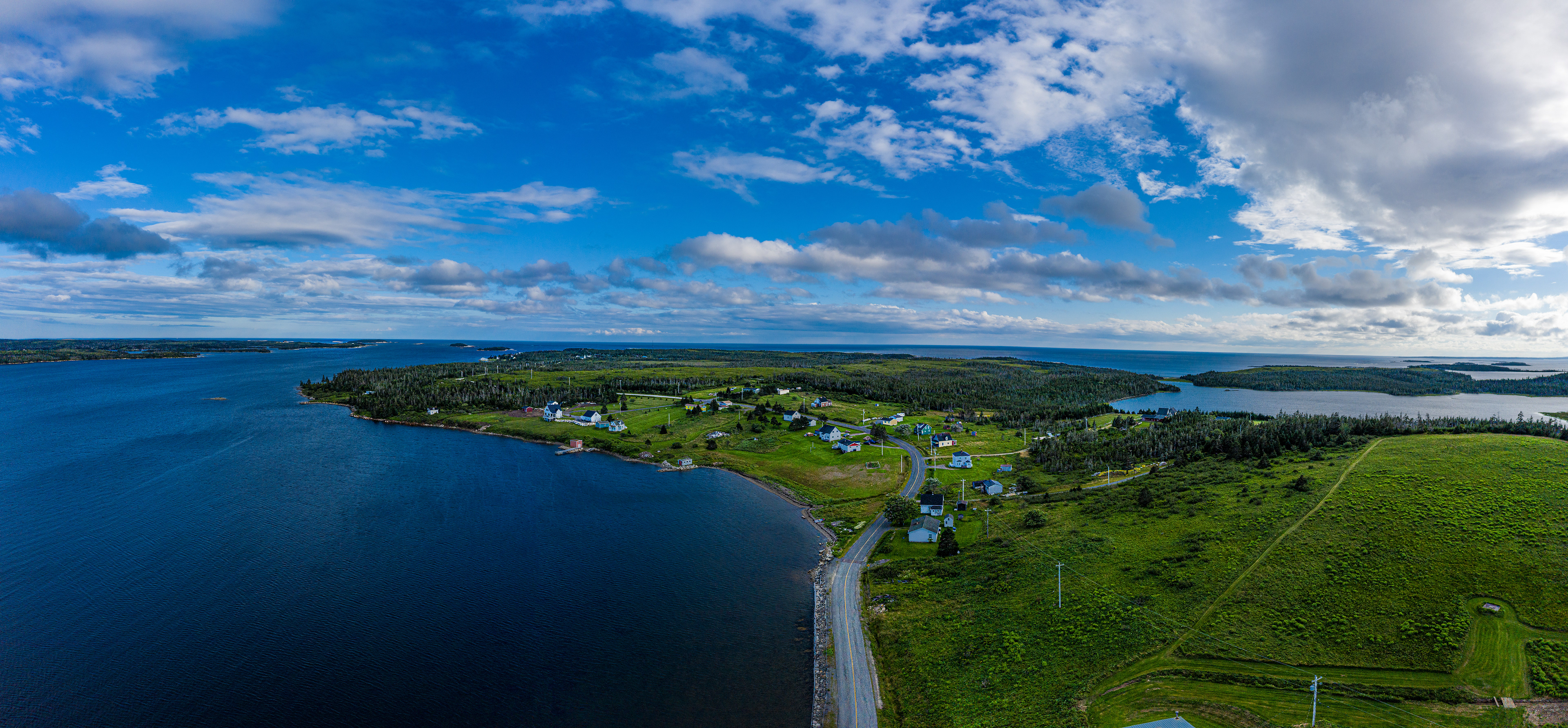
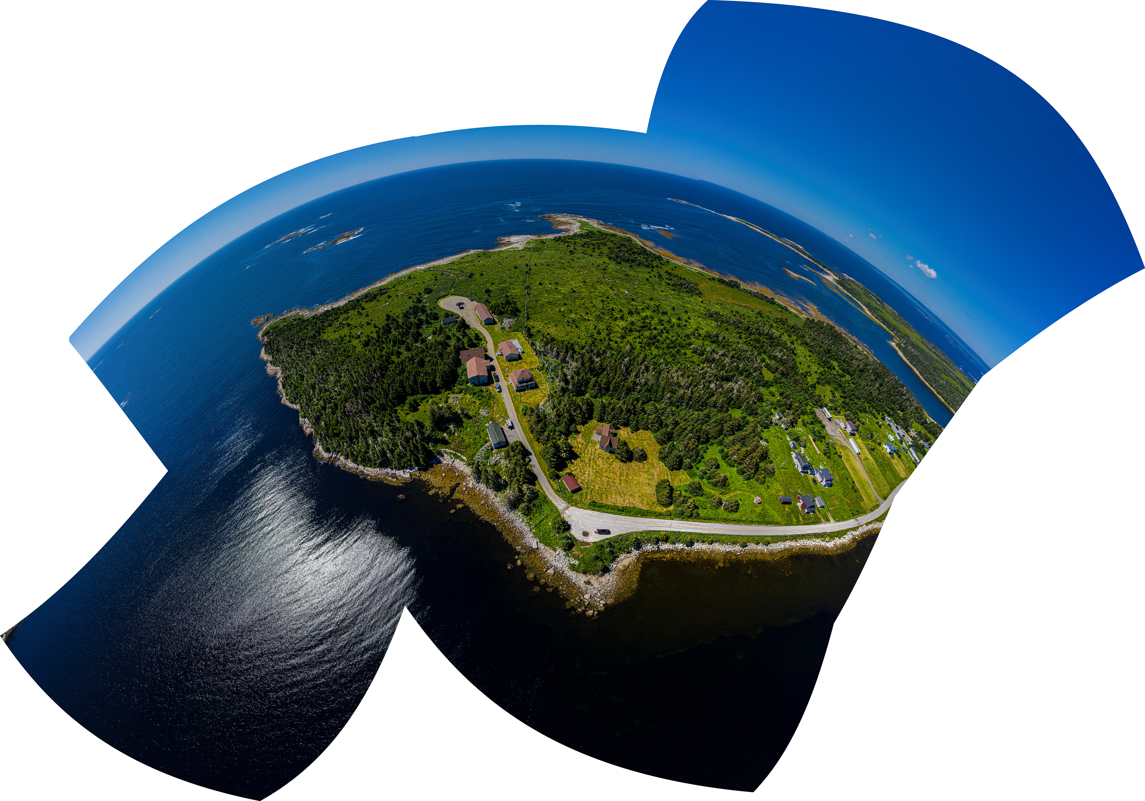
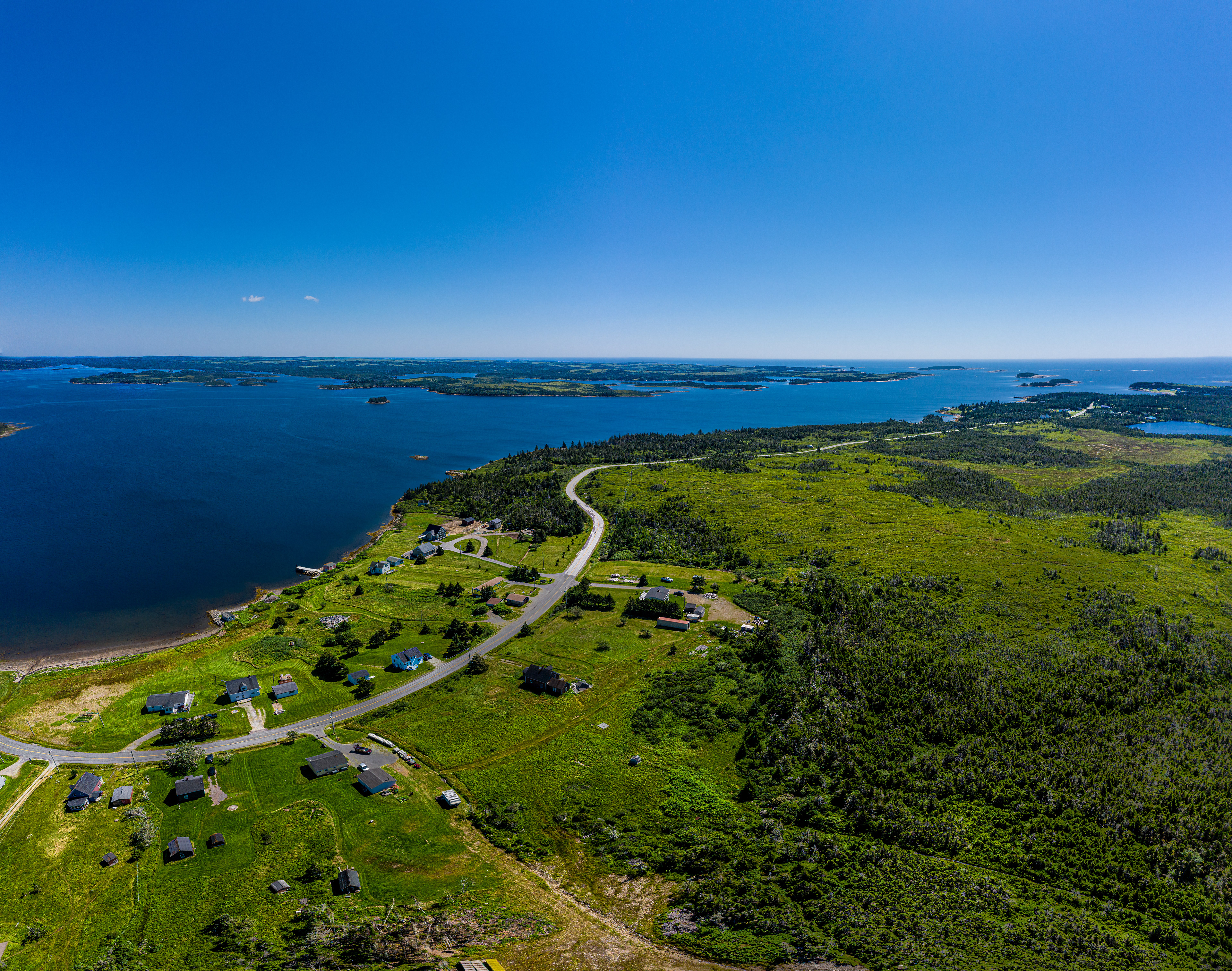
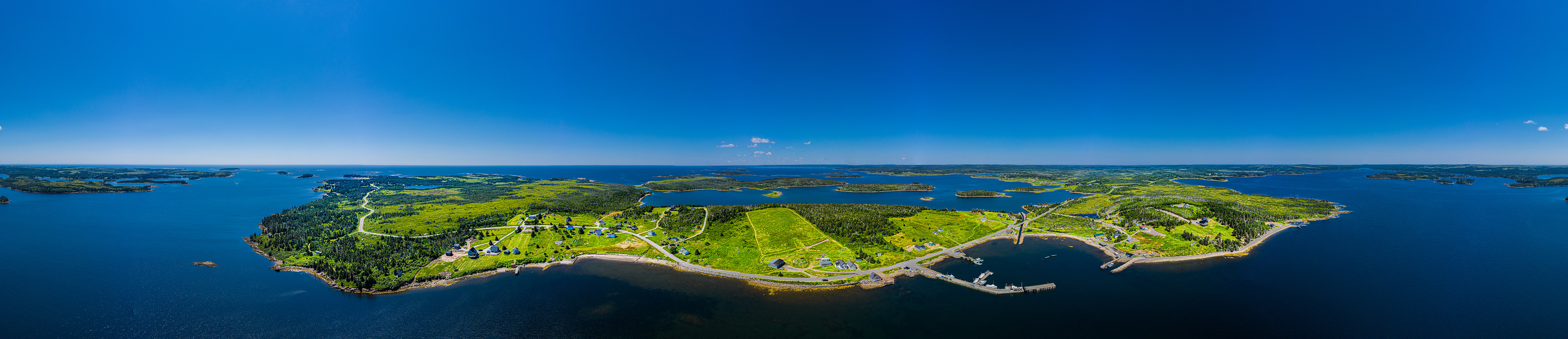
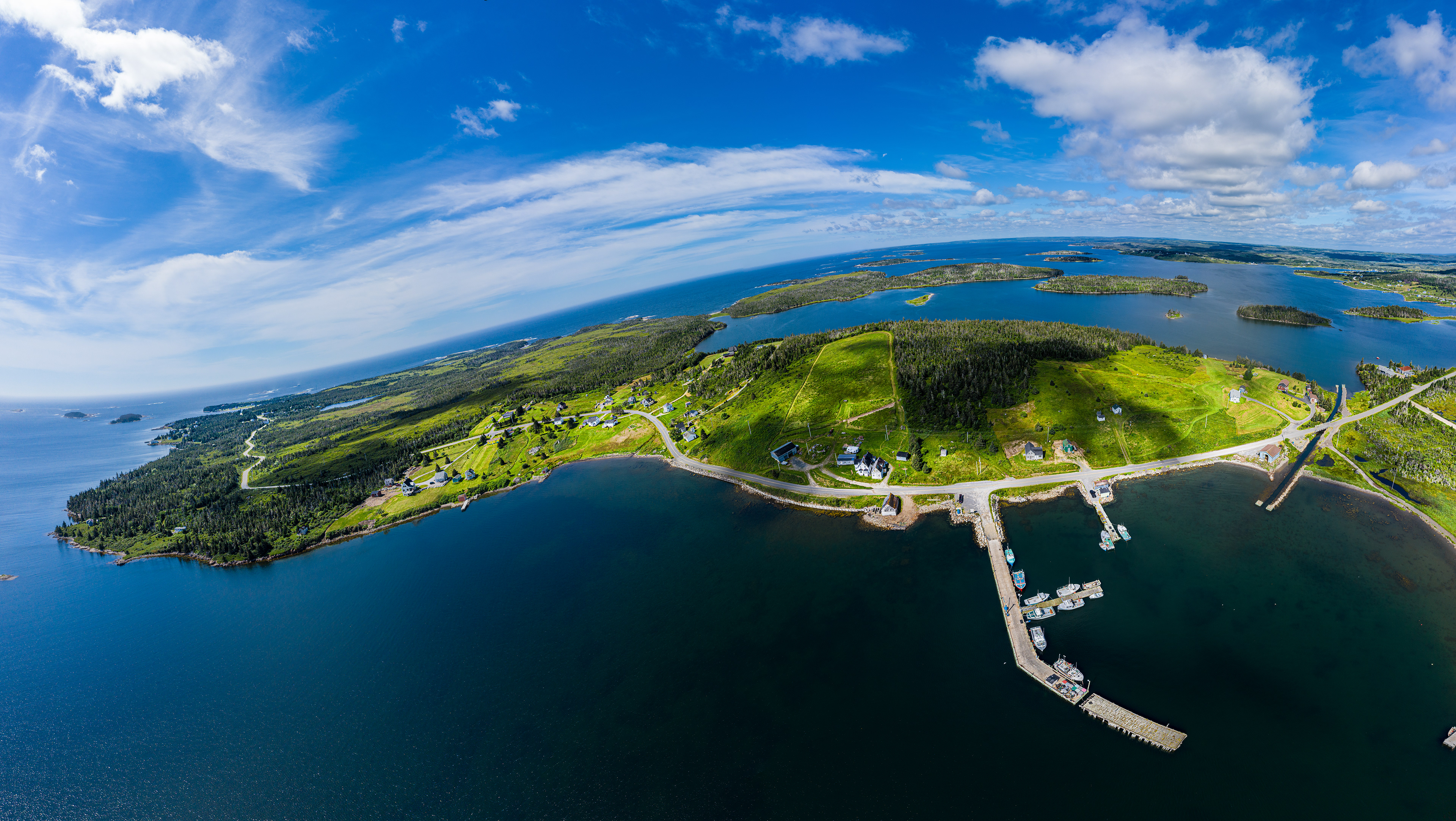
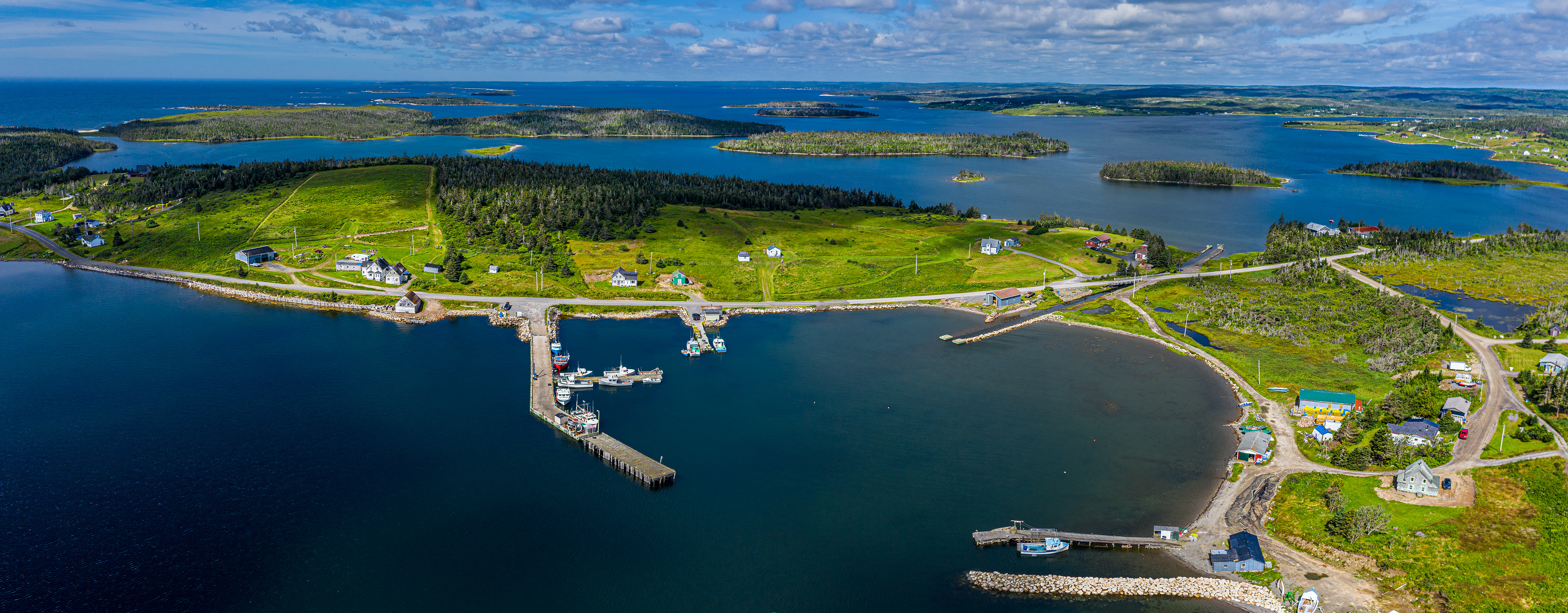
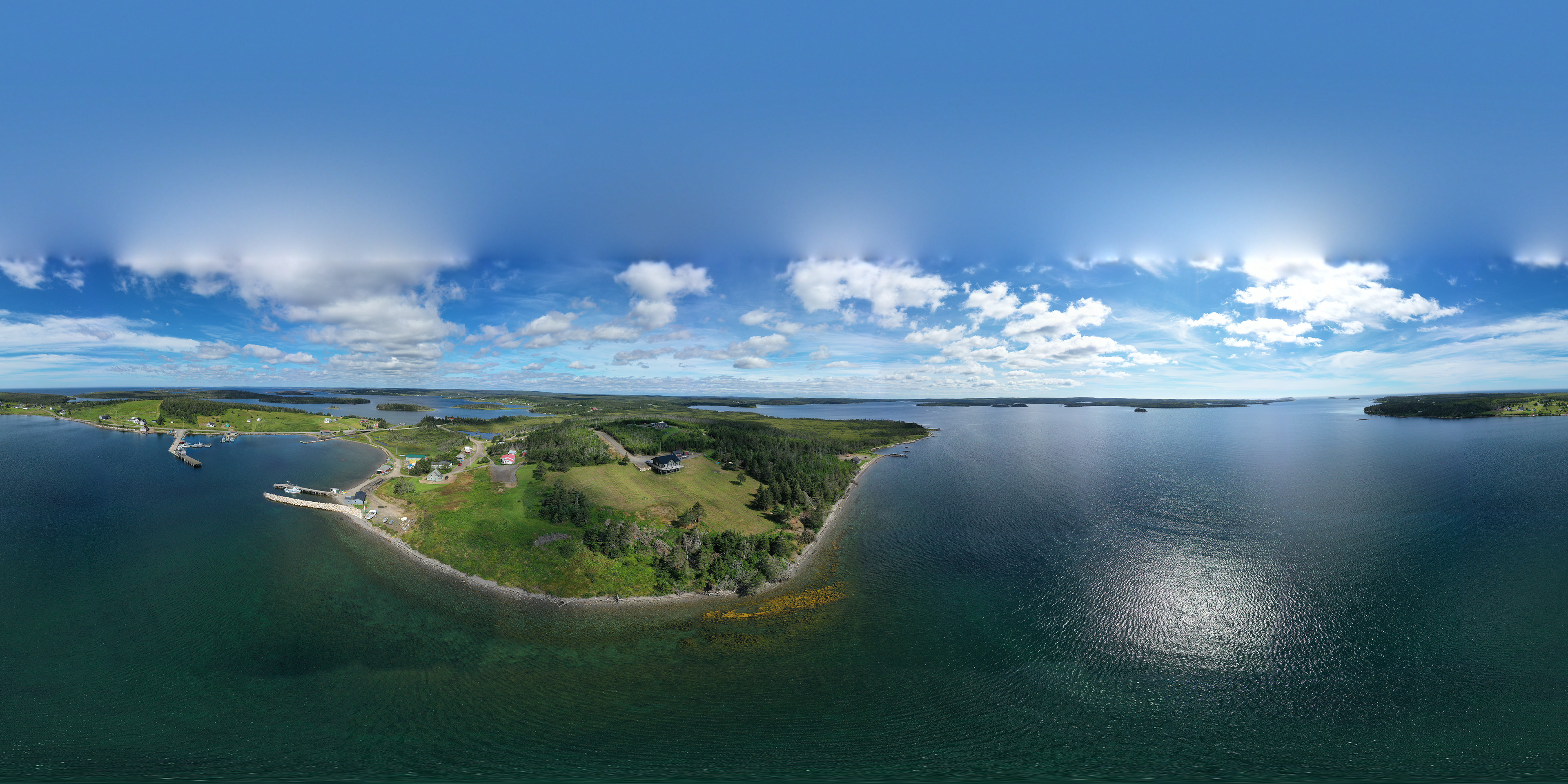
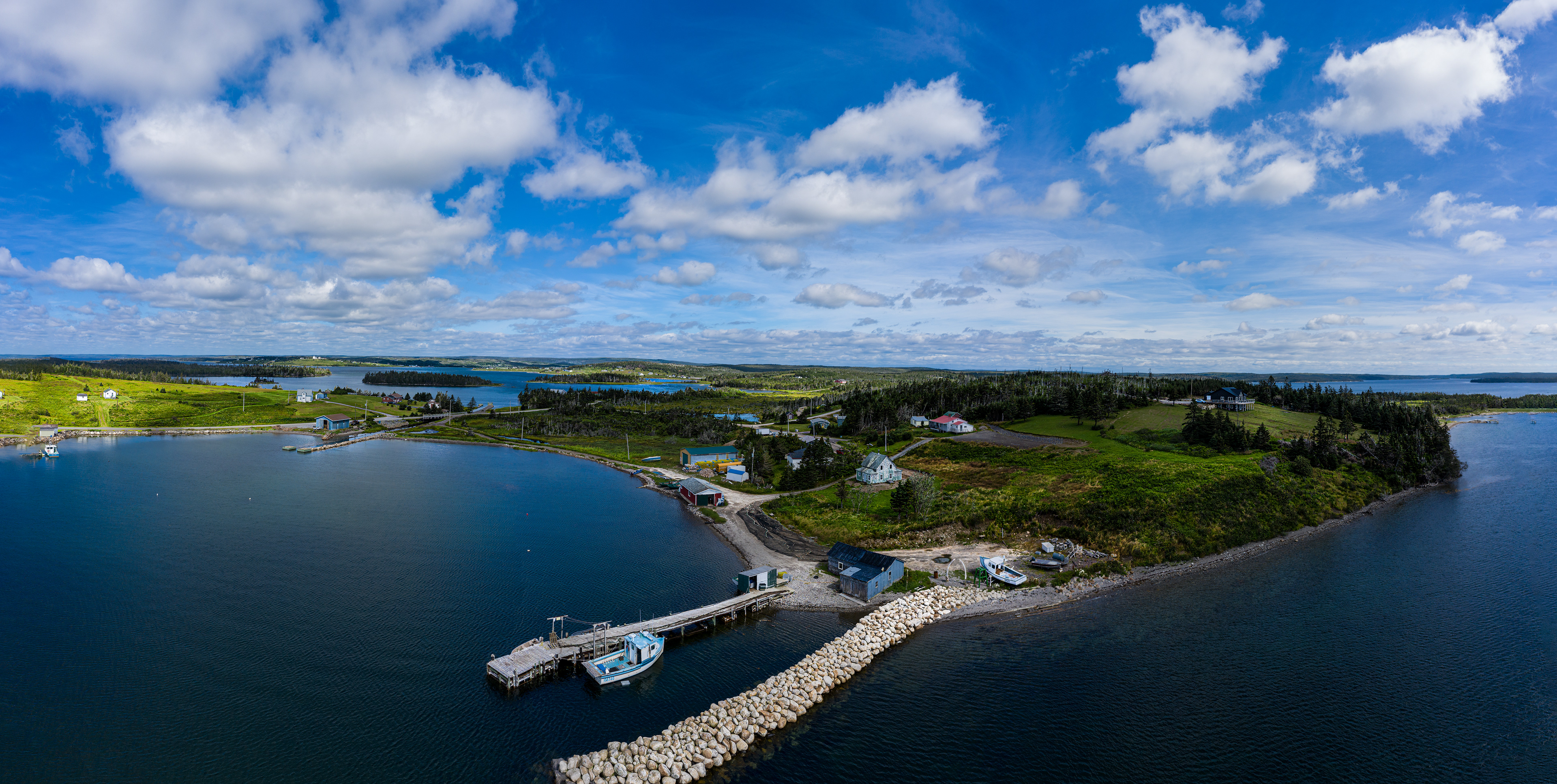
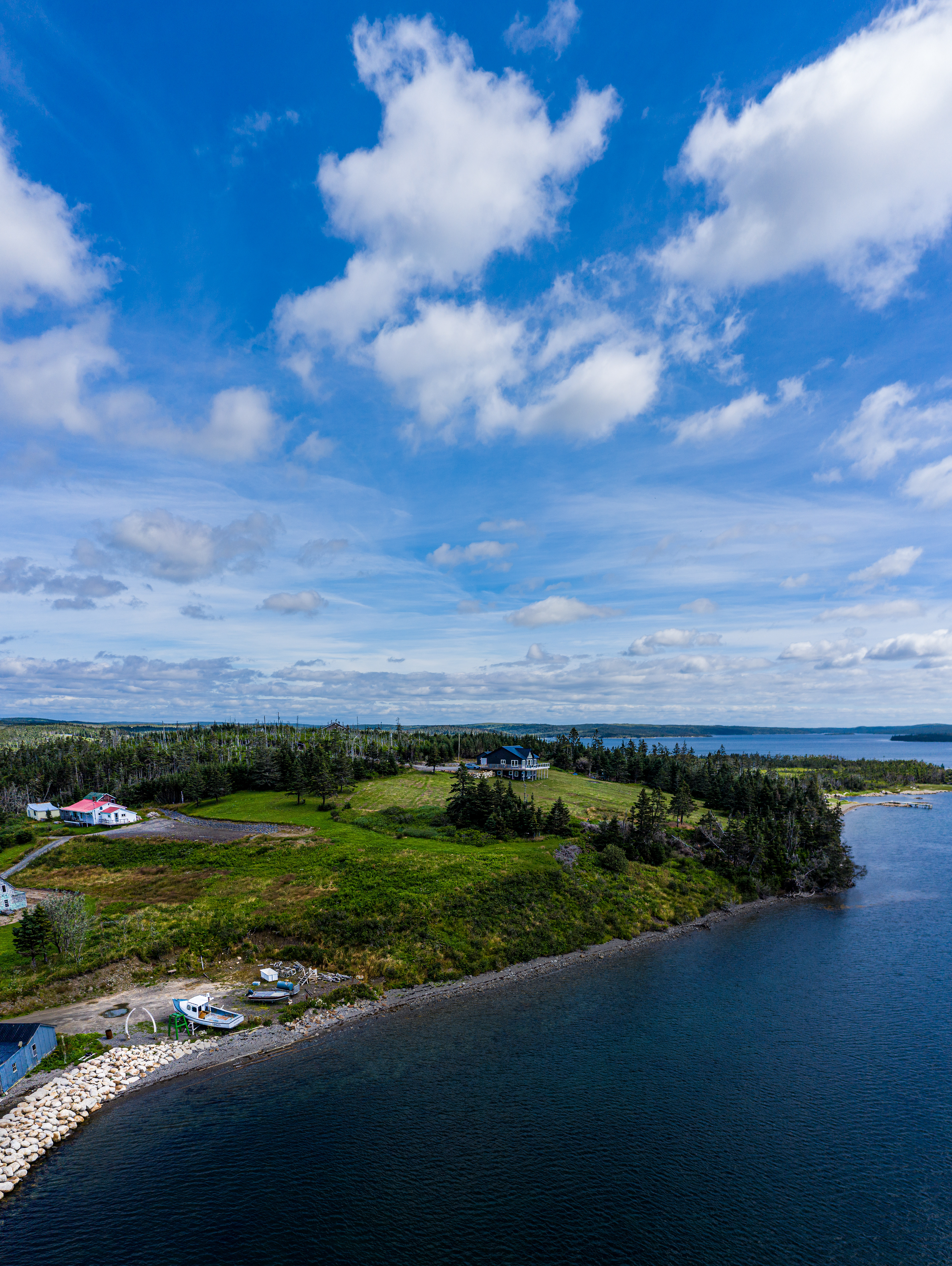
The next location was attempting to get inland to get both sides. What I later learned was with no vacant blank spaces of ocean stitching images went smoother. Notice the distorted stretching of land immediately under the drone. (507)
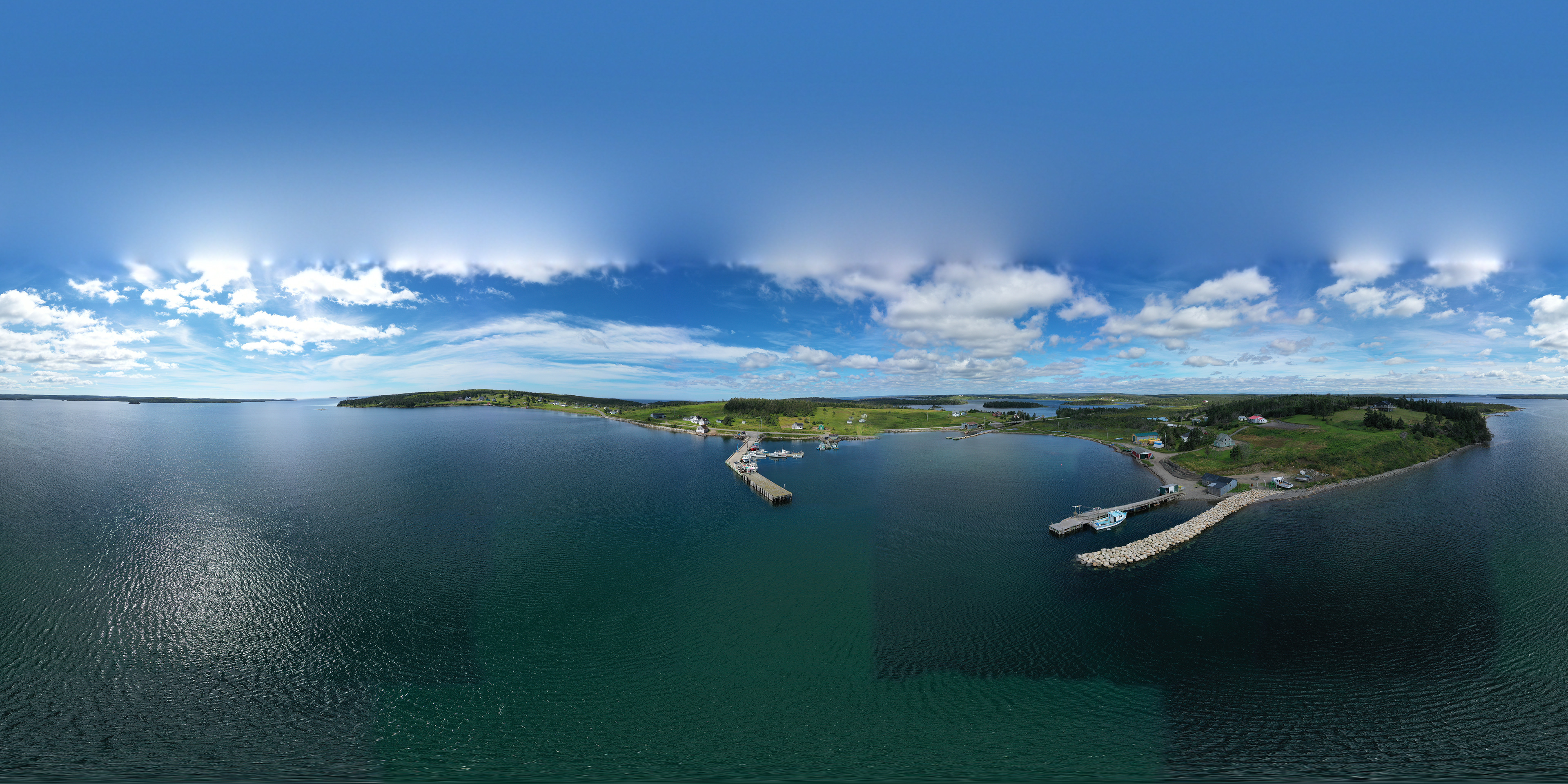
I learned a new step for putting images together. The twenty-six partial images are difficult to imagine and select for choosing a panorama. An intermediate step is to identify the vertical strips by making intermediate vertical panorama. The drone when it captures the images takes 3 or 4 images vertically then rotates to capture the next vertical. Marked by doing the temporary verticals allowed for the next stage of selecting two or three vertical strips for a larger panorama much easier.
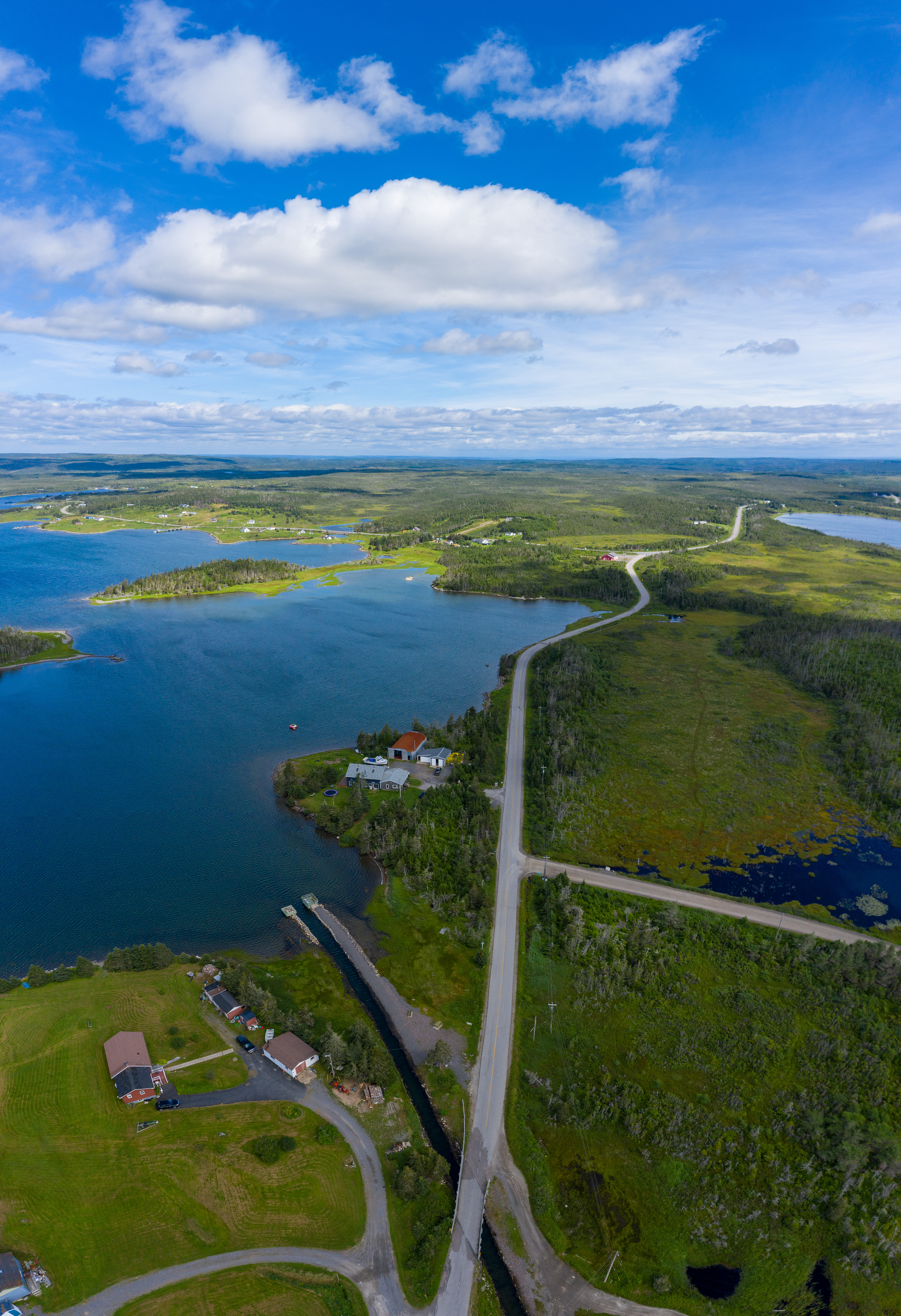
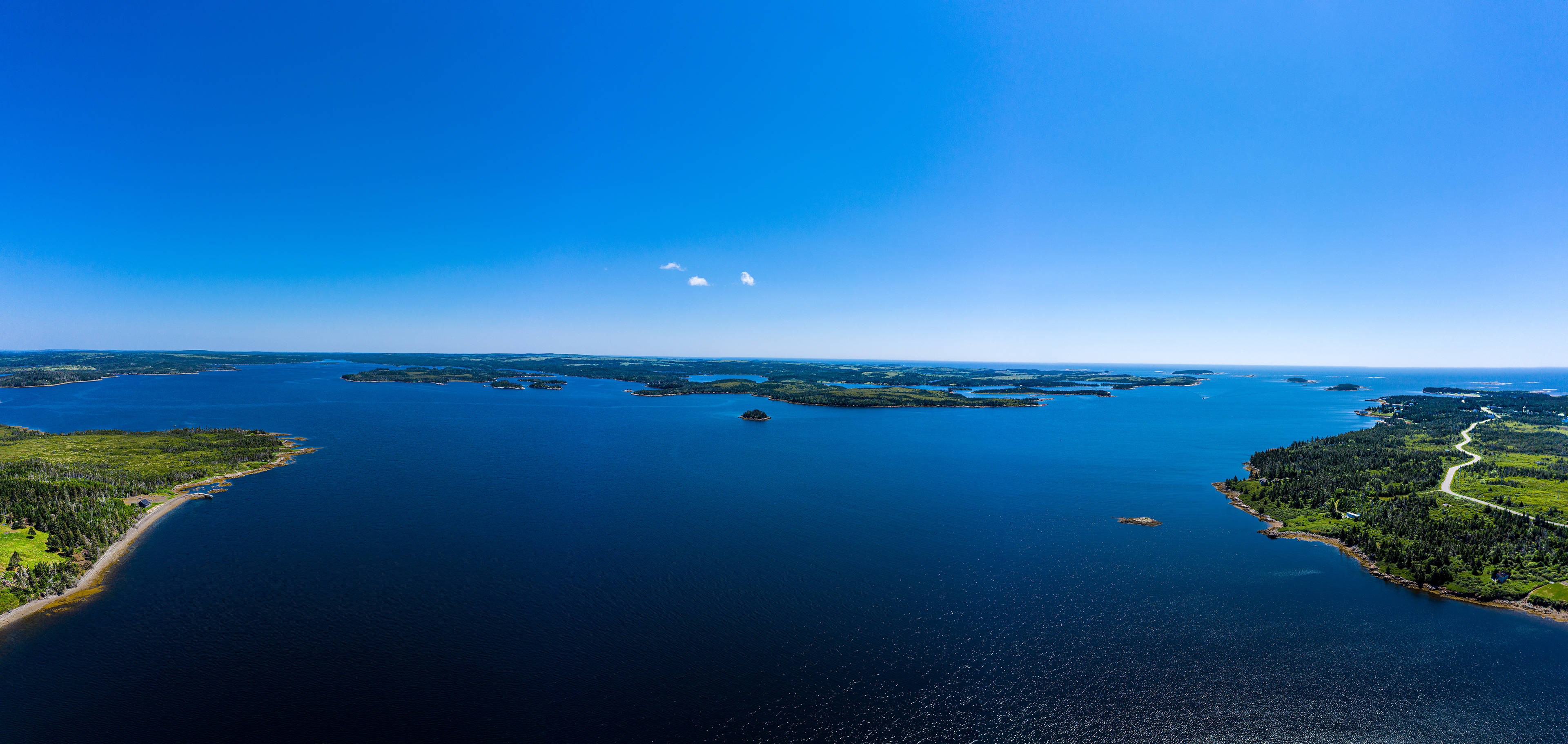
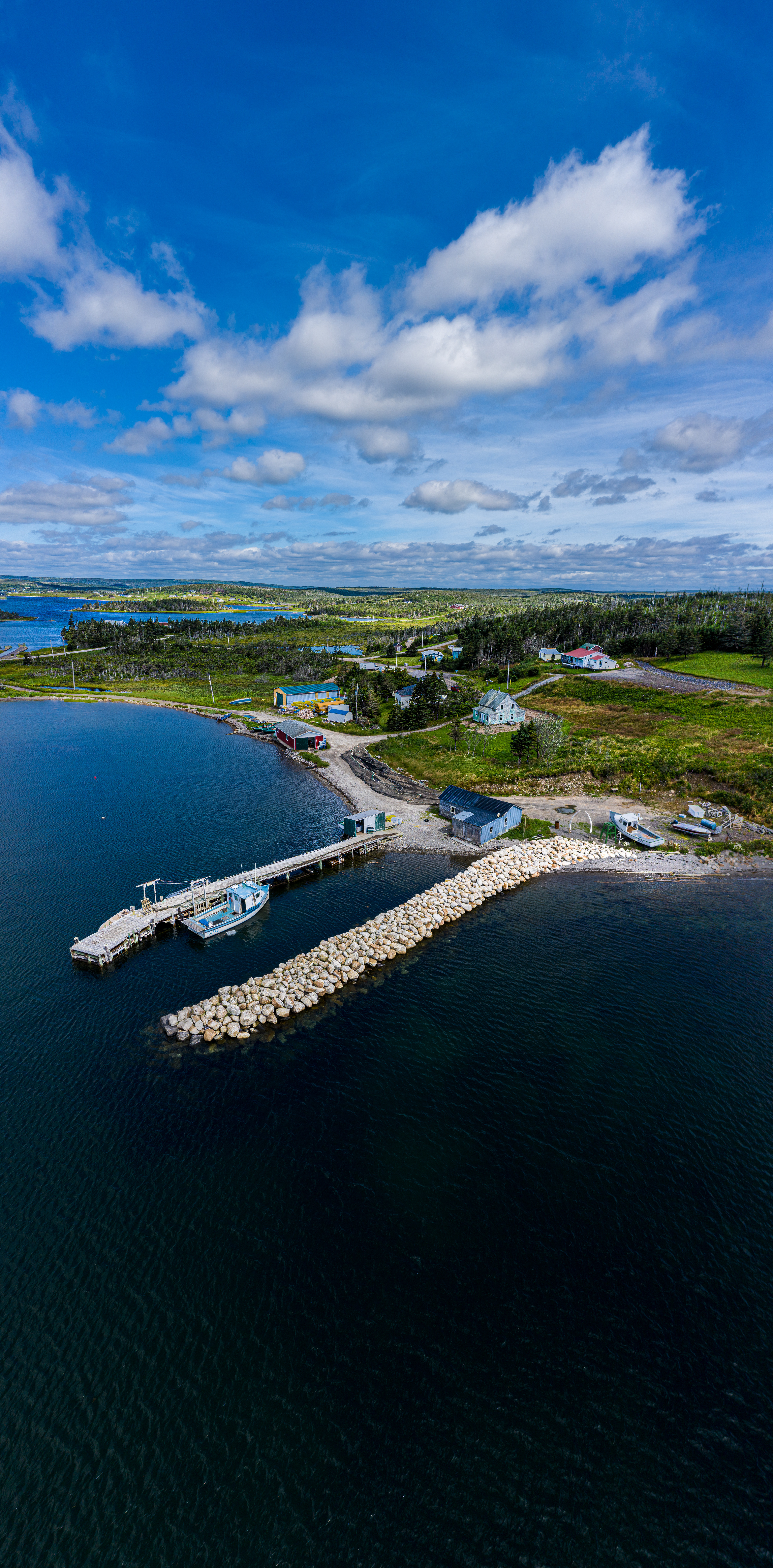
The next step was a bit of a stretch for I had to go out over the ocean almost 307.9 meters offshore (508).
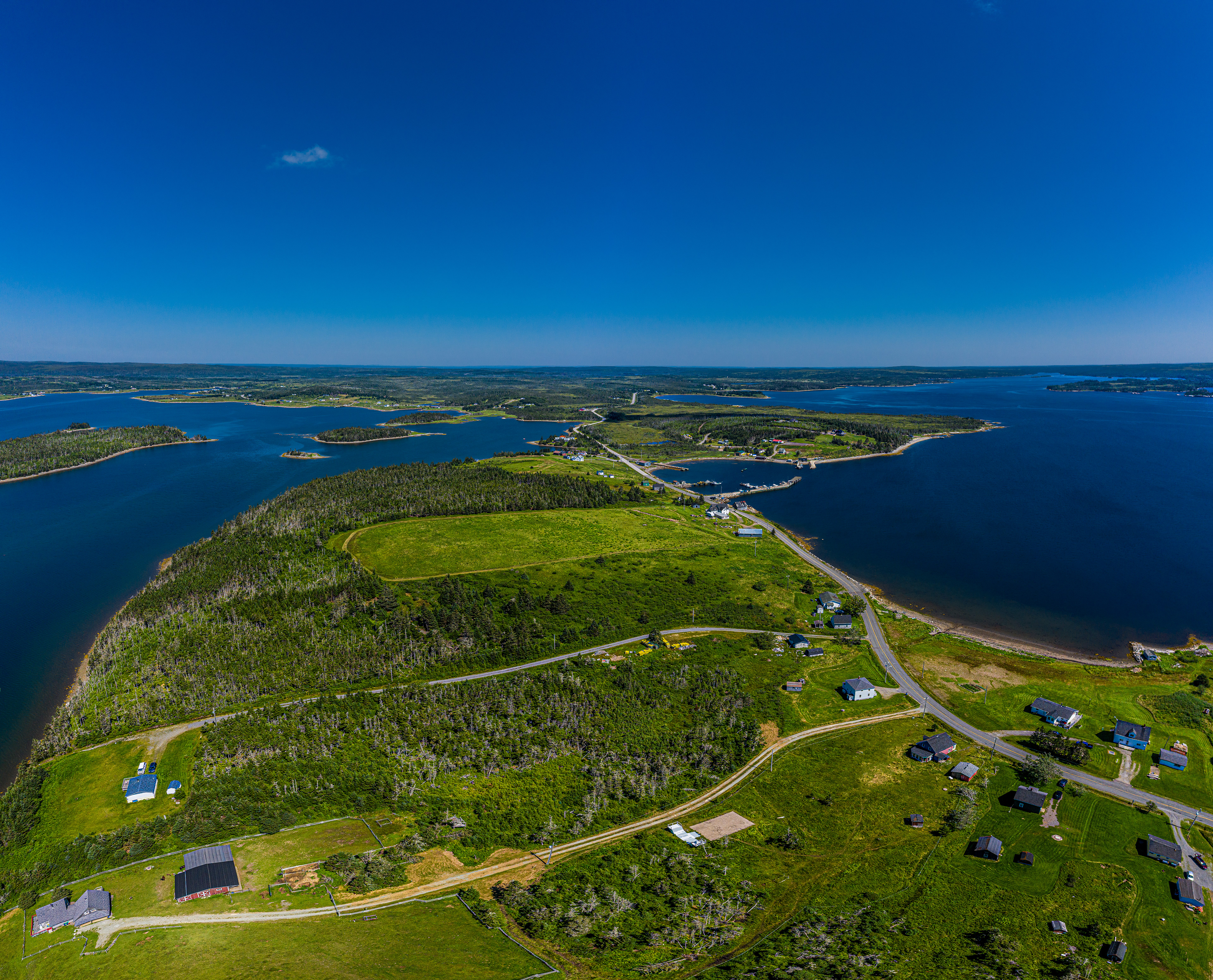
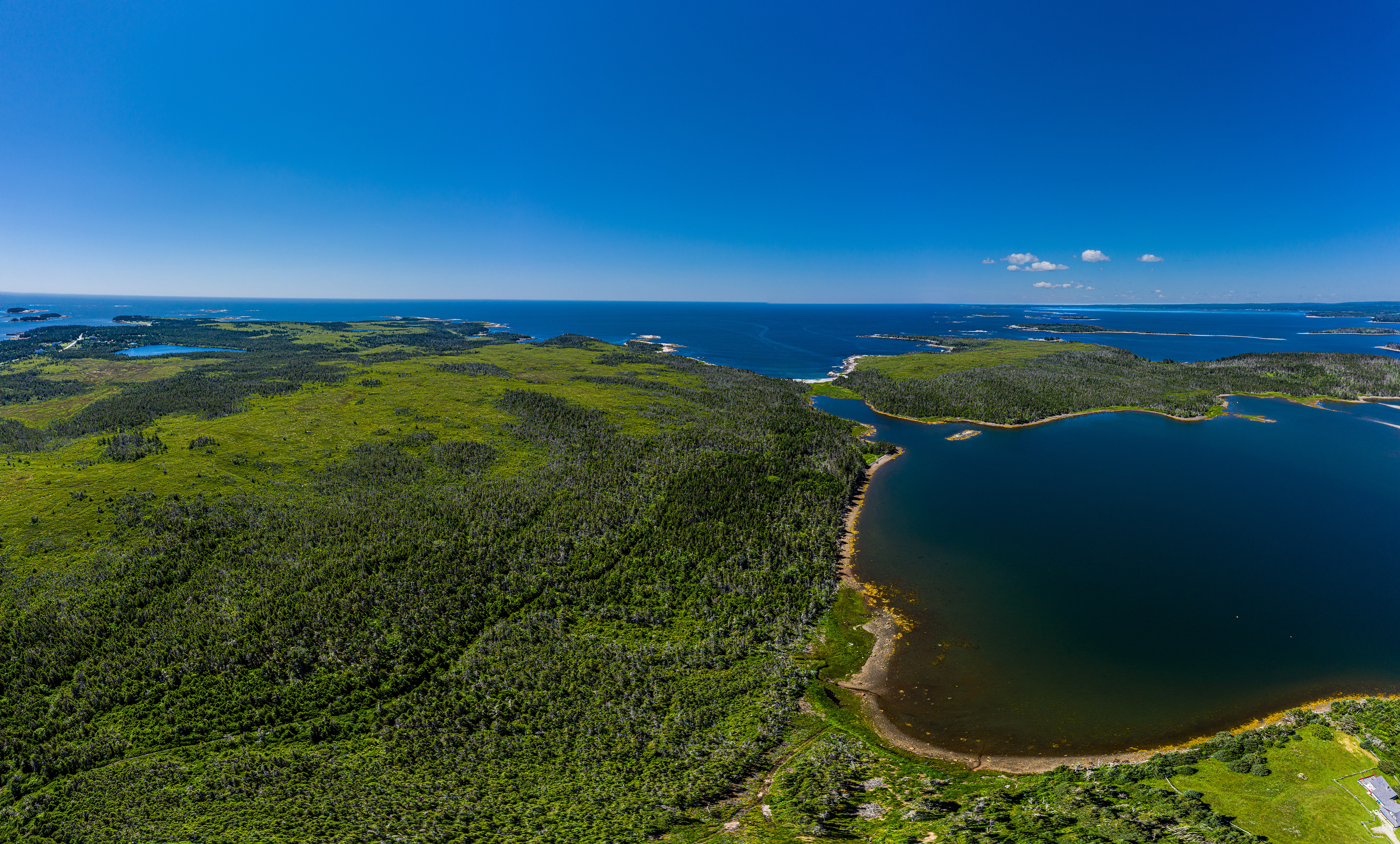
And the selections.
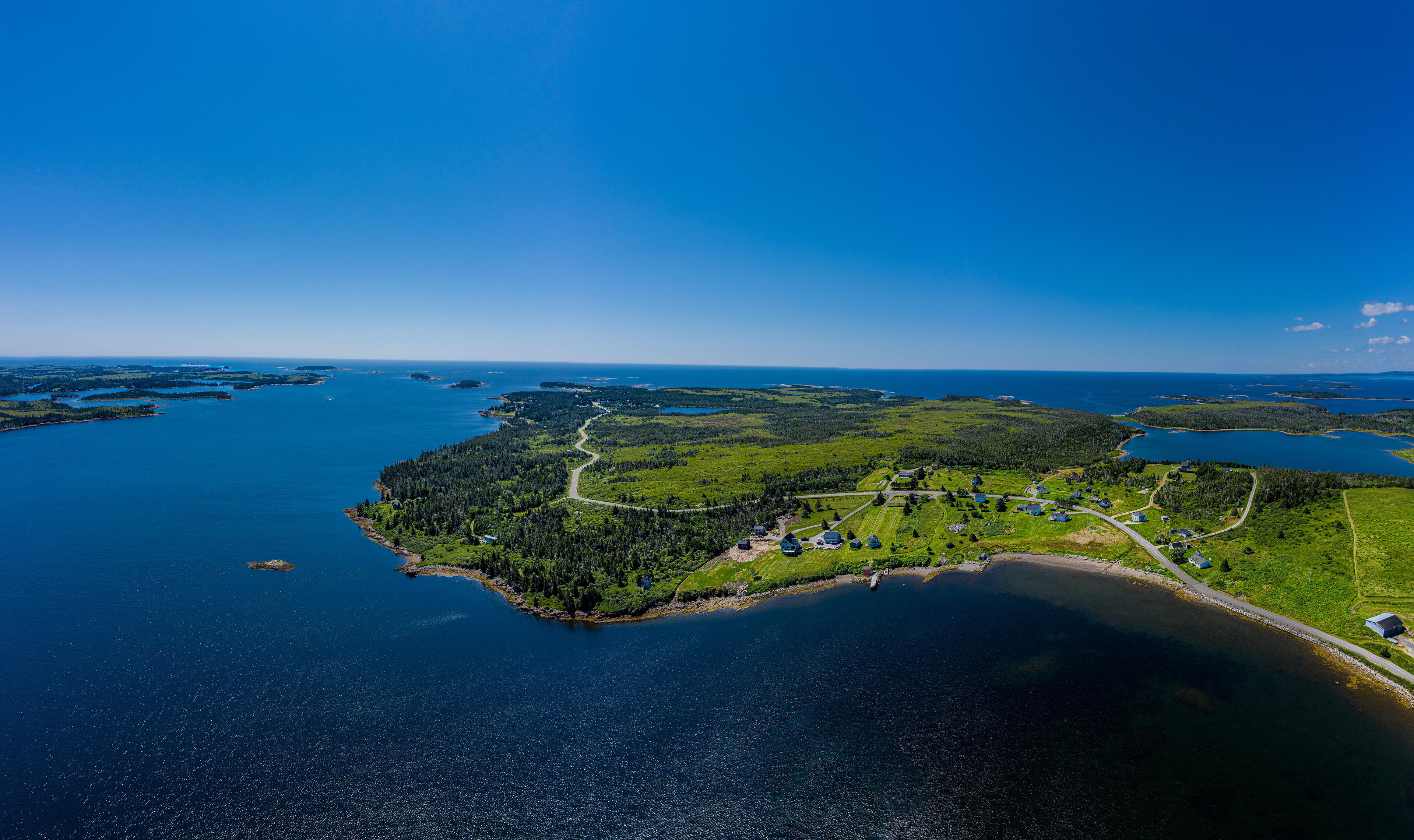

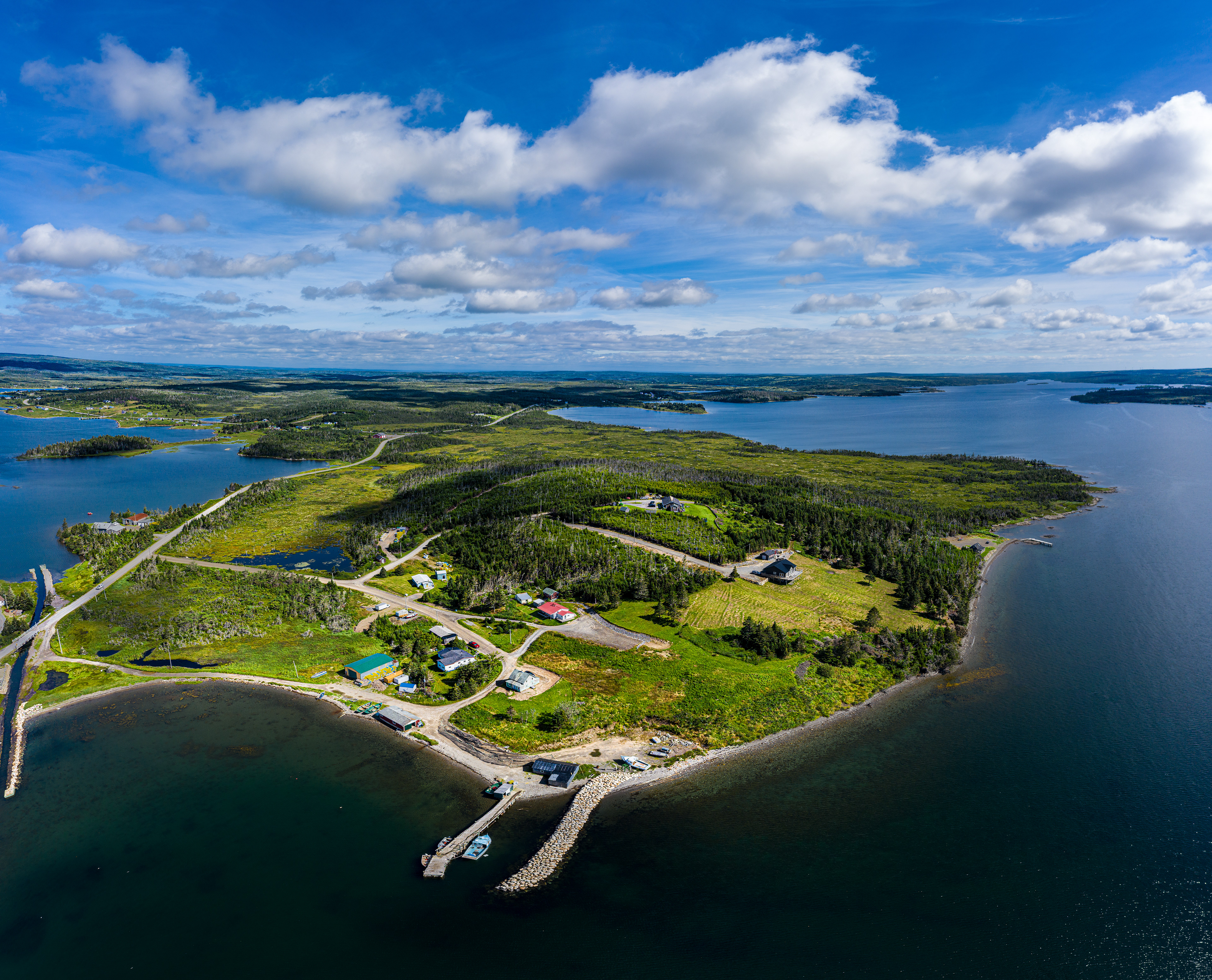
The next location I reduced the height considerably. Notice the distortions. (520)

Next location, much experimentation. (521)
Next location was 353.5 meters offshore. (522)
Next location much lower but still a 360 panorama. (523)
And the generated panoramas.
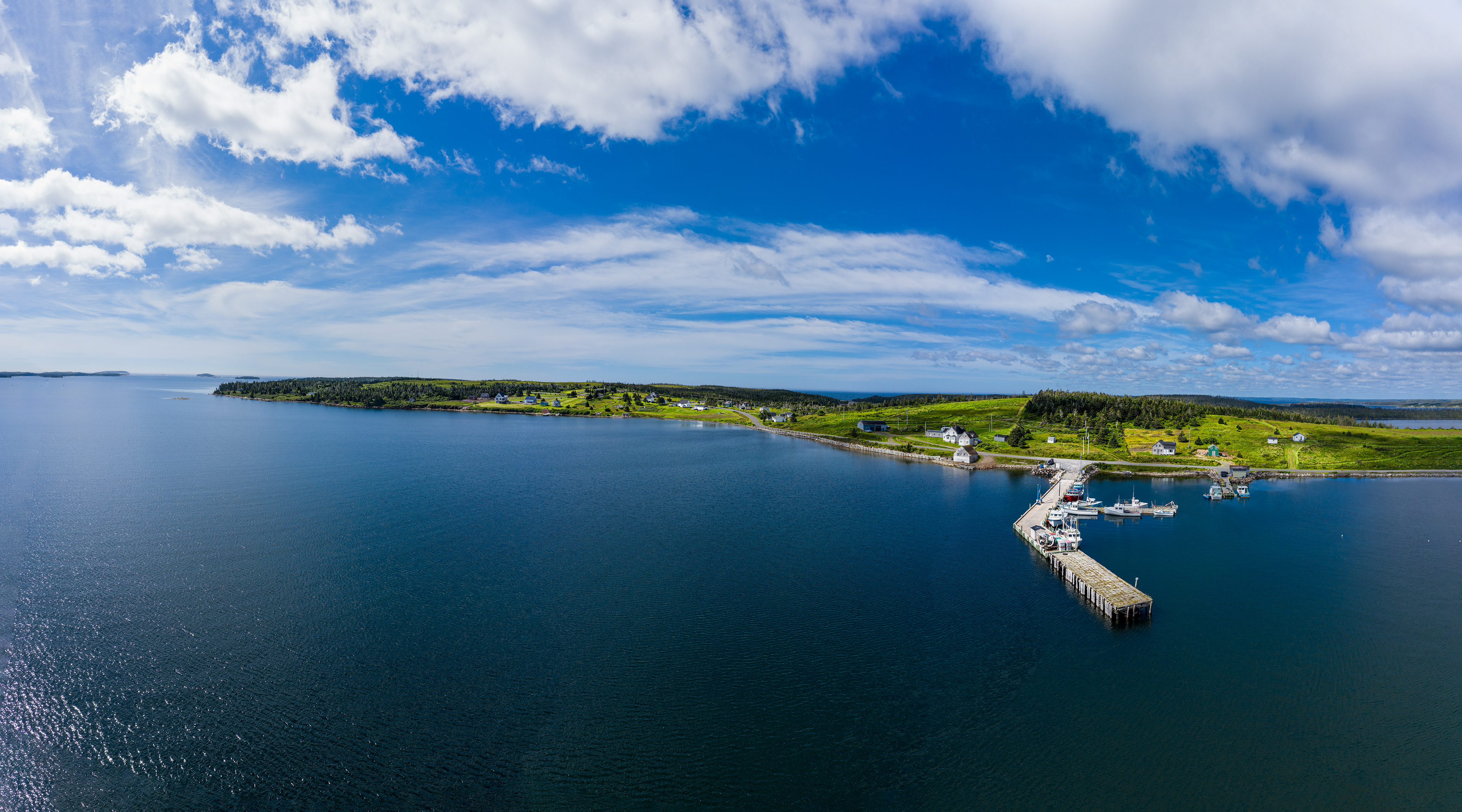
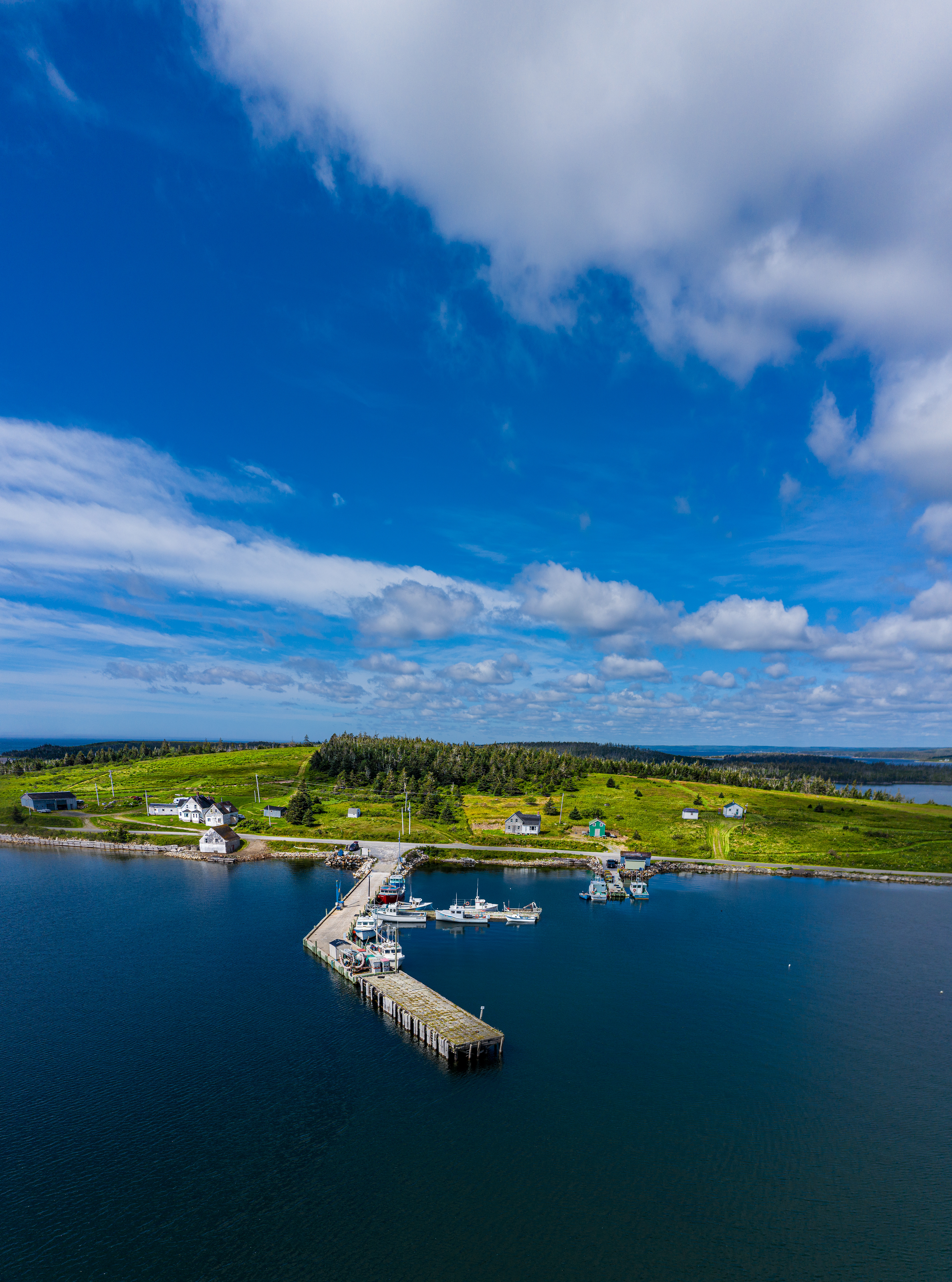
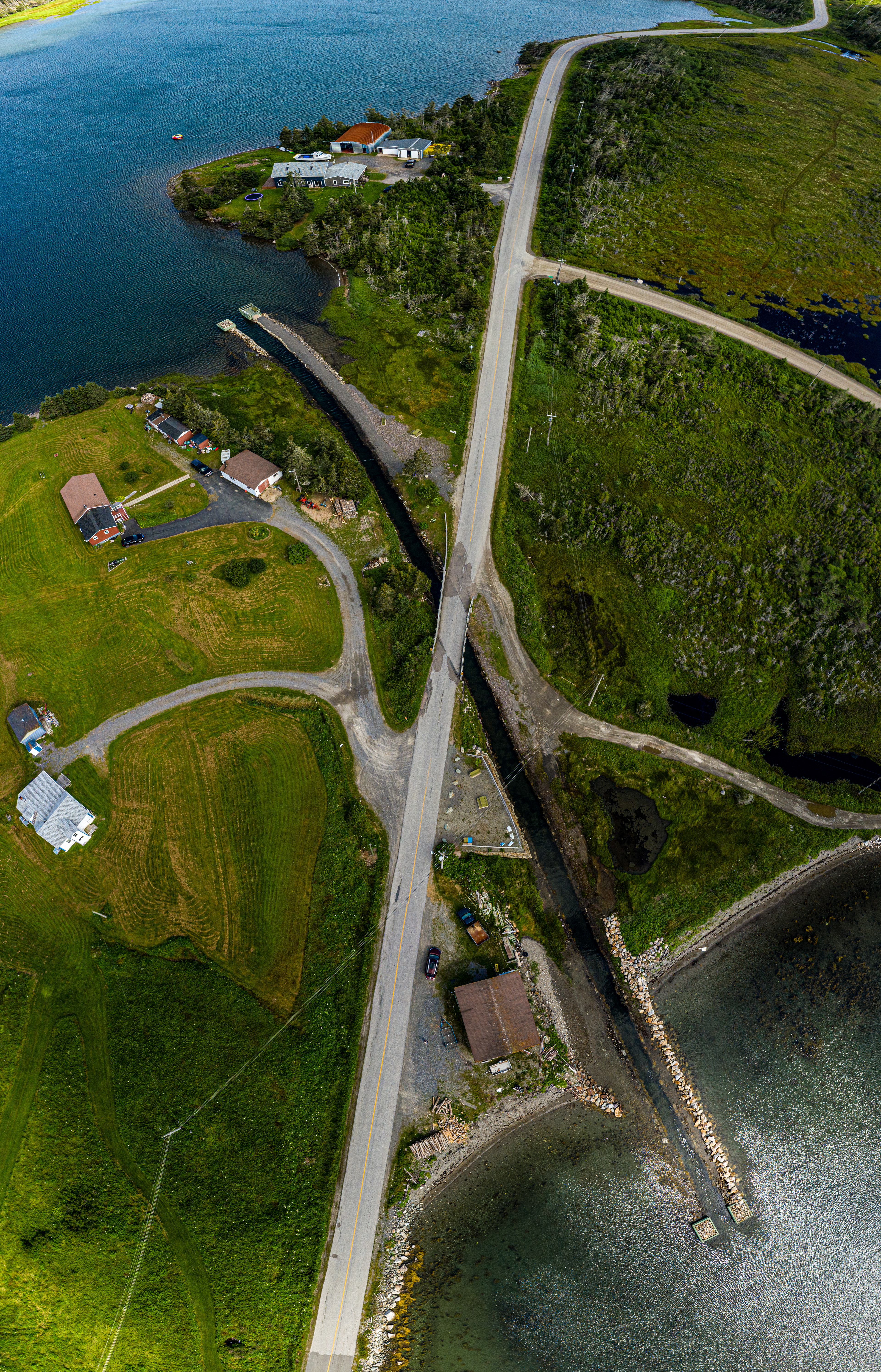
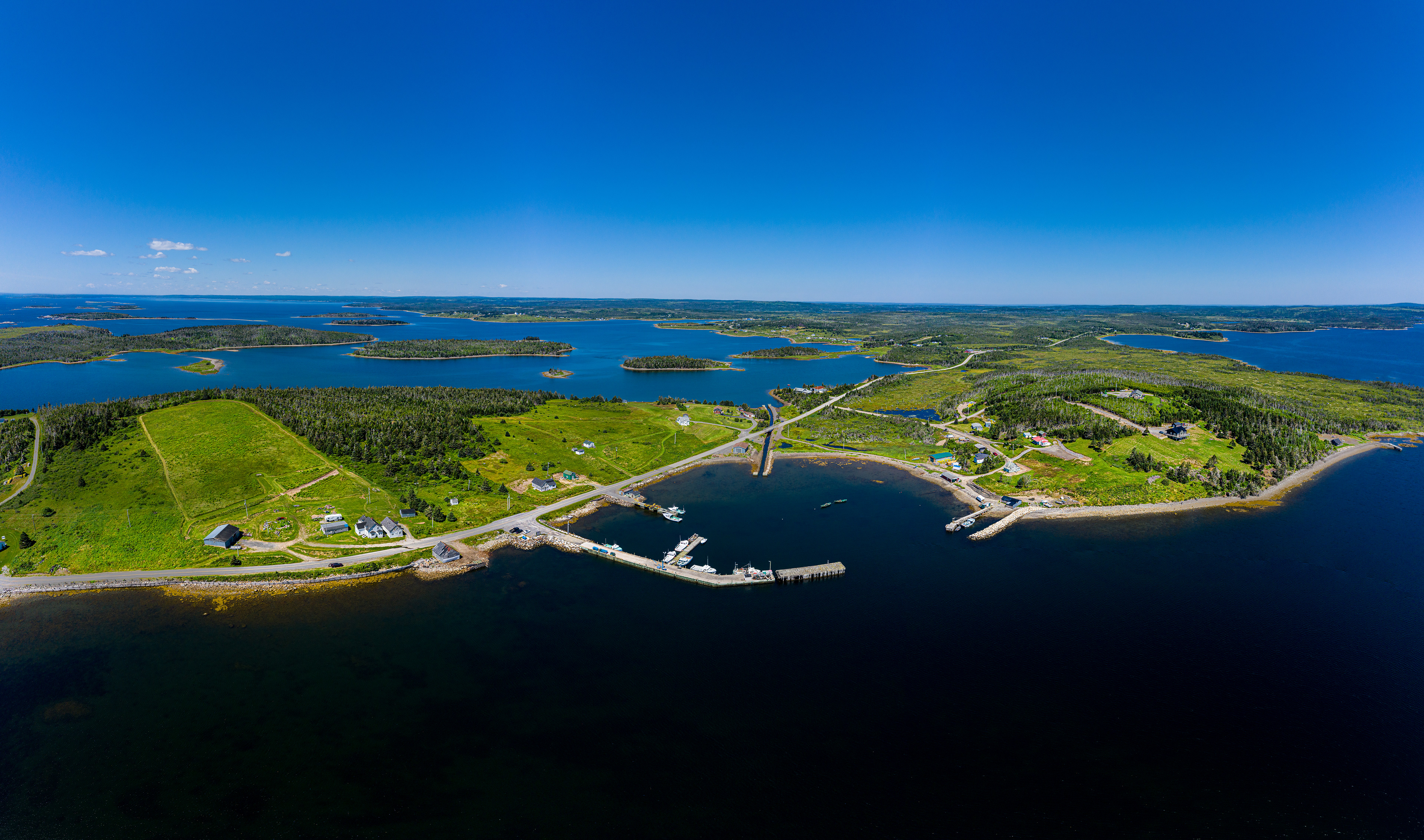
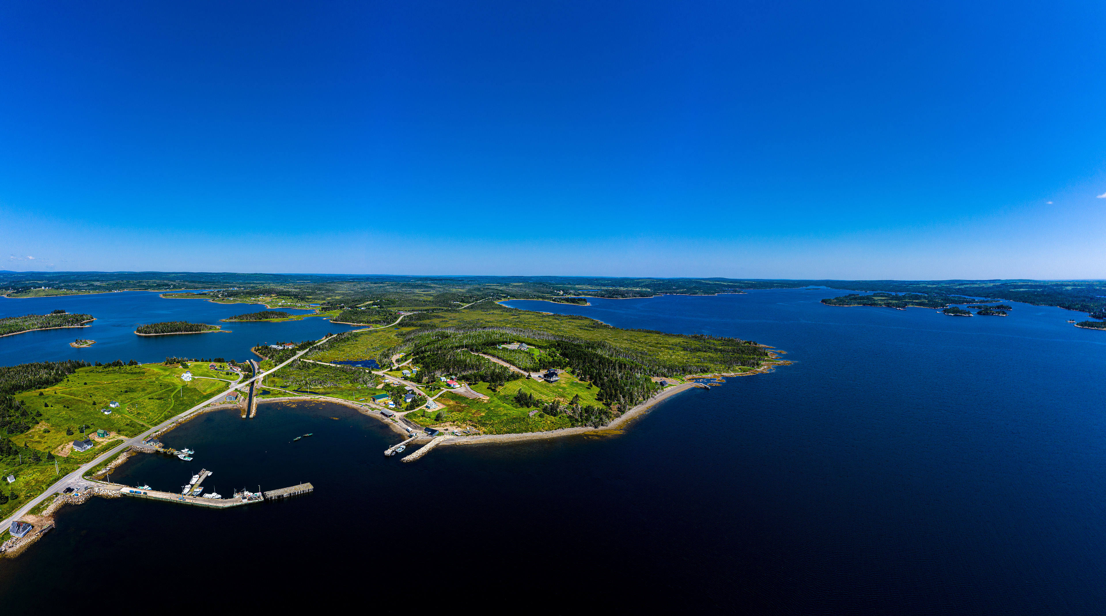
The last stop I had to get was the famous Whitehead Haulover, a small man made canal to move small boats from one side of the peninsula the other. (523)
The created images. Notice the canal in some images has been curved.