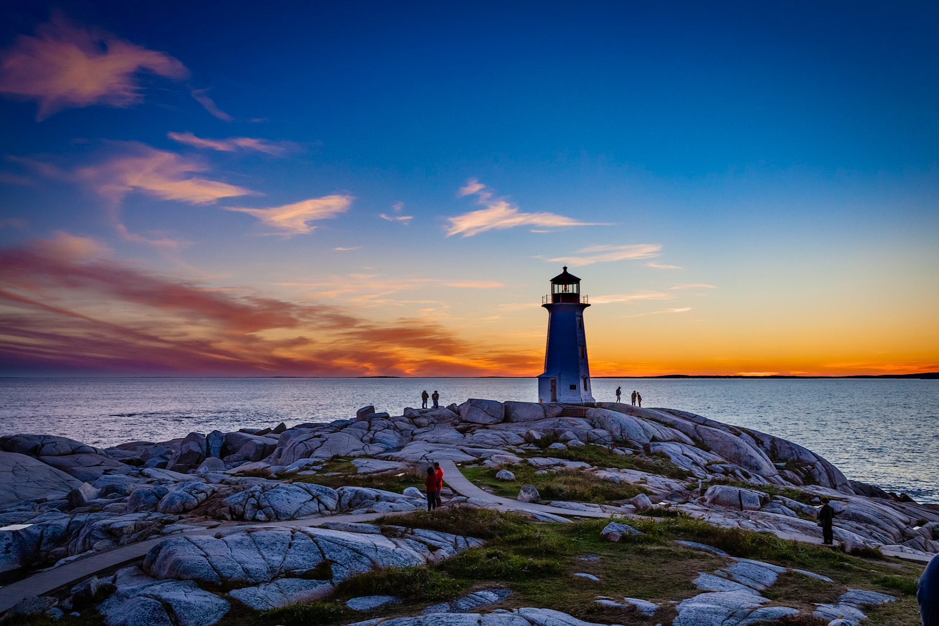
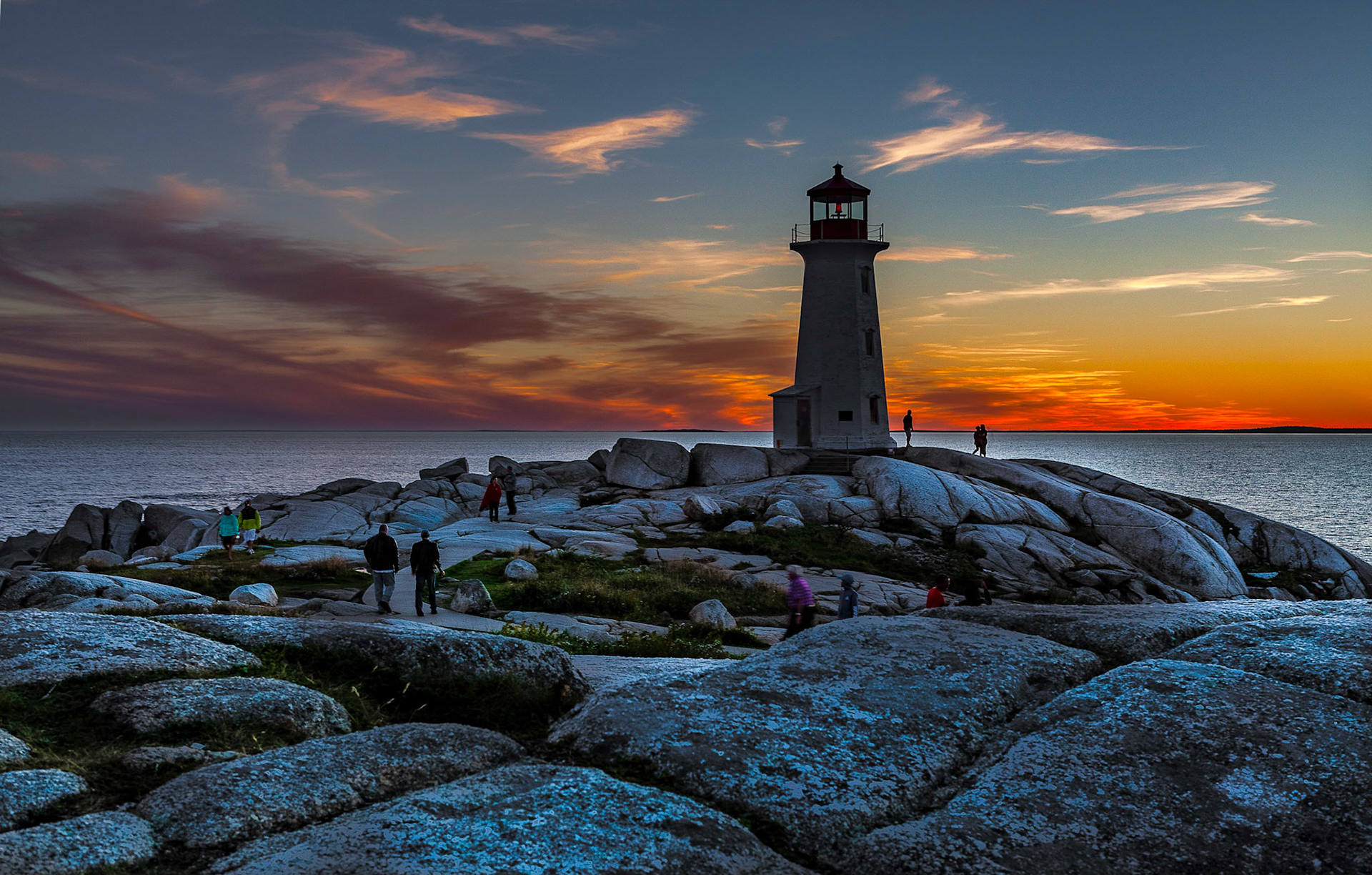
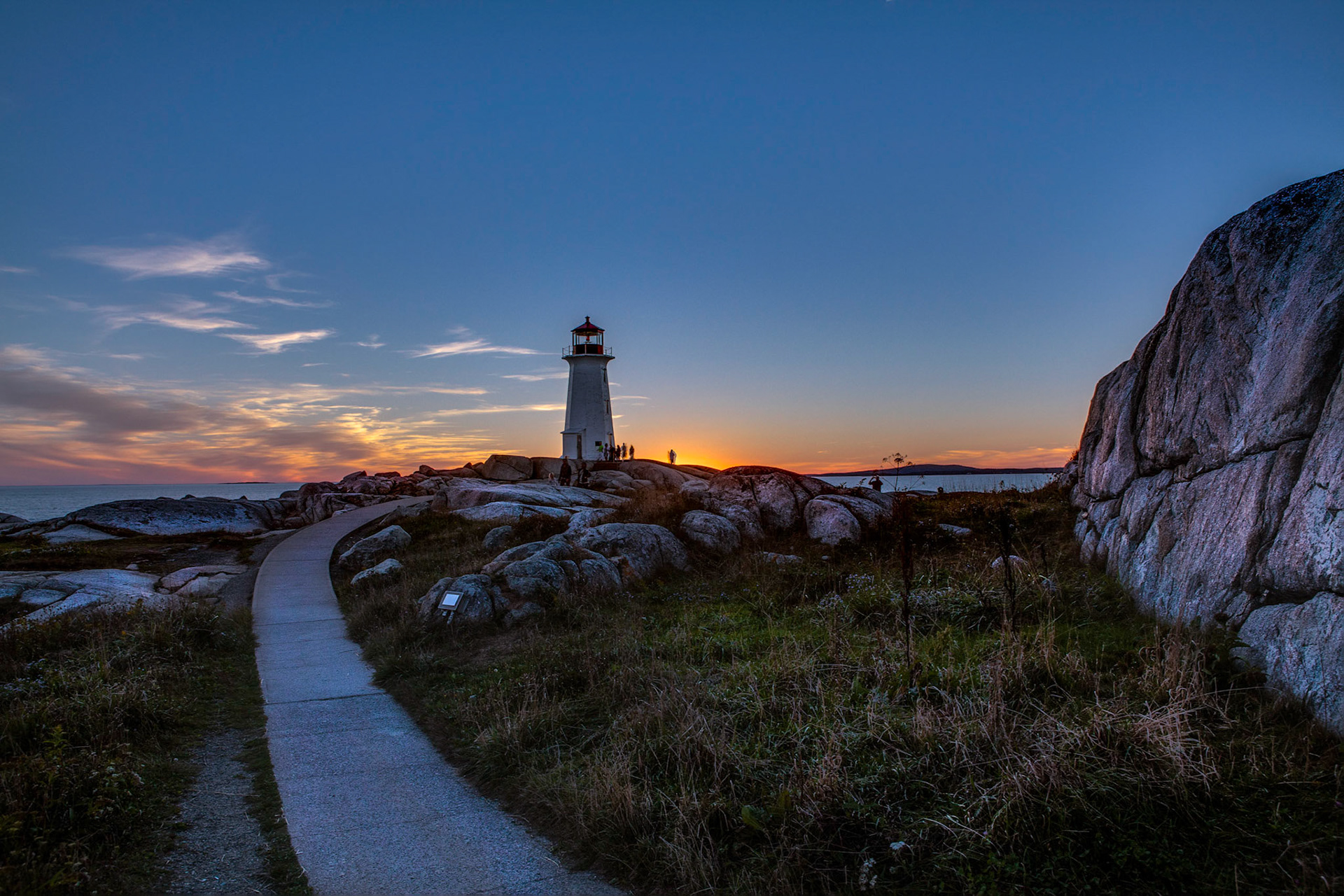
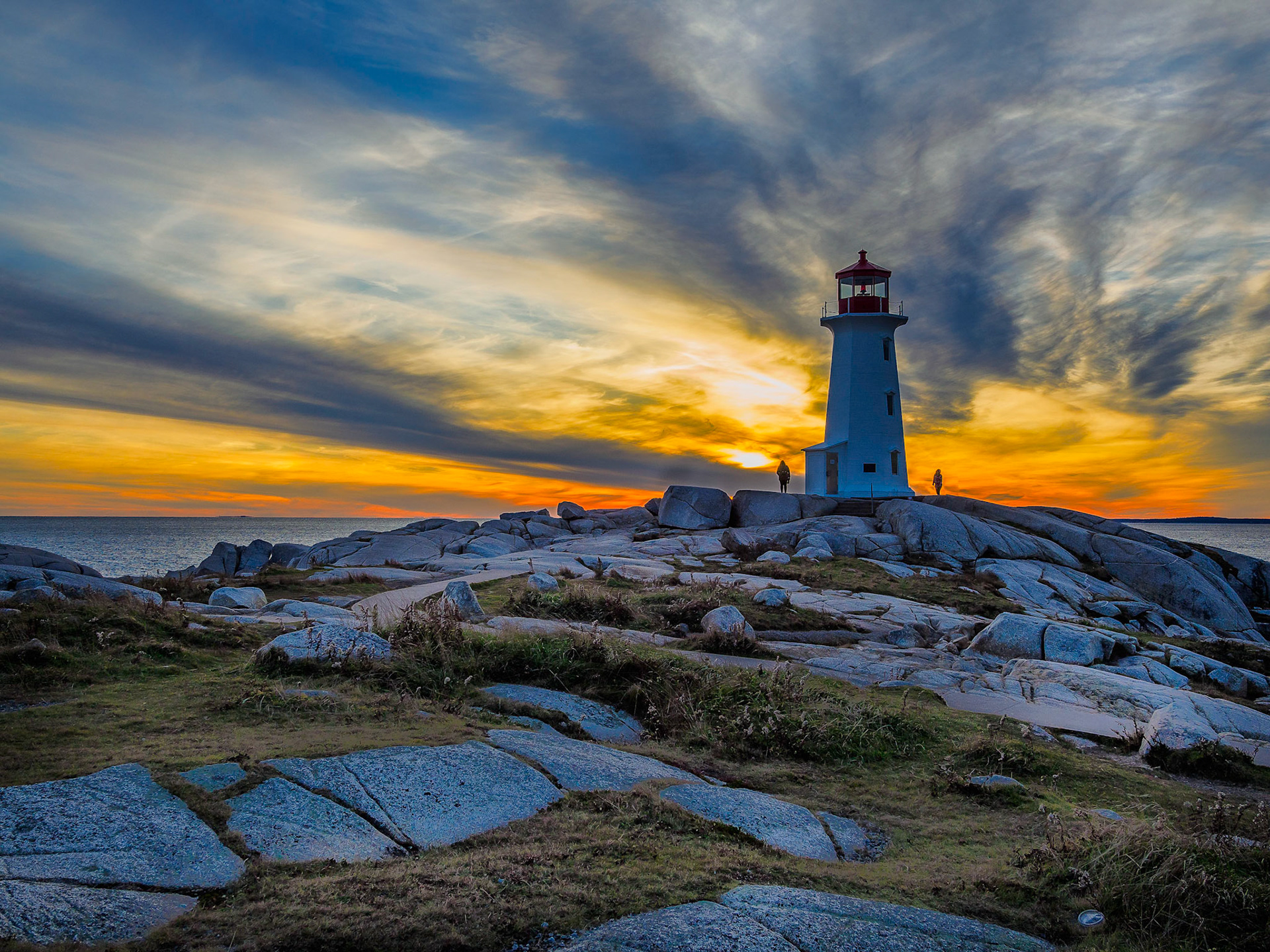
Peggys Cove
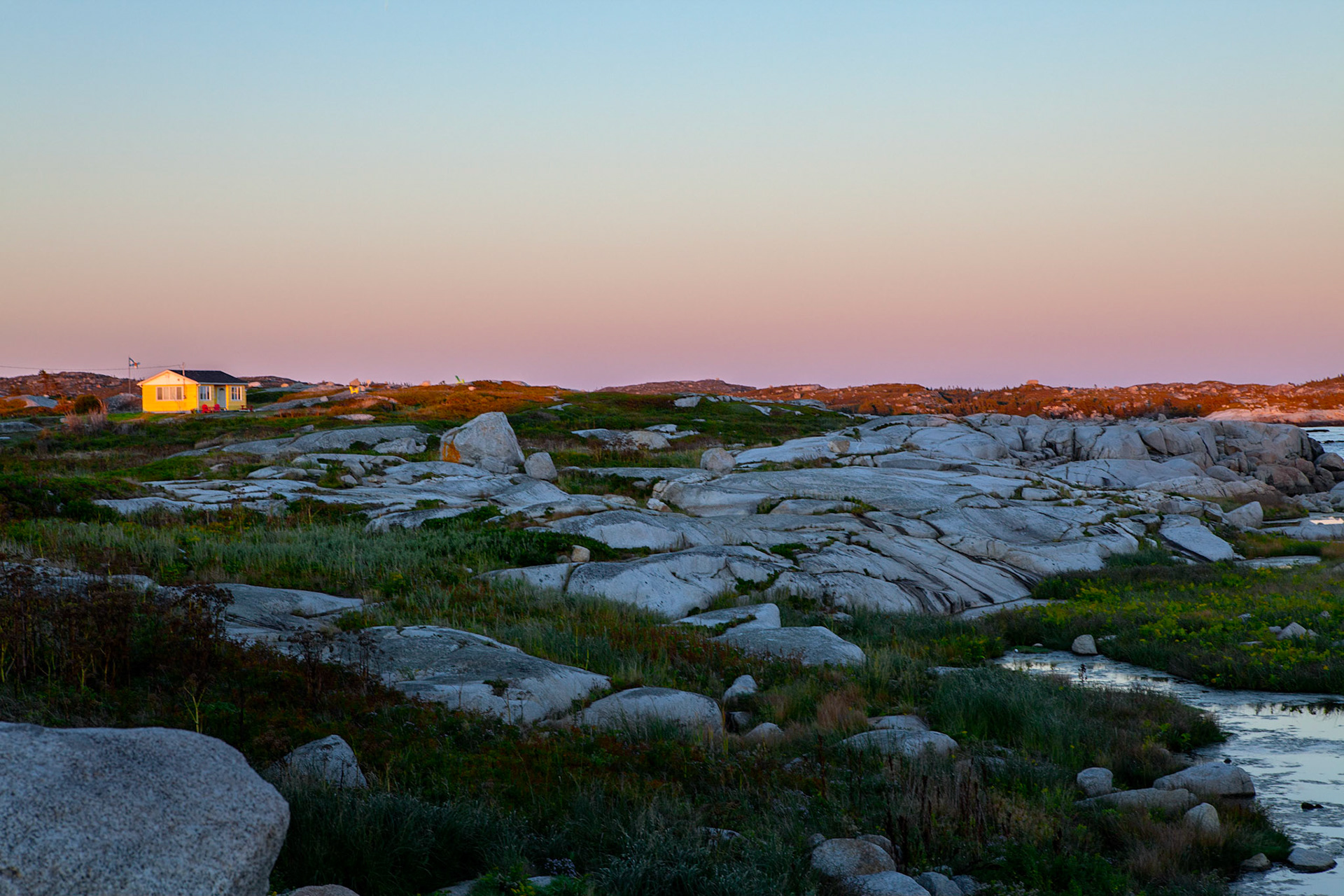
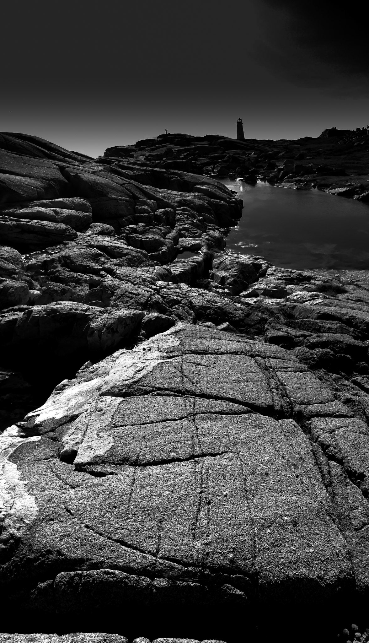
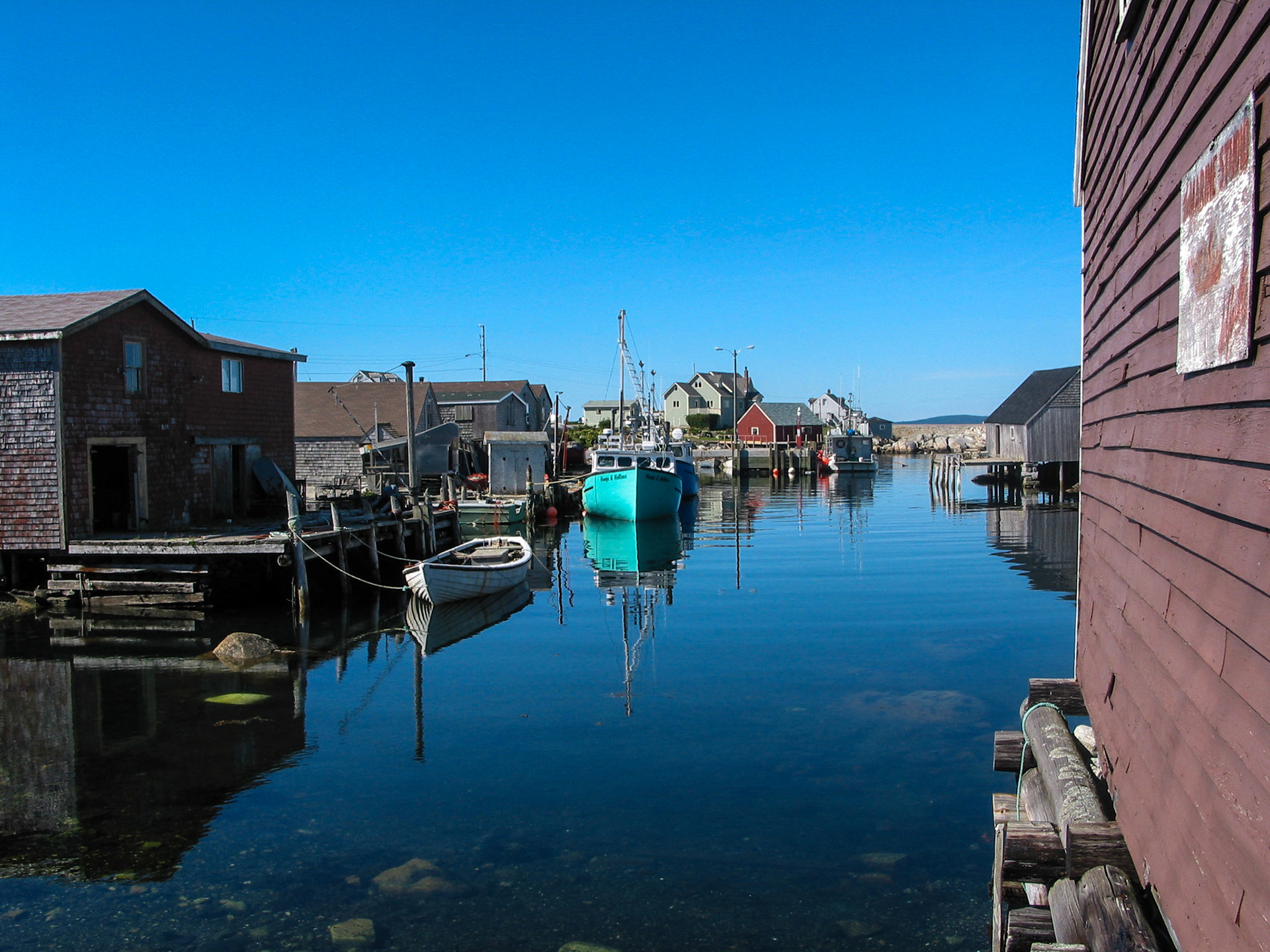
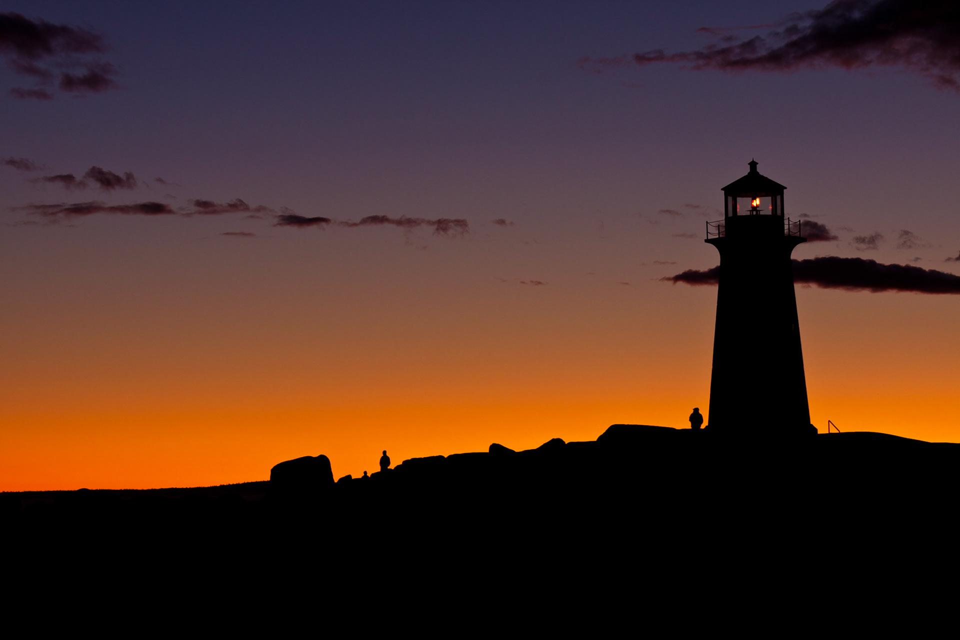
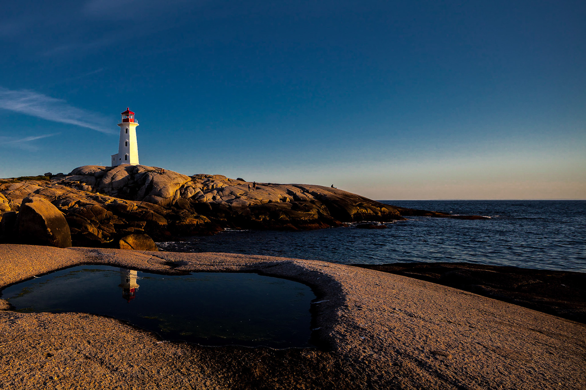
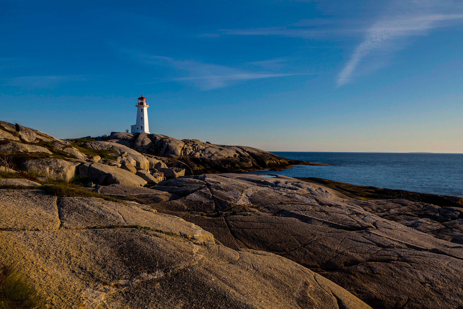
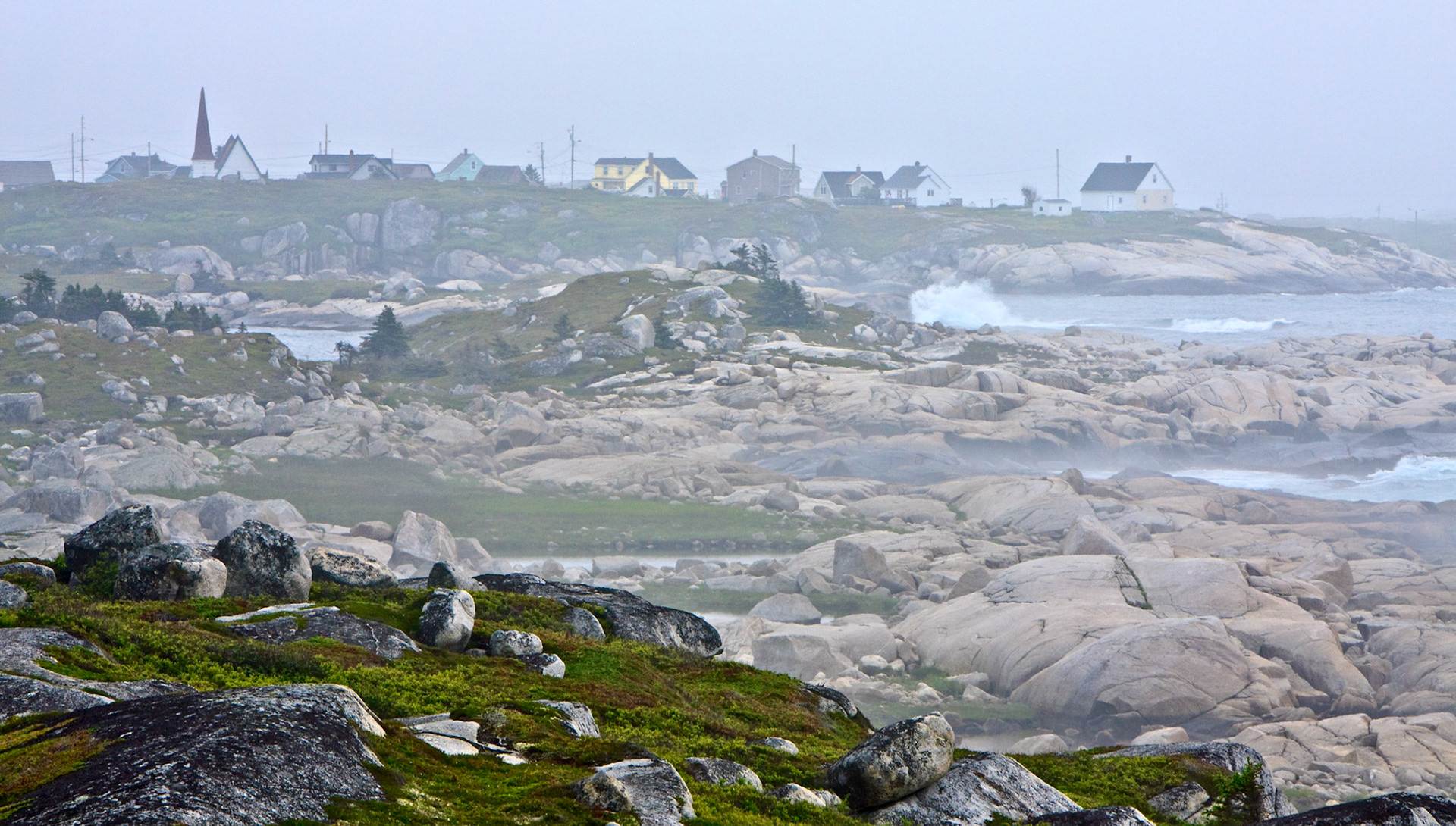
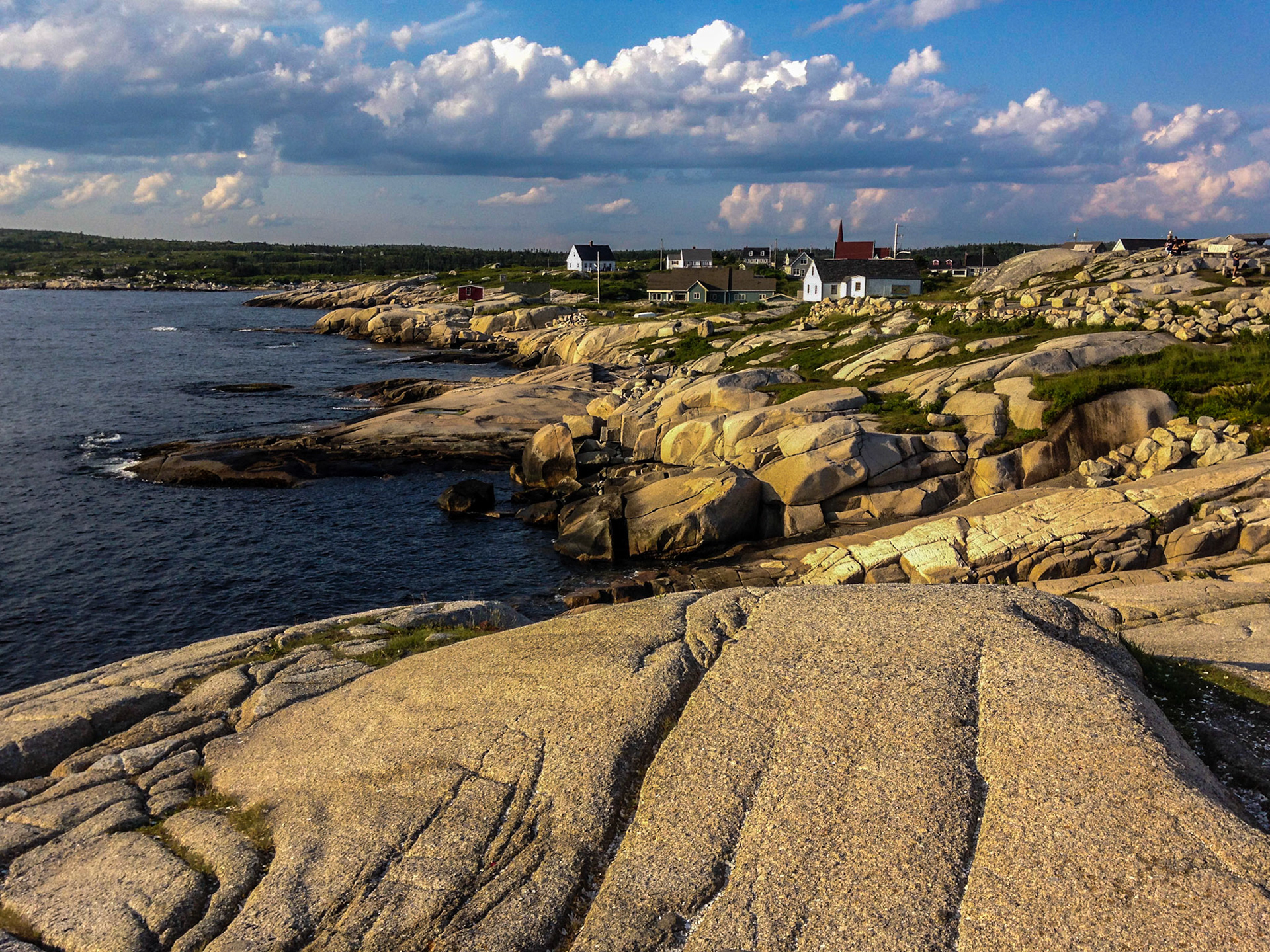
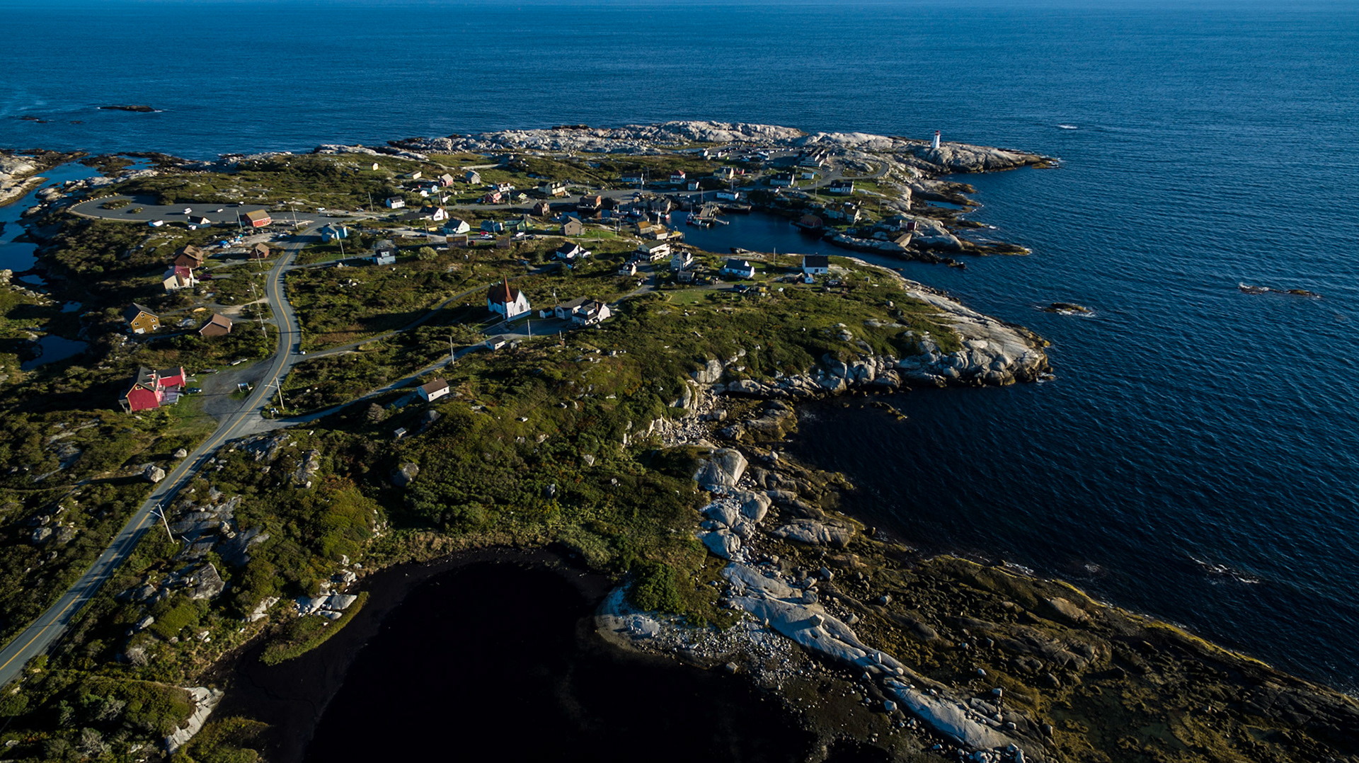
Peggys Cove is an iconic tourist site attracting photographers from all over. For me it is not just the lighthouse but the wonder of the land formation around the entire area of located on the eastern shore of St. Margarets Bay in Nova Scotia's Halifax Regional Municipality.
I quote here
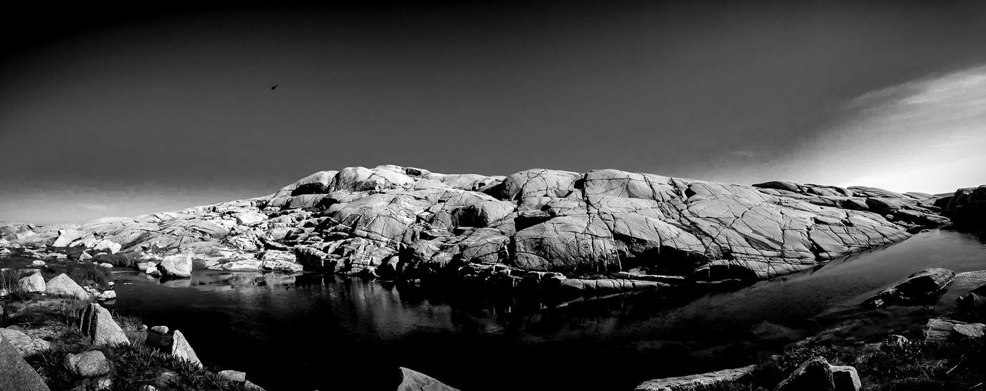
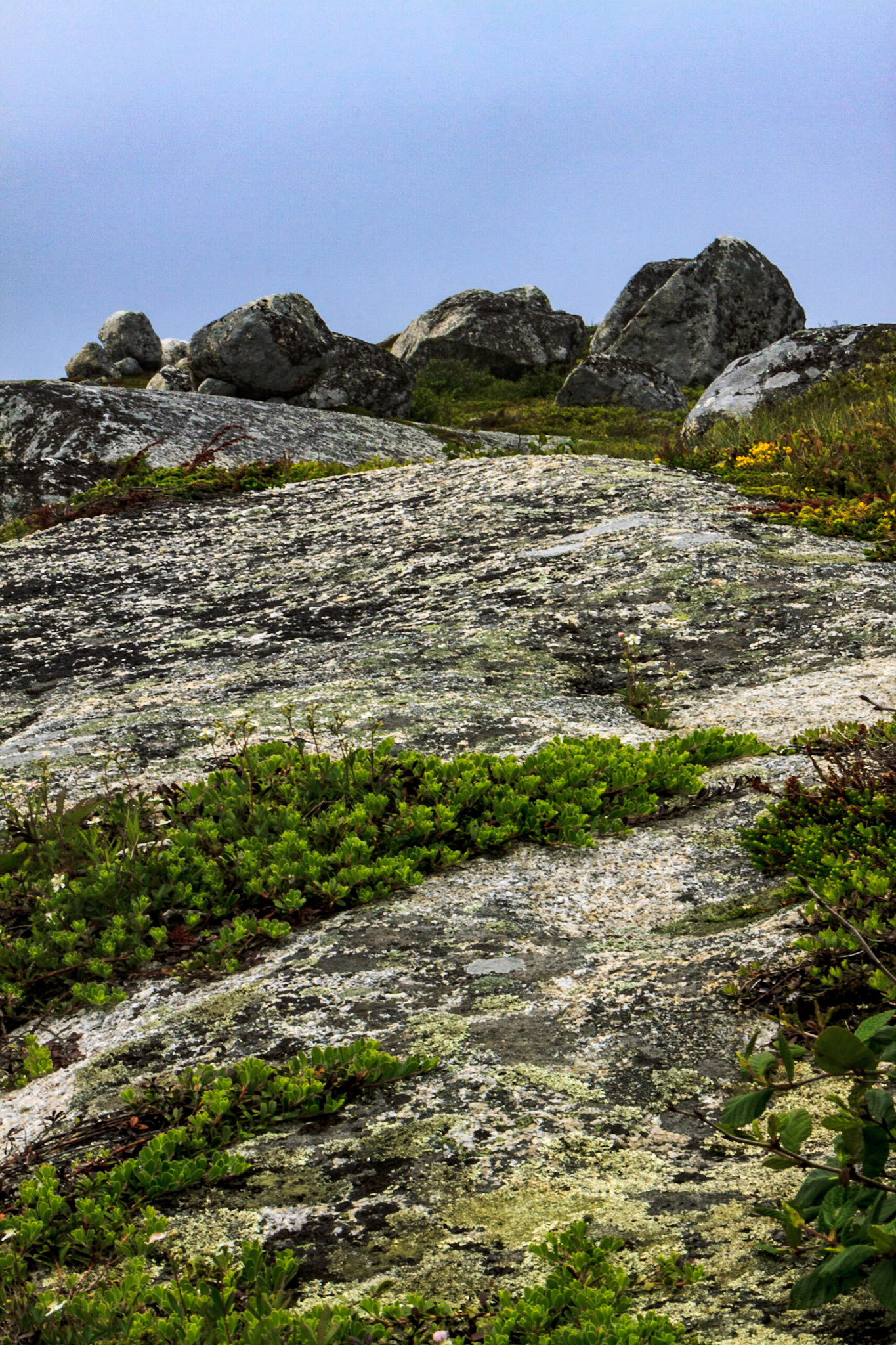
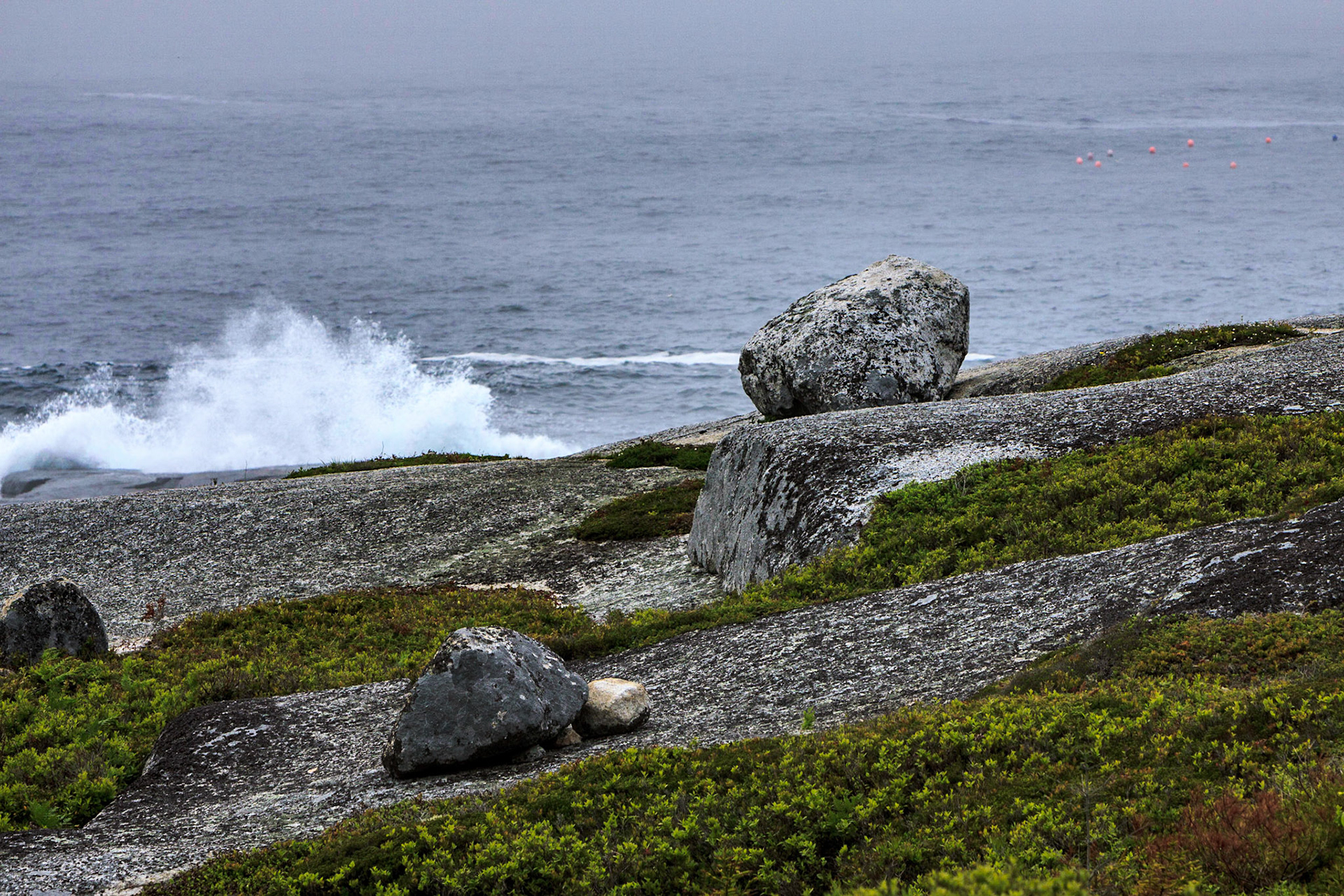
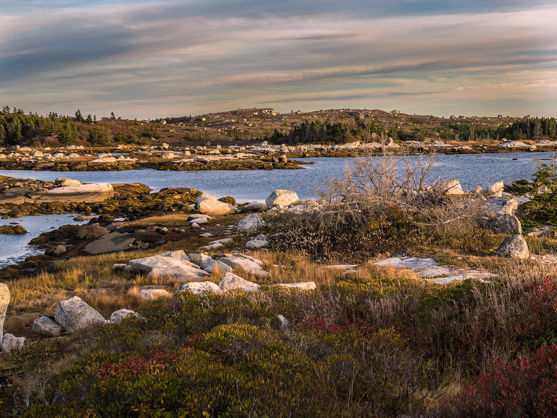
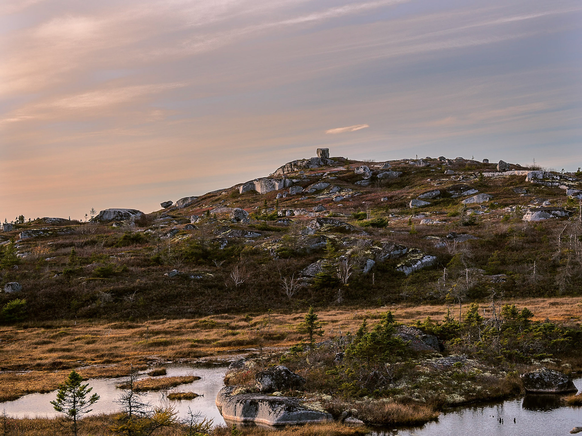
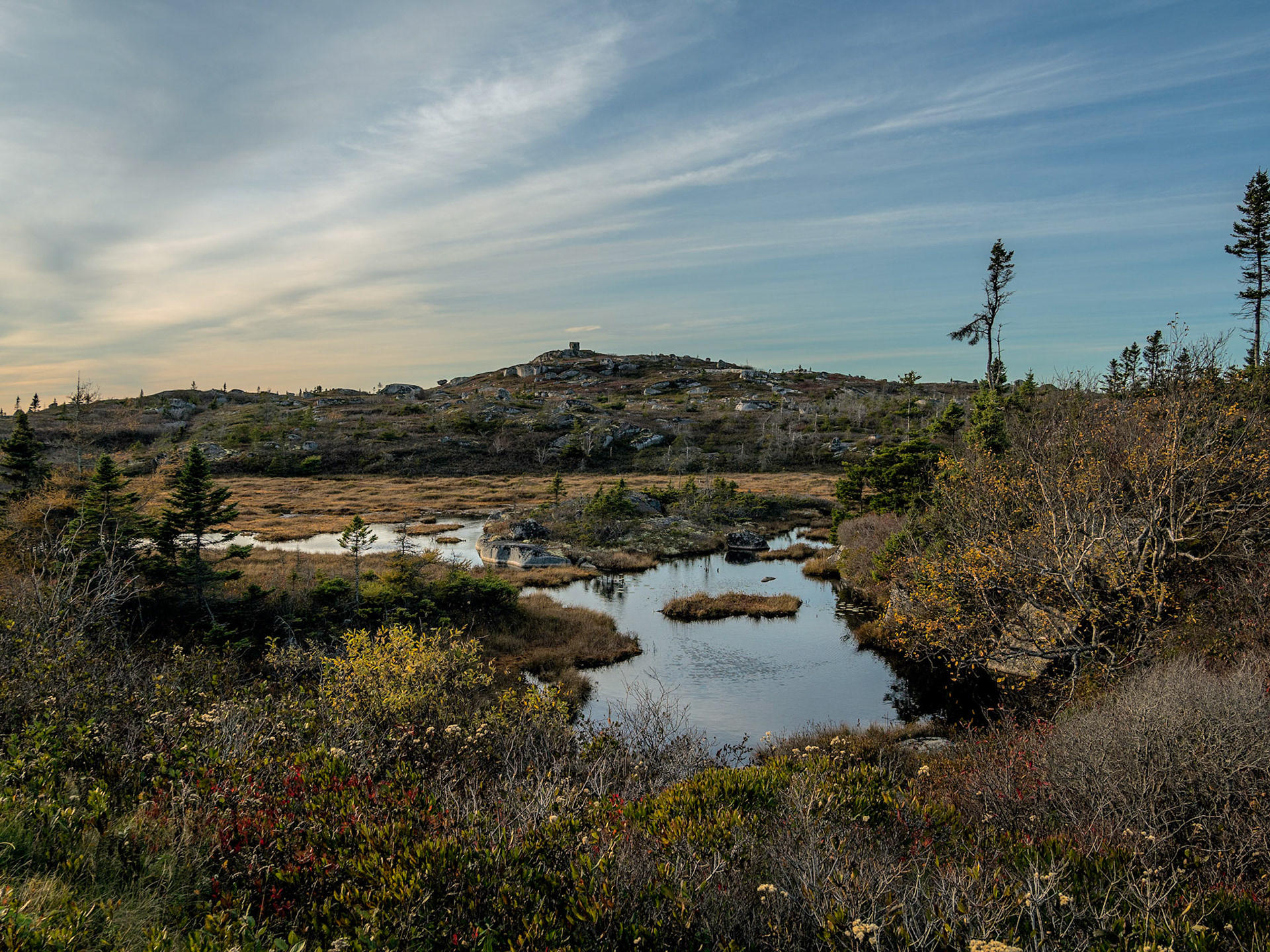
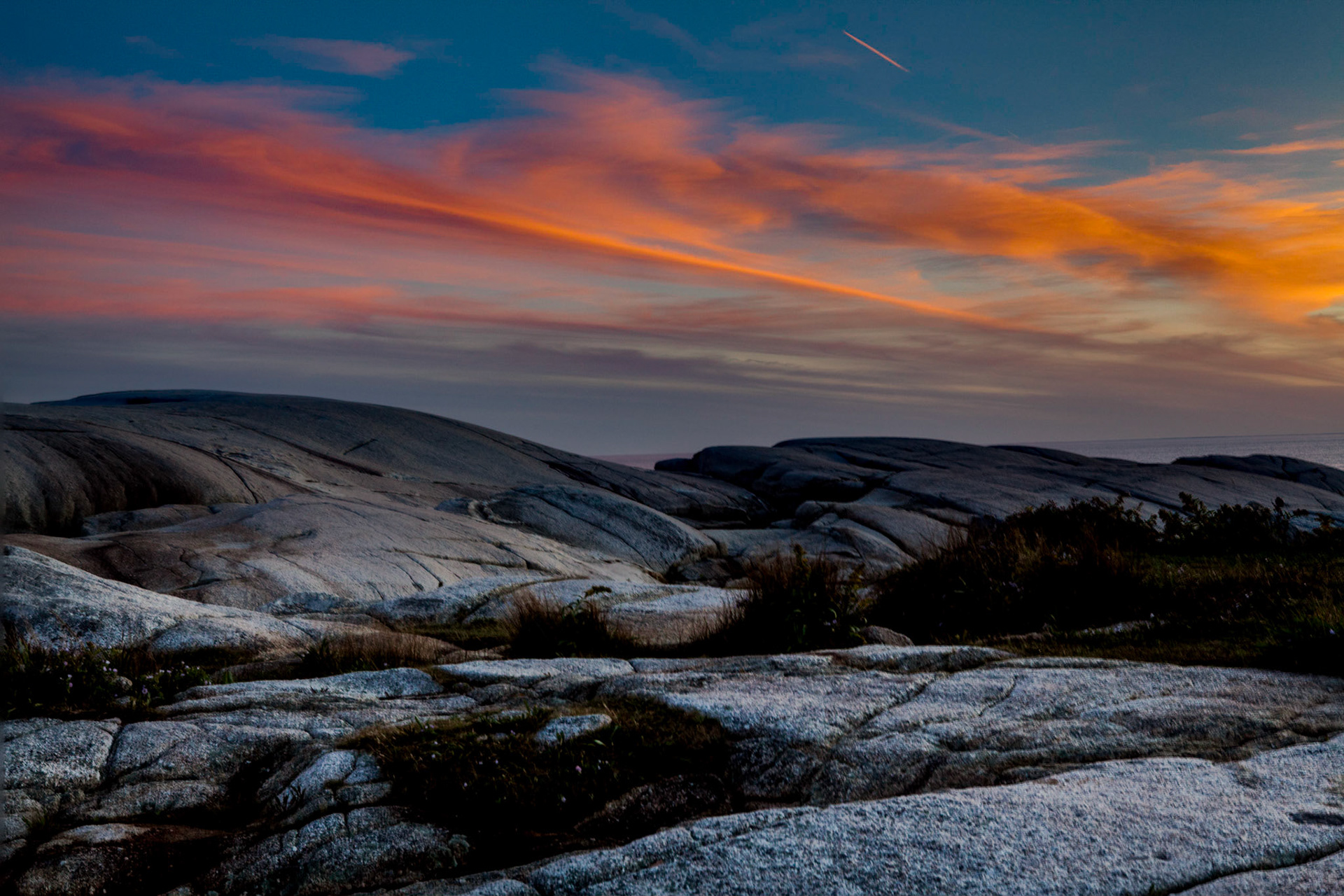
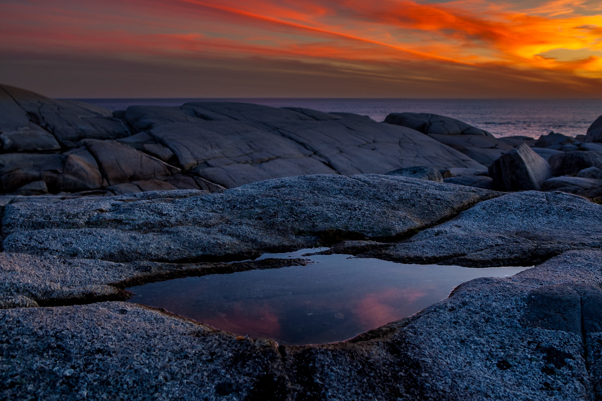
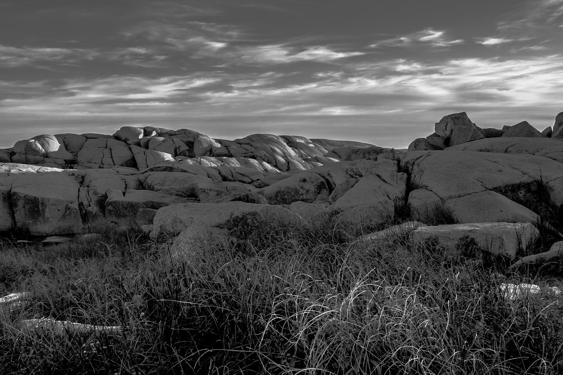
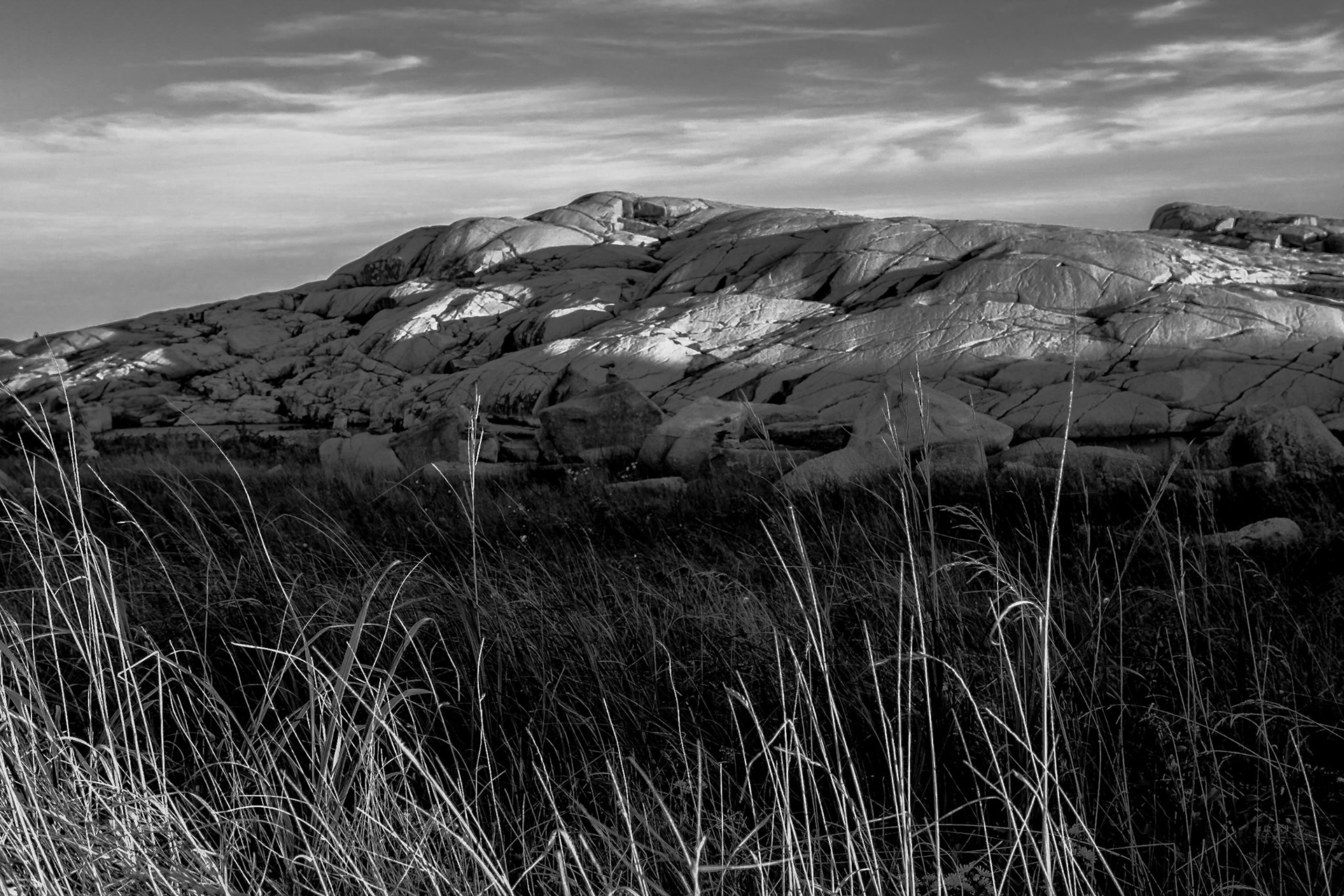
More than 400 million years ago, in the Devonian Period, the plate tectonics movement of the Earth's crust allowed molten material to bubble up from the Earth's interior. This formed the rocks we see today and are part of the Great Nova Scotia batholith. The unique landscape of Peggy's Cove and surrounding areas was subsequently carved by the migration of glaciers and the ocean tides. About 20,000 years ago, an ice ridge moved south from Canada's Arctic region covering much of North America. Along with the ebb and flow of the glaciers, the ice ridge eventually melted and shifted and in the process scooped away and scoured large sections of rock, vegetation, and topsoil. As melted land glaciers flowed back to the oceans the changing tidal flows and rising sea levels filled the scarred areas with water, forming coves and inlets. Large boulders composed of 415-million-year-old Devonian granite, called glacial erratics, were lifted by the ice and carried for long distances before being deposited upon the landscape as the ice receded, leaving rugged barrens. The movement of the glacial ice and rocks left scouring marks in the bedrock that are still visible.
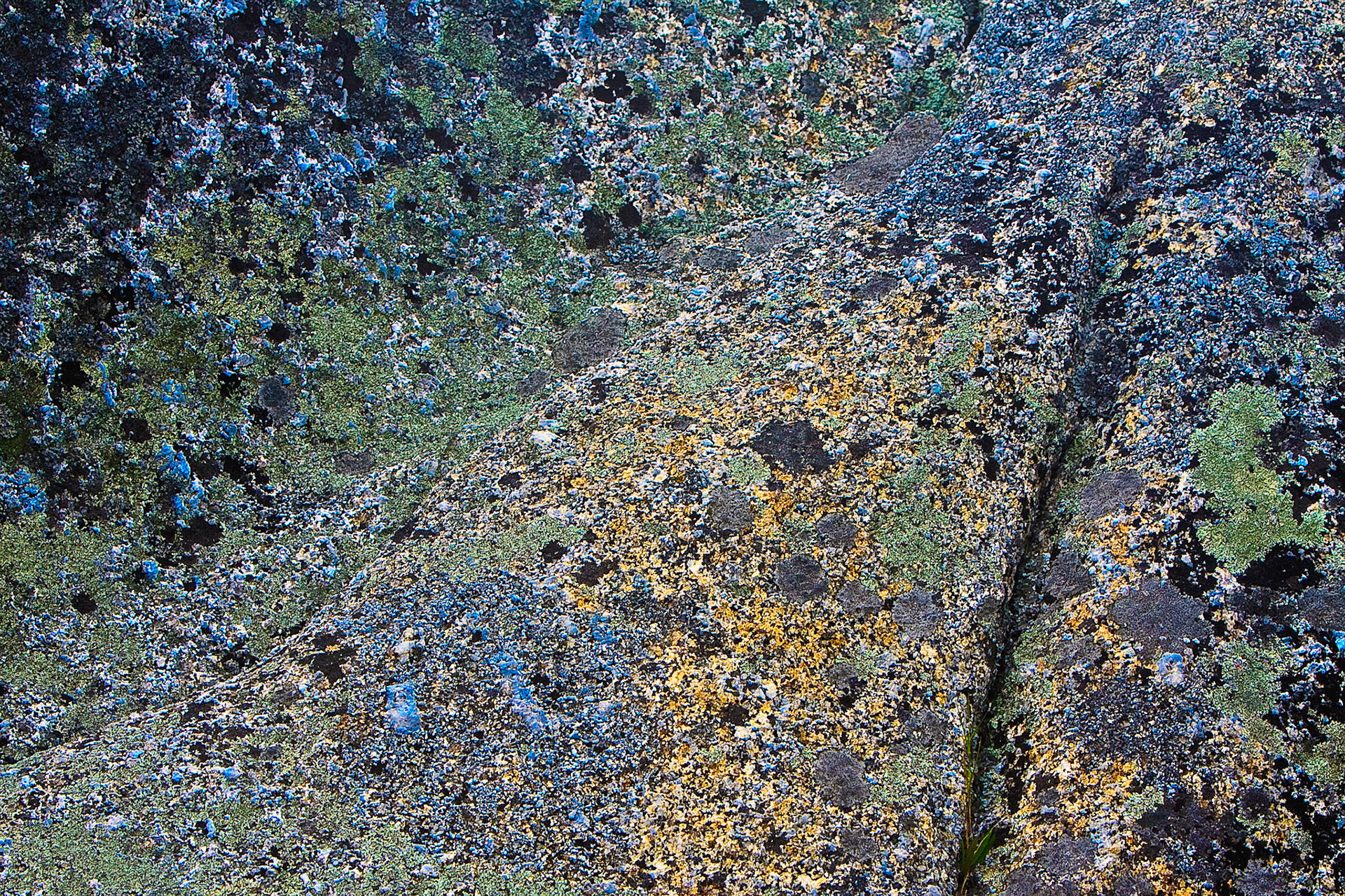
The stone is amazing.
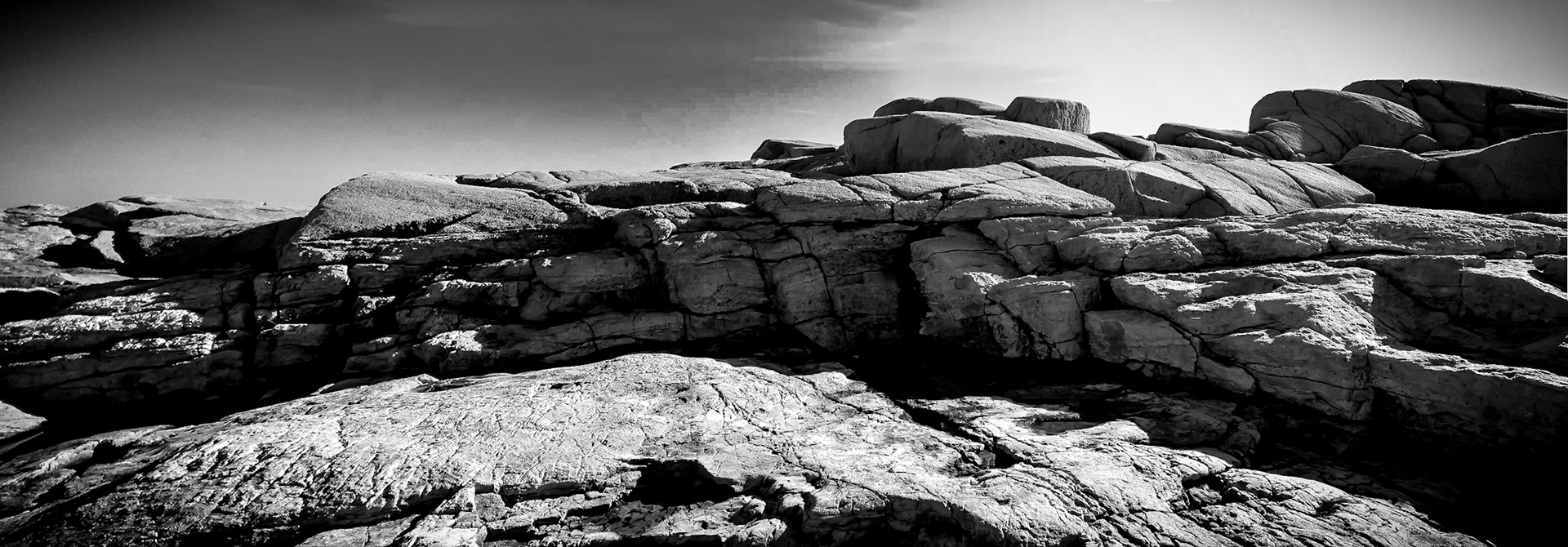


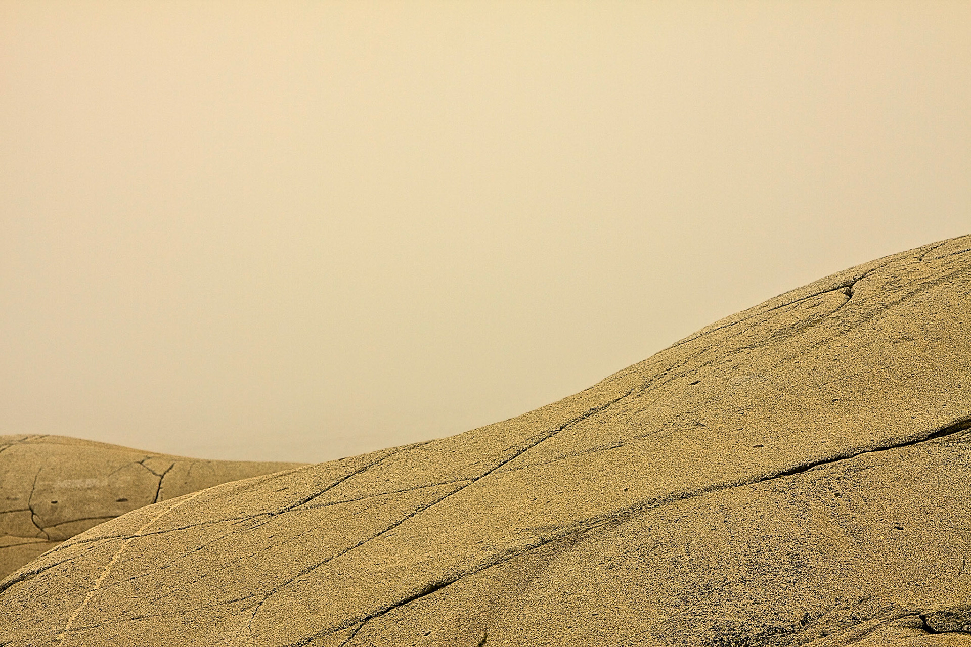
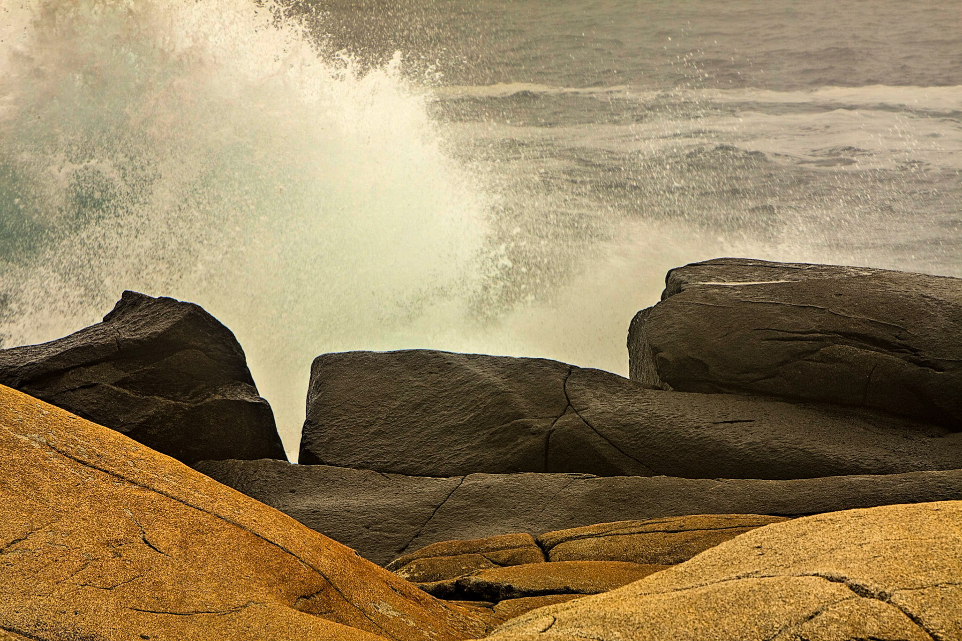
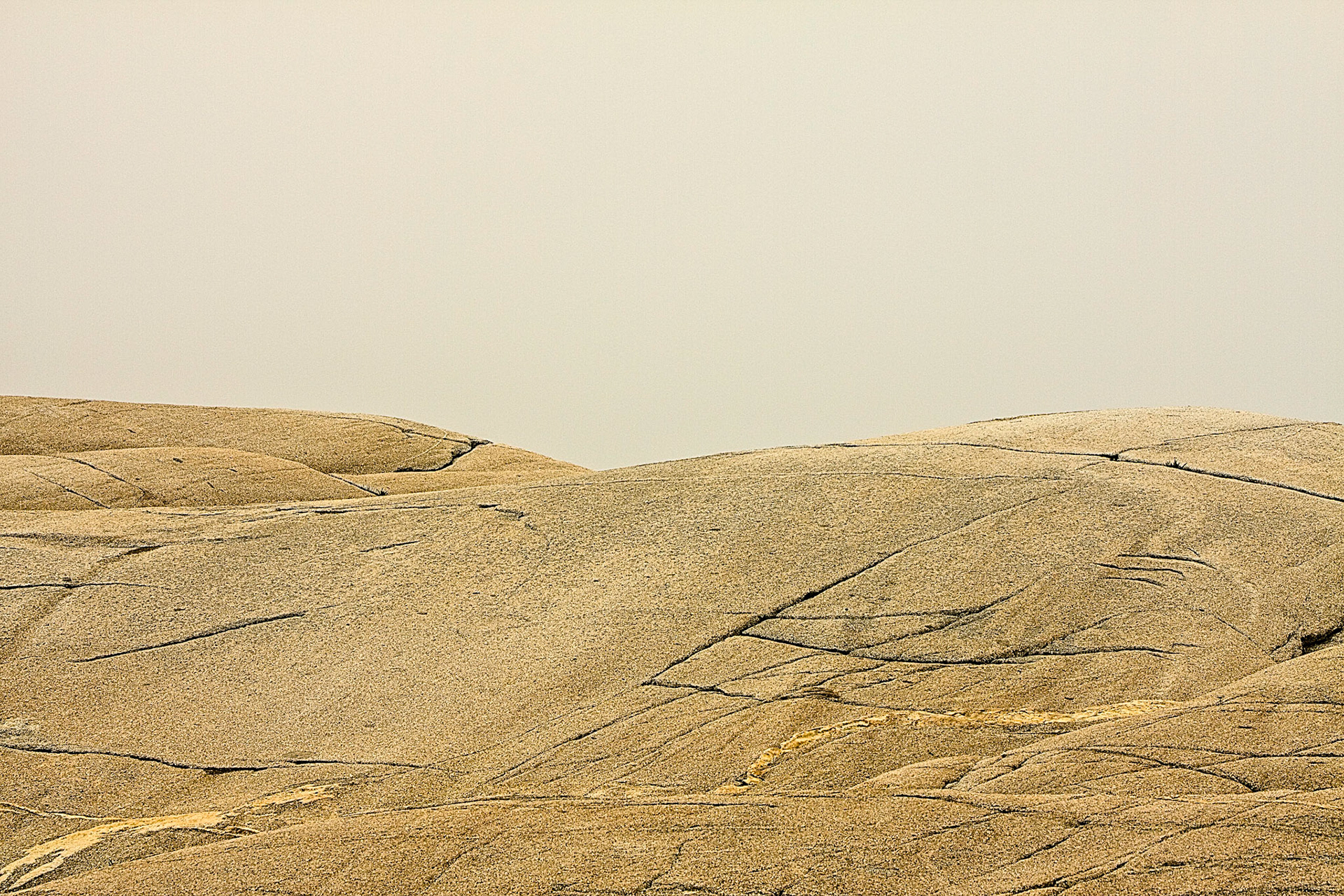
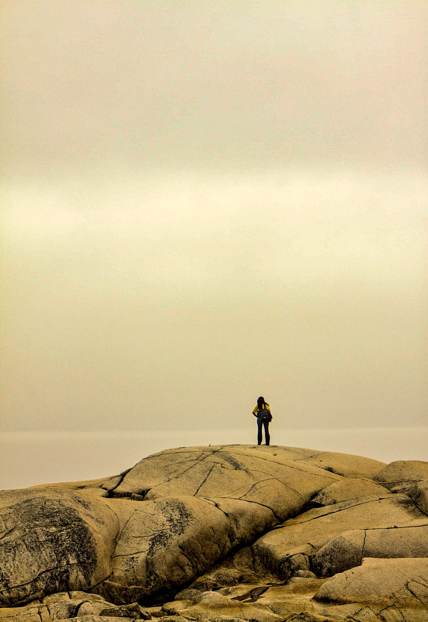


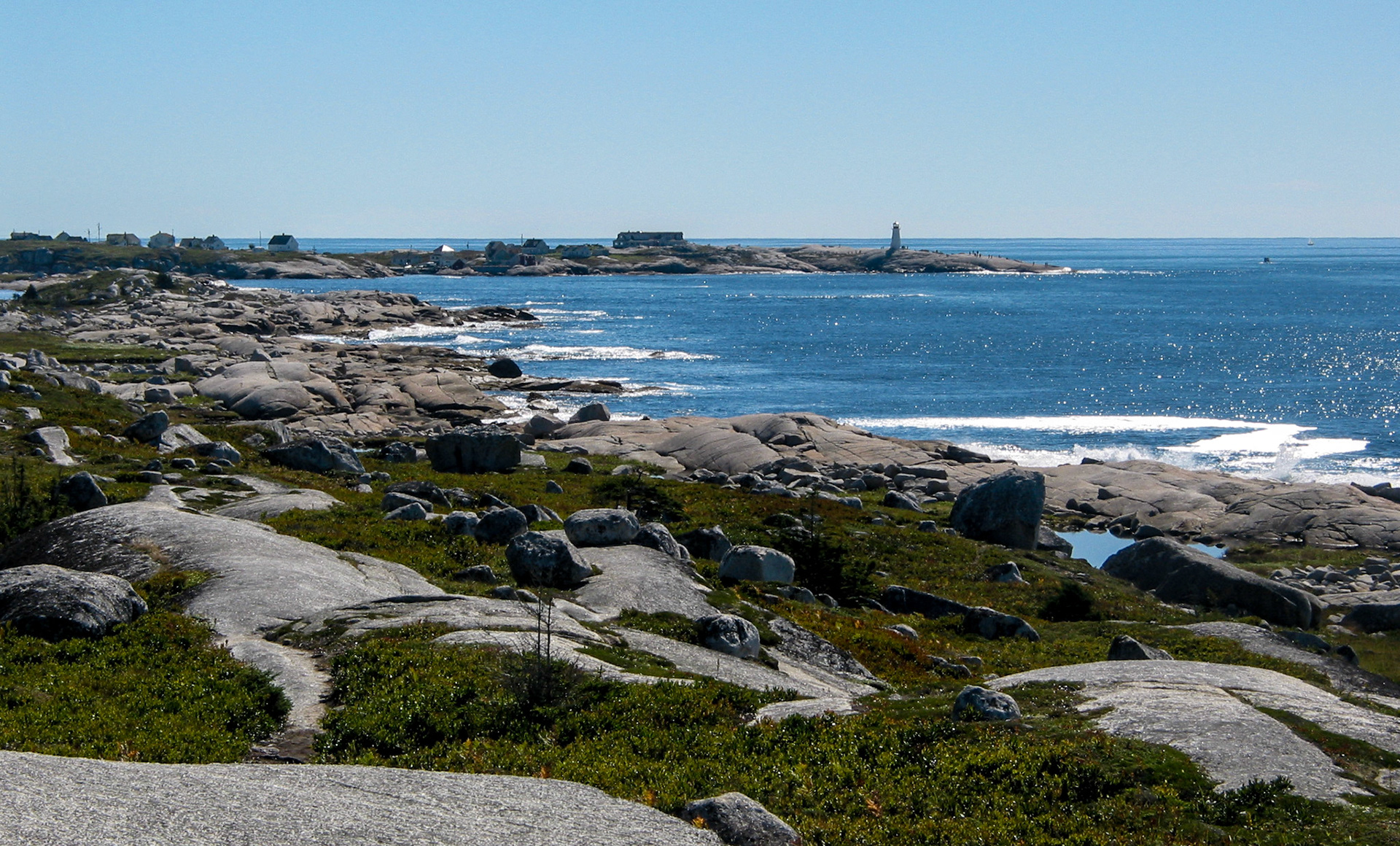
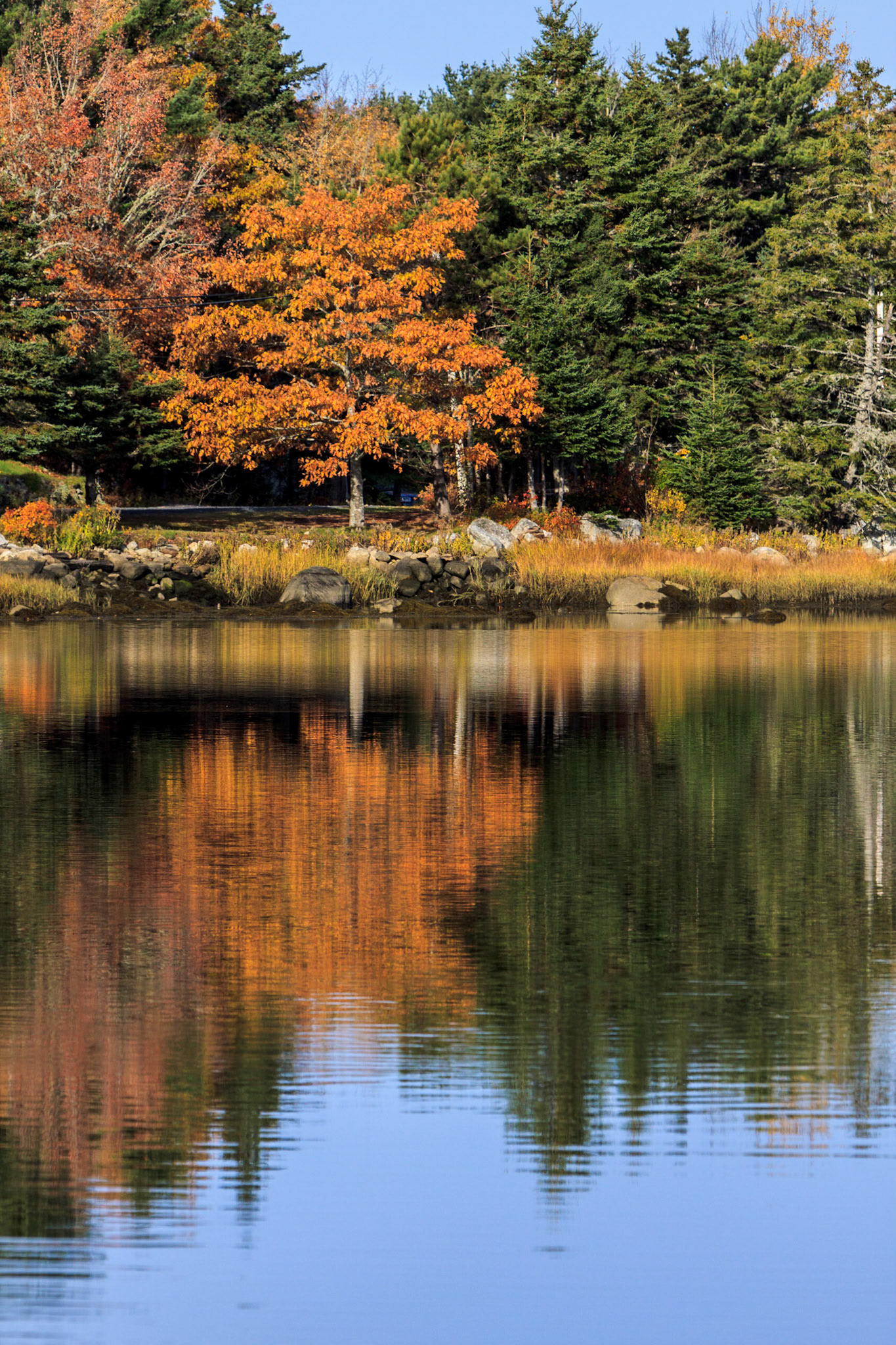
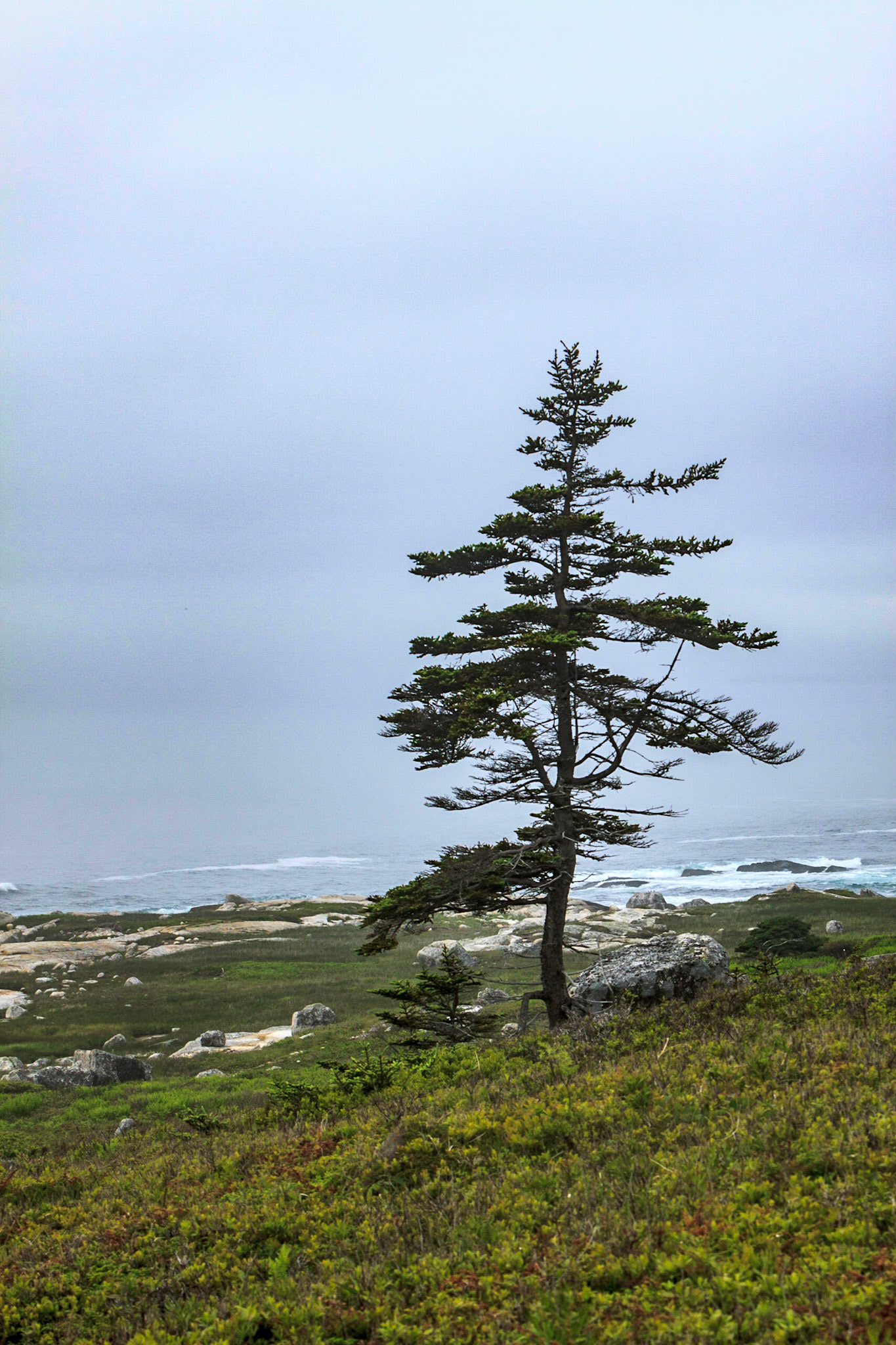
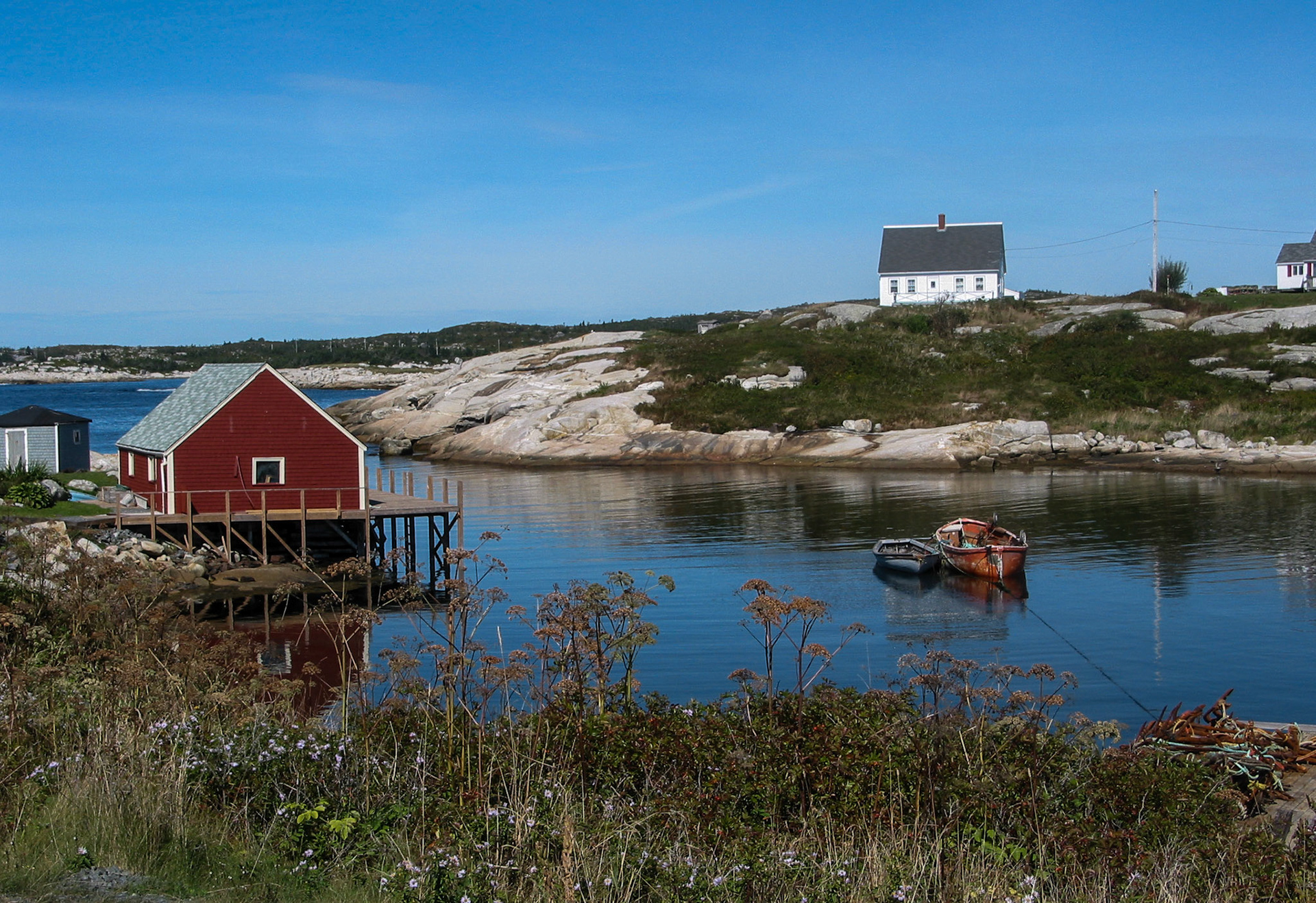
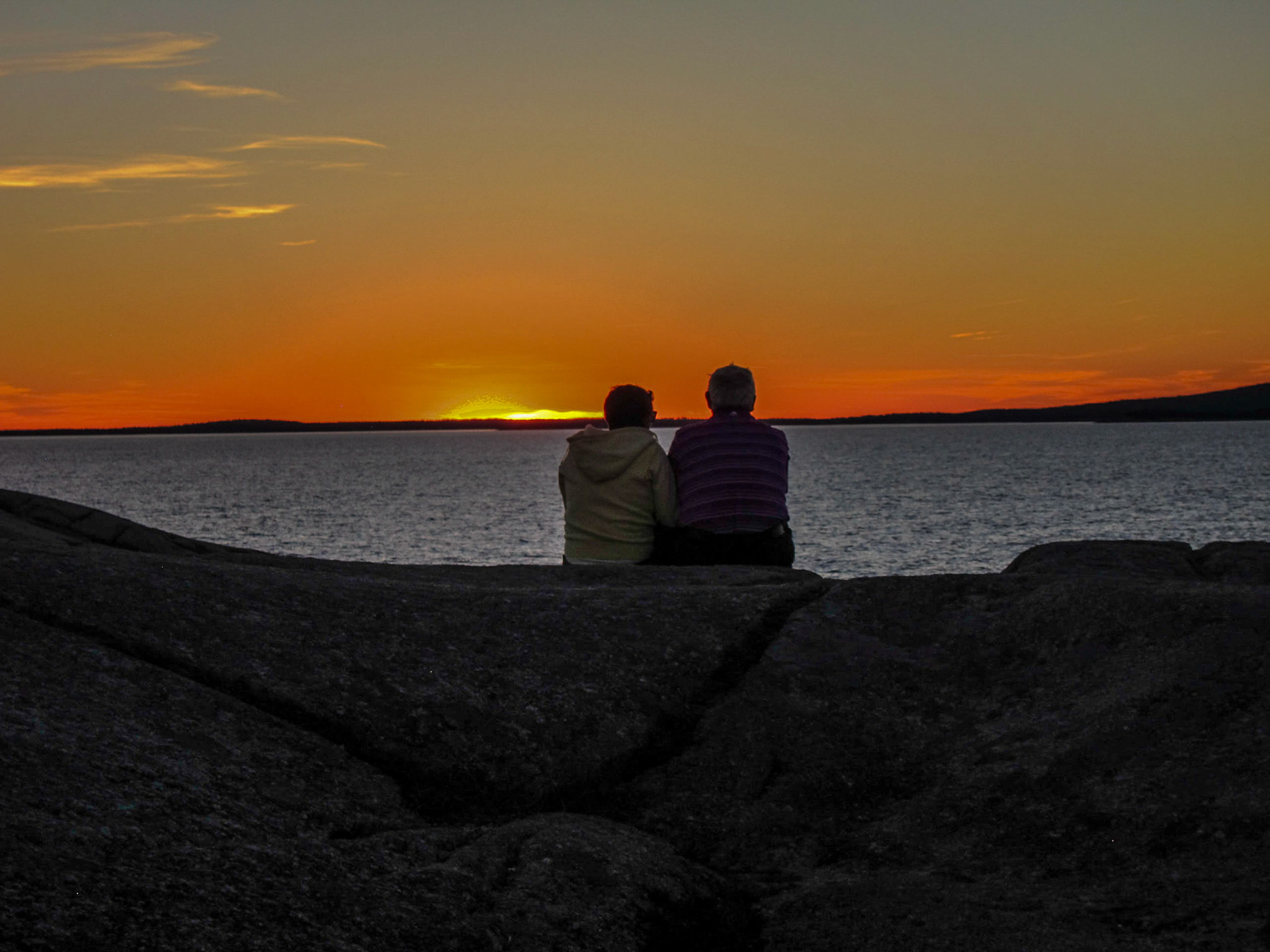
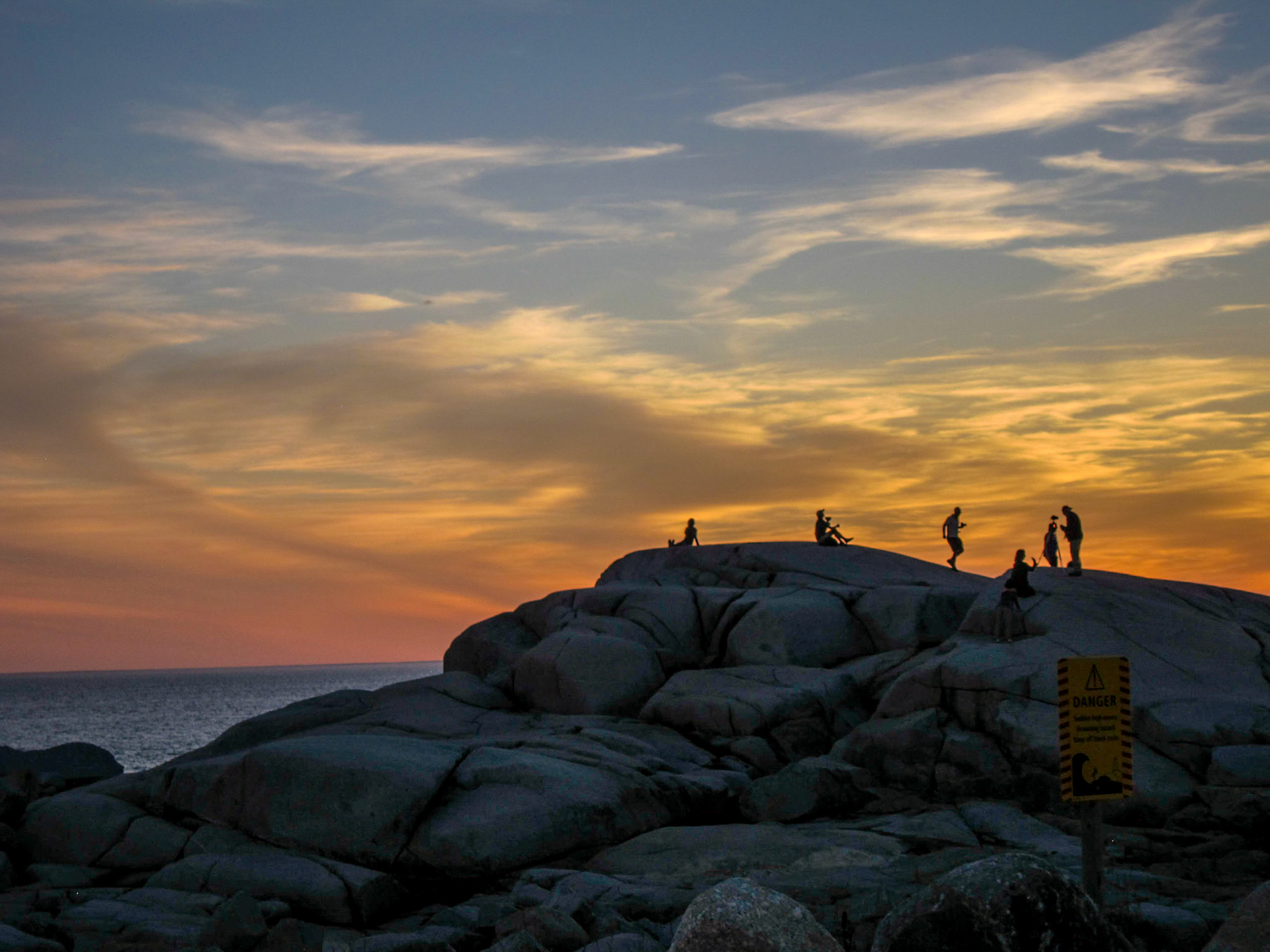
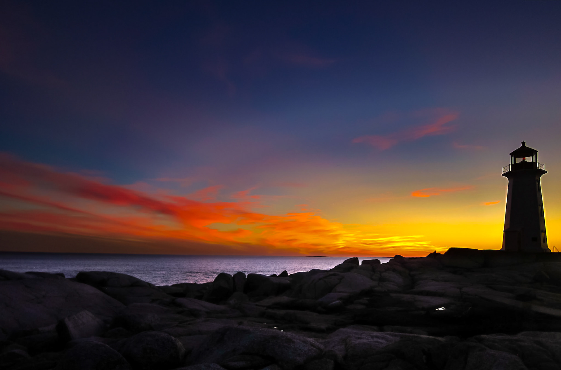
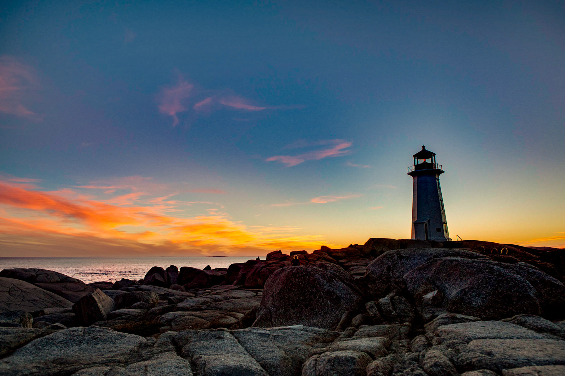
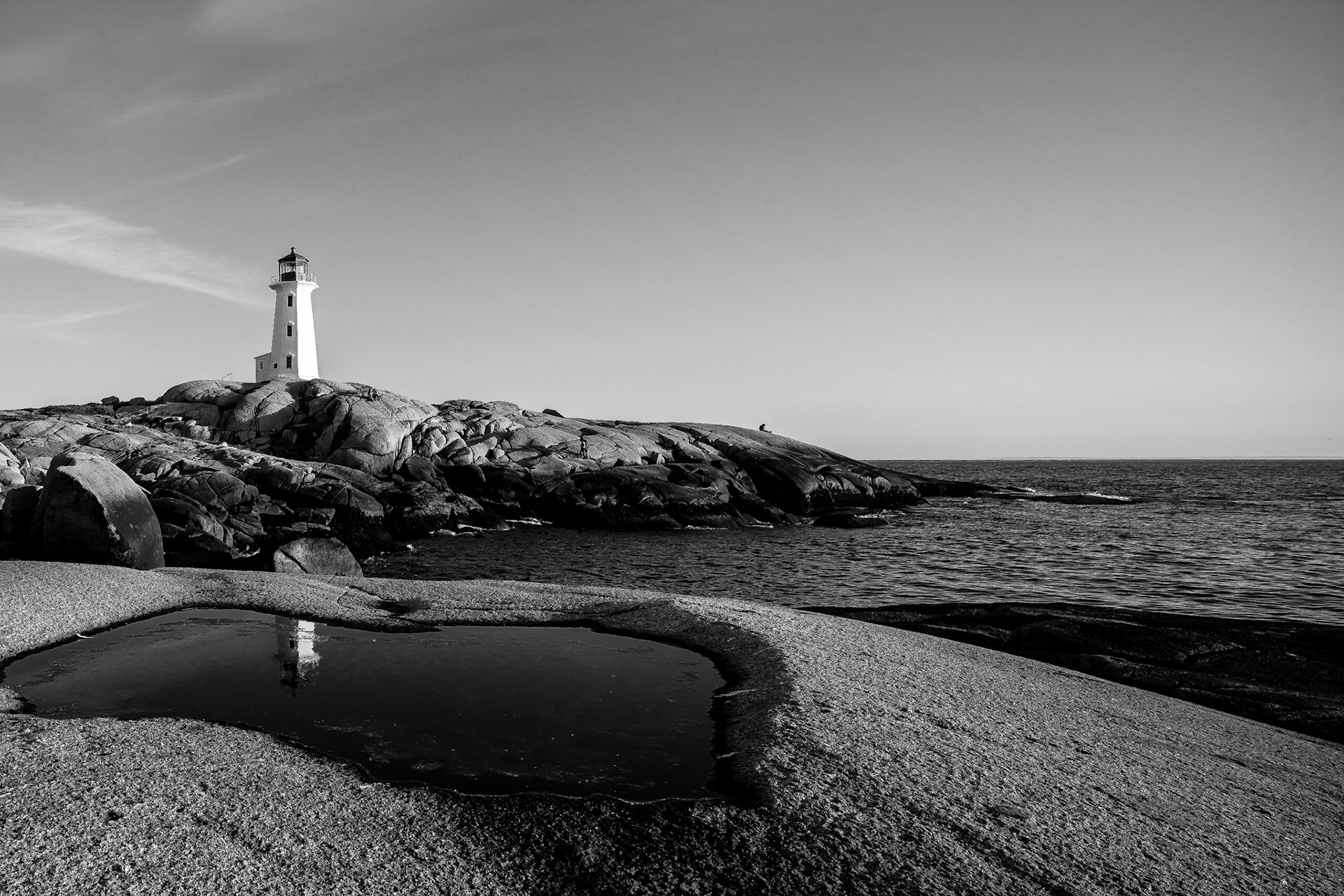
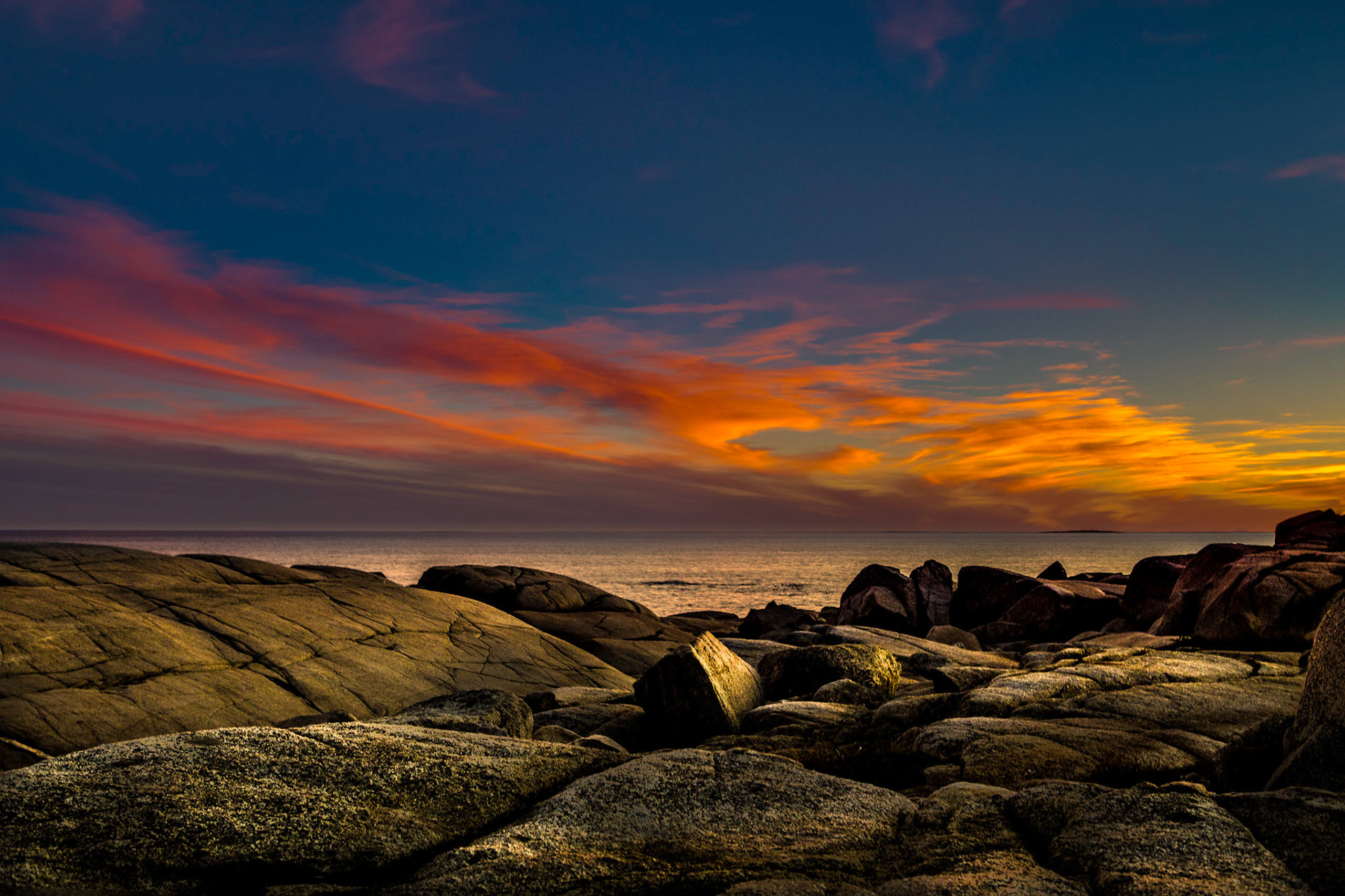
The surrounding area is challenging, one of those beautiful images hard to capture.
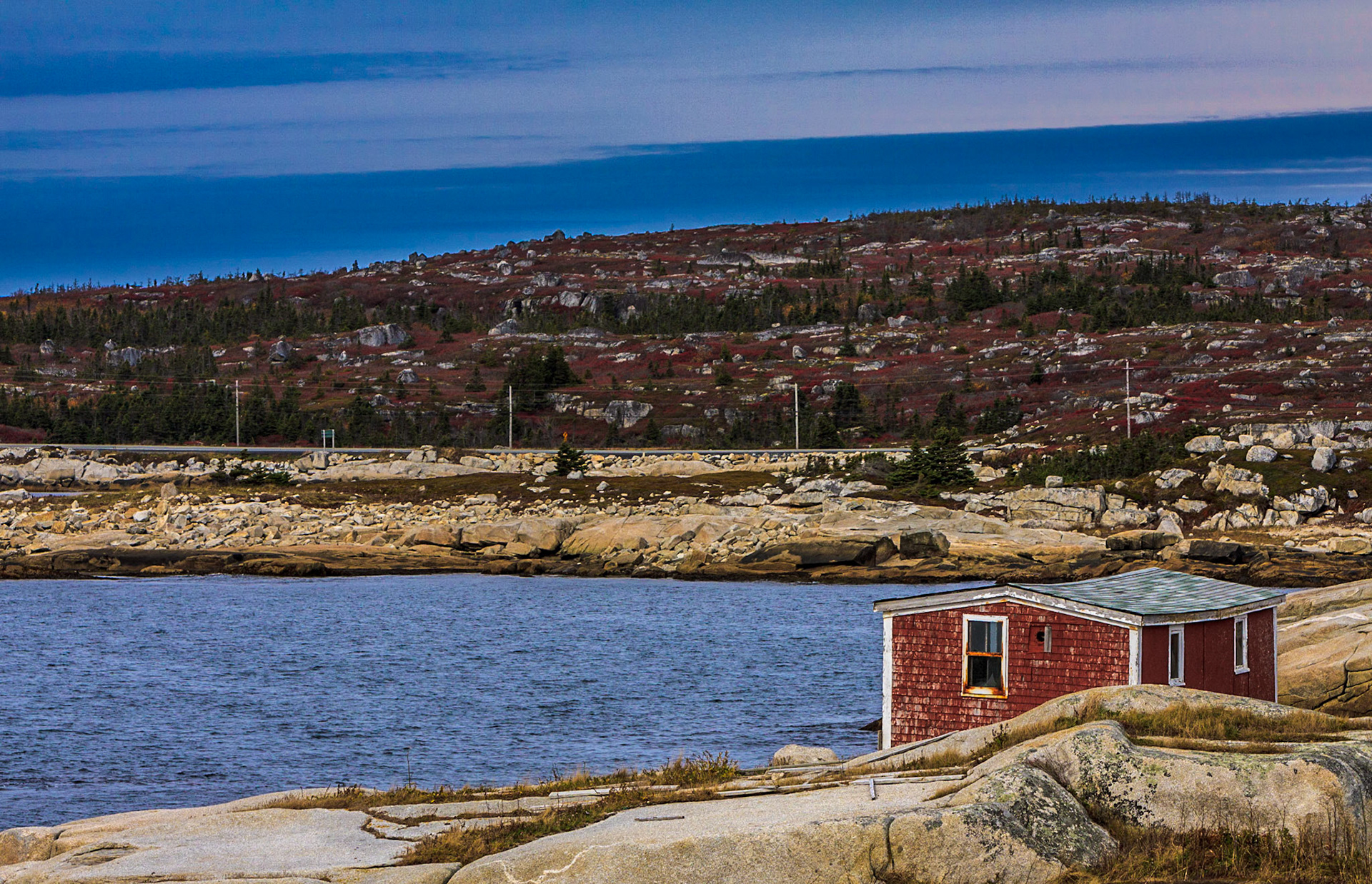

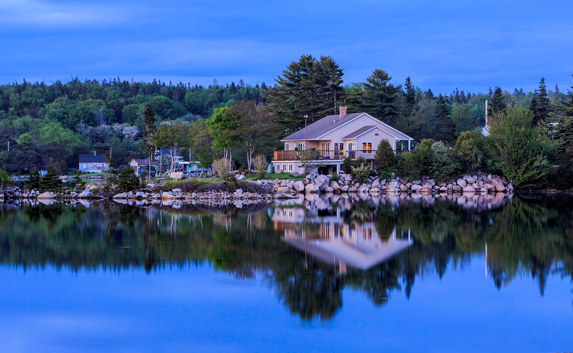

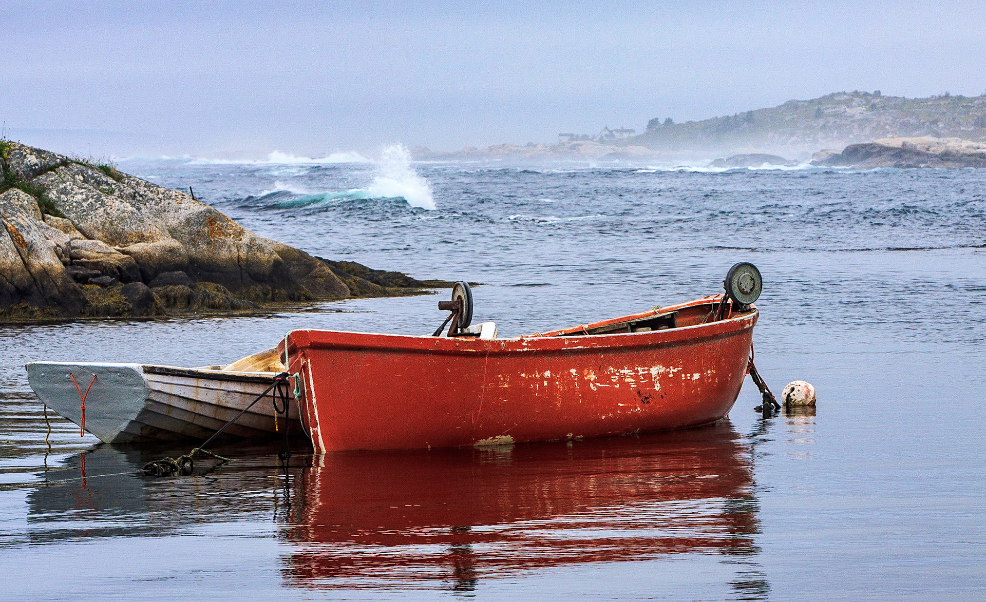
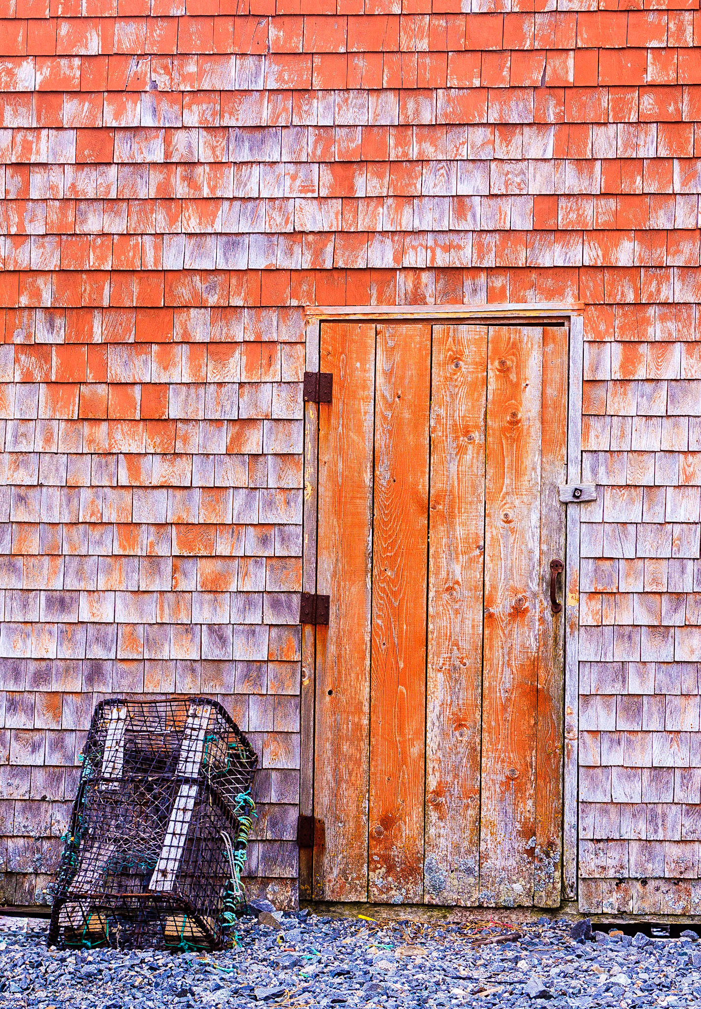
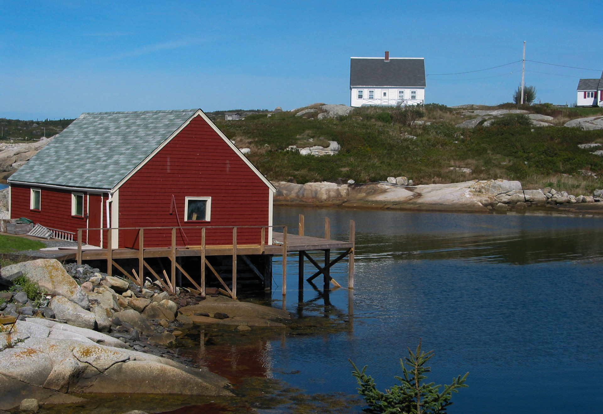
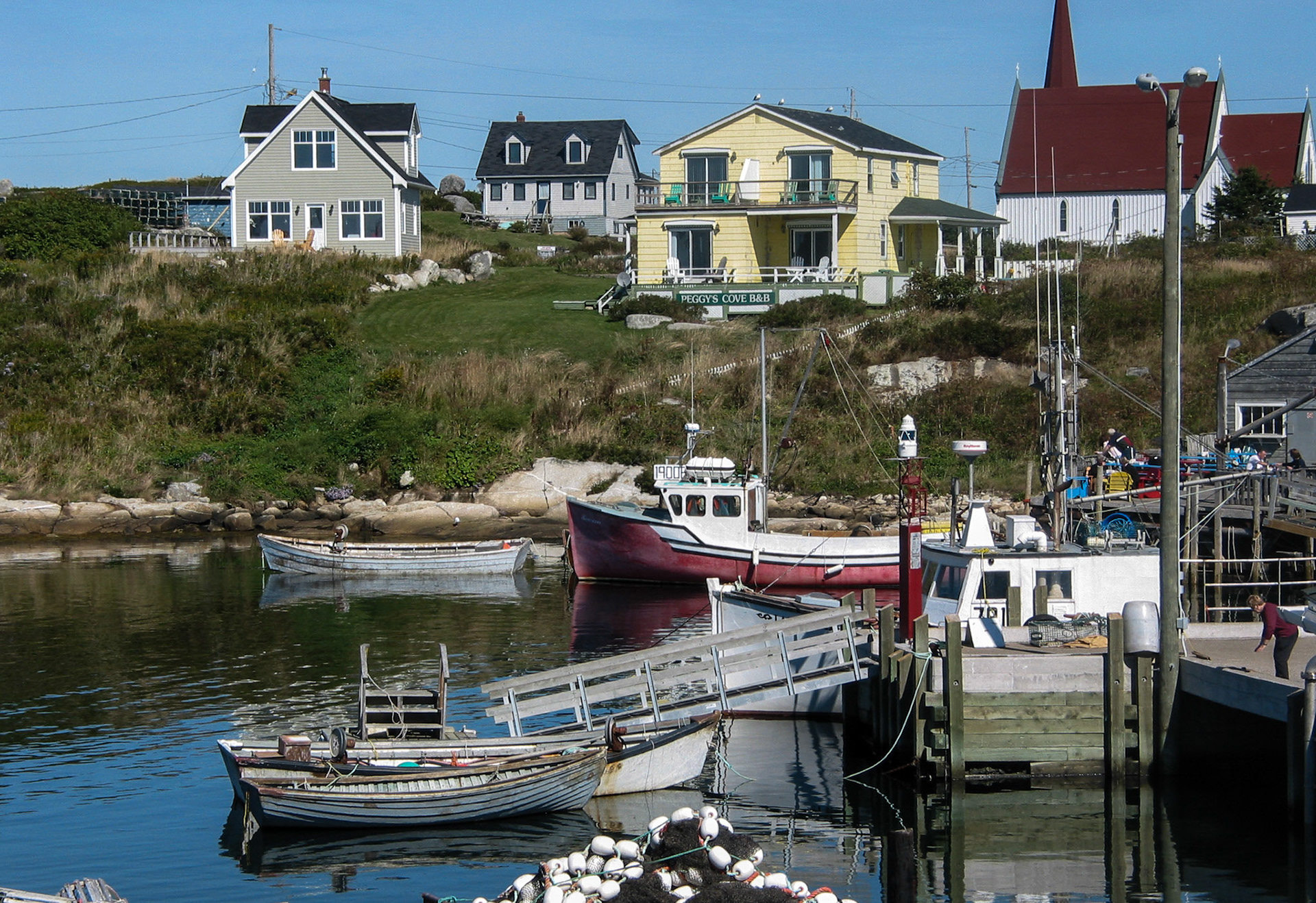
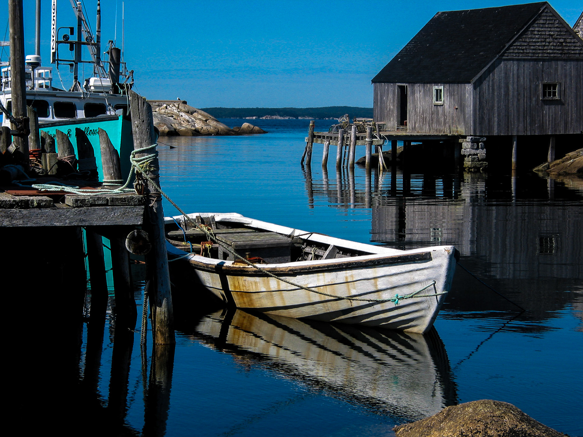
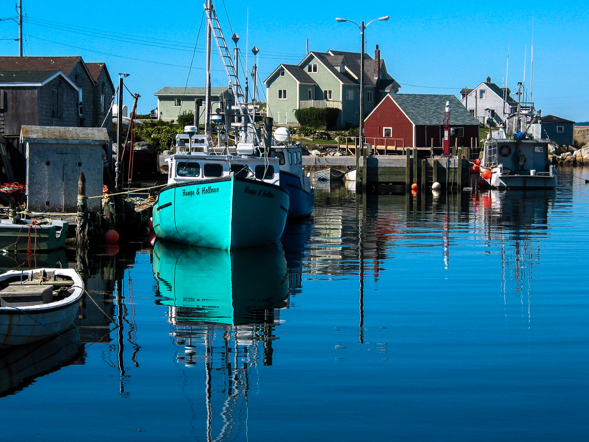
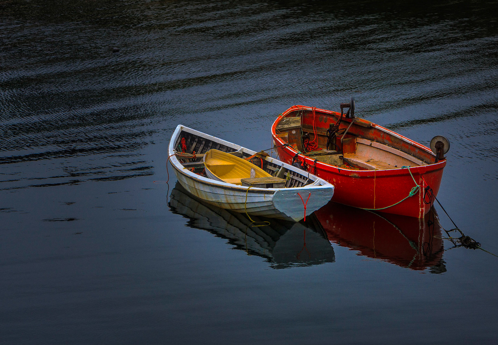
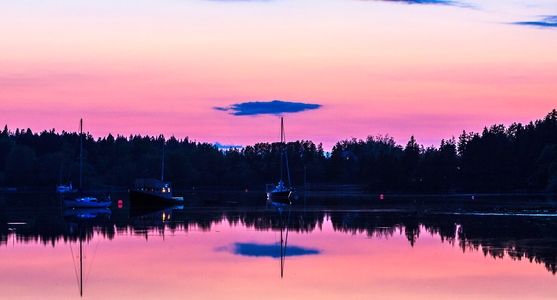
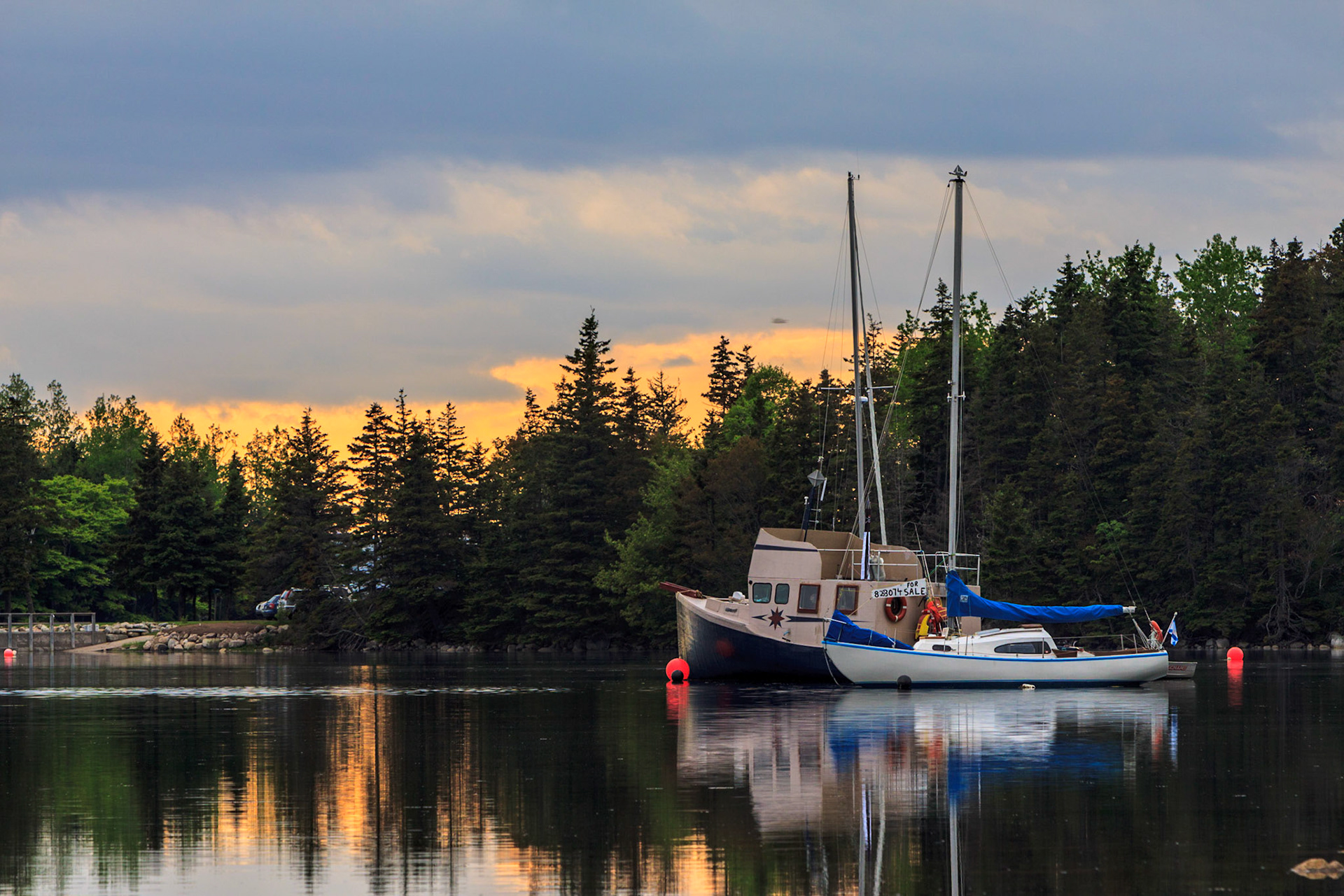
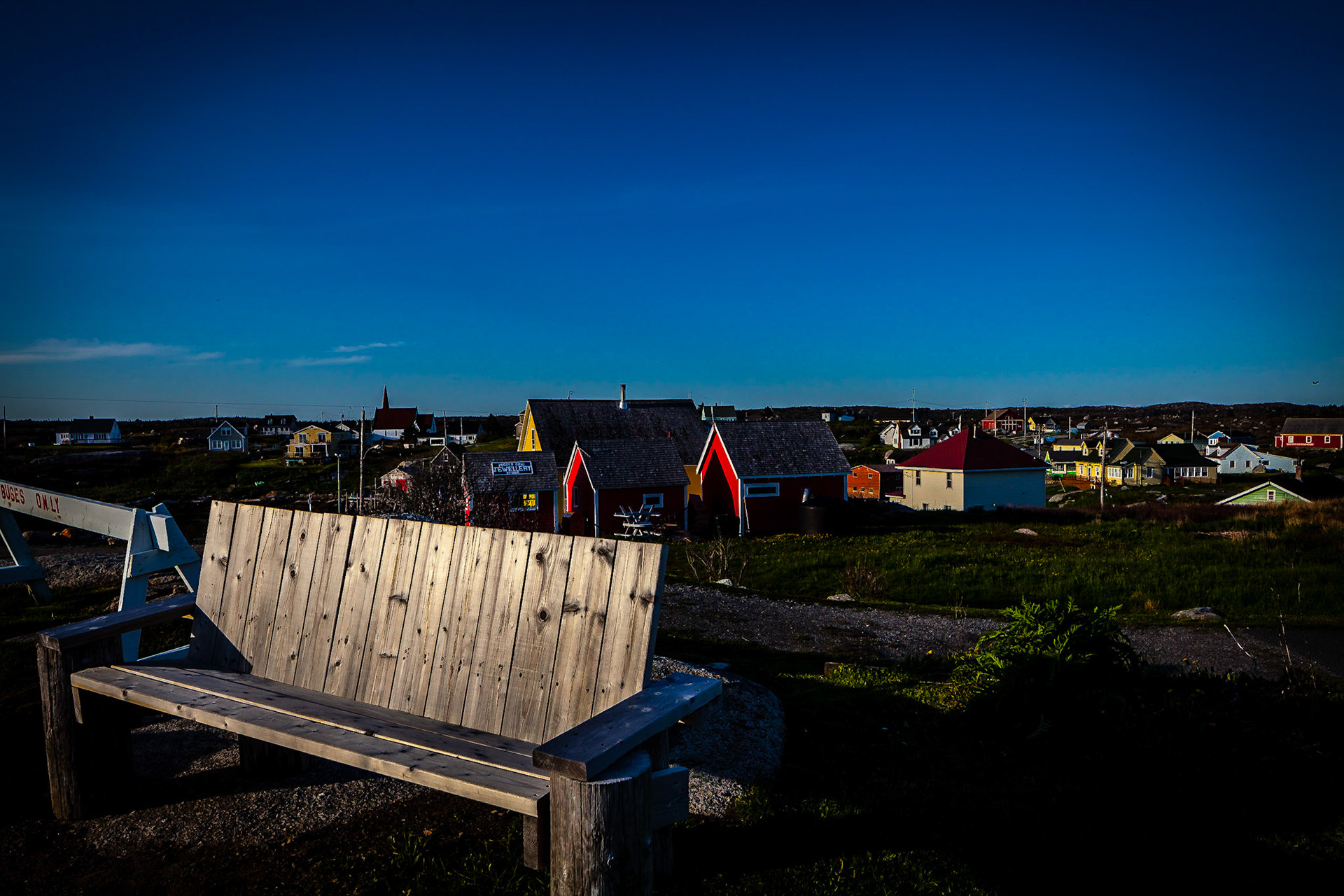
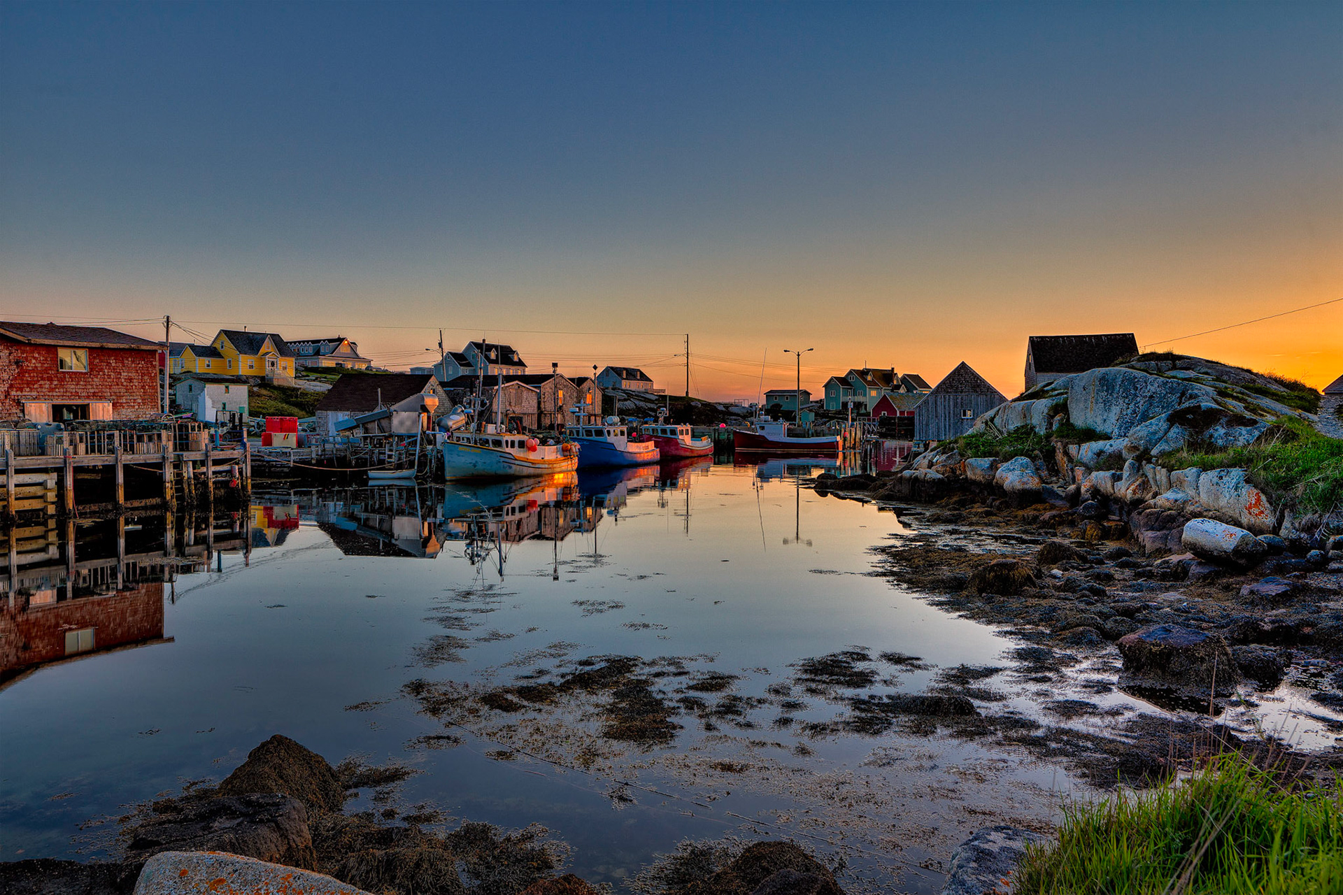
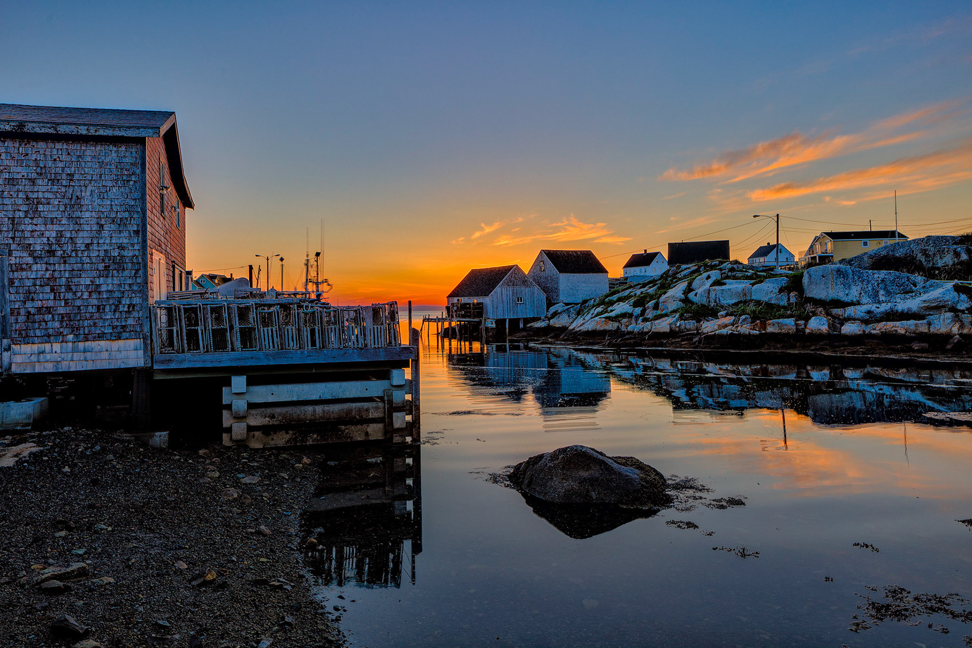
The fishing village is full functioning. I don't know how the locals tolerate all the gawking tourists.
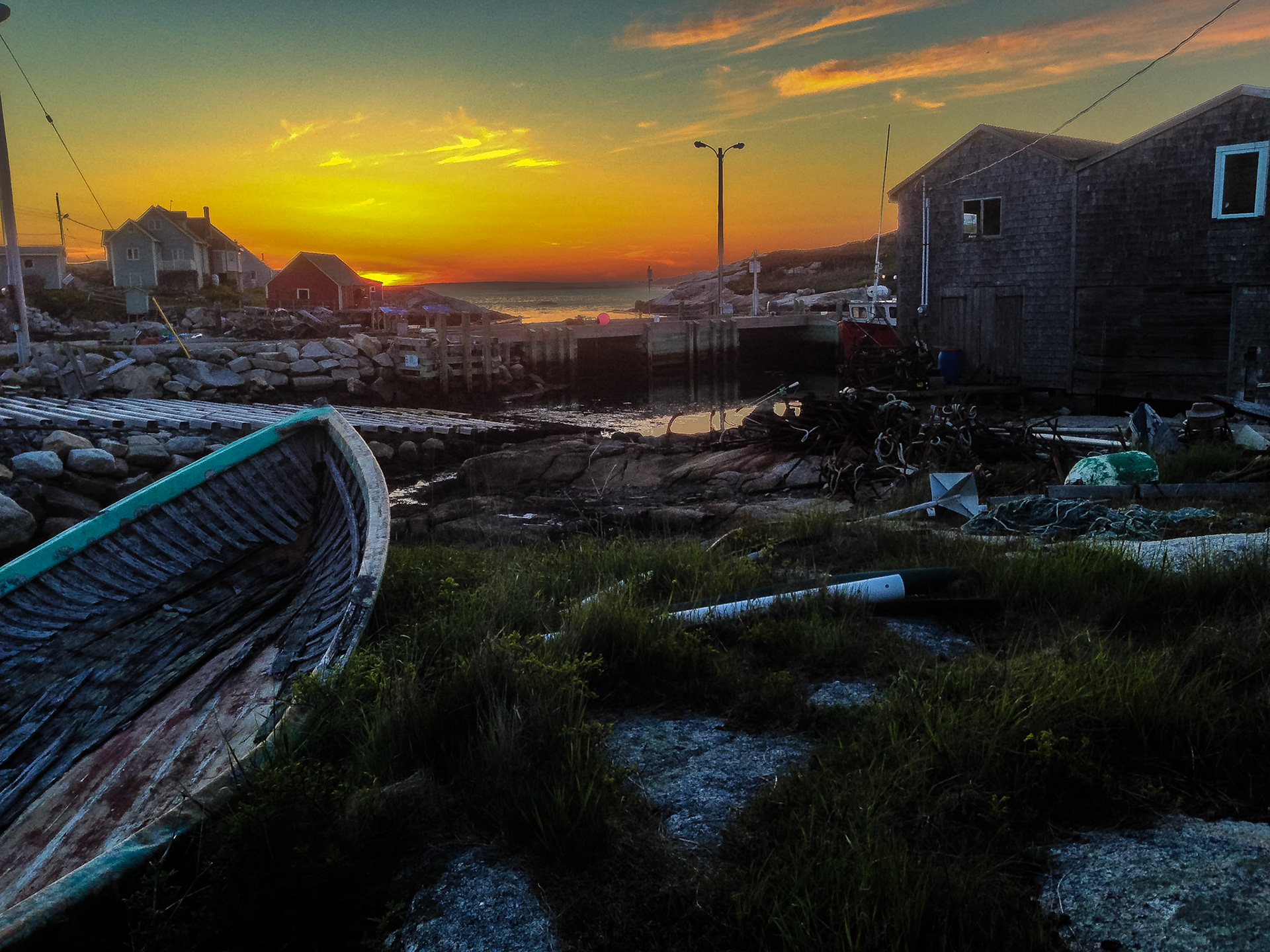
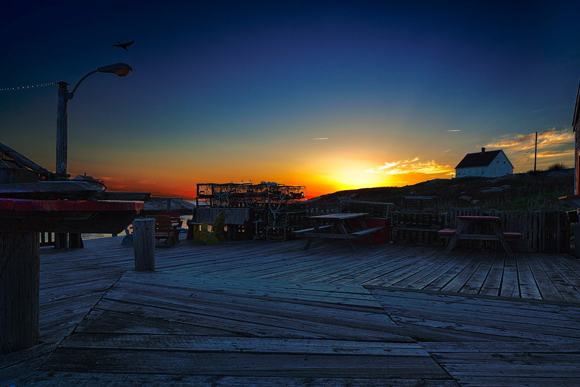


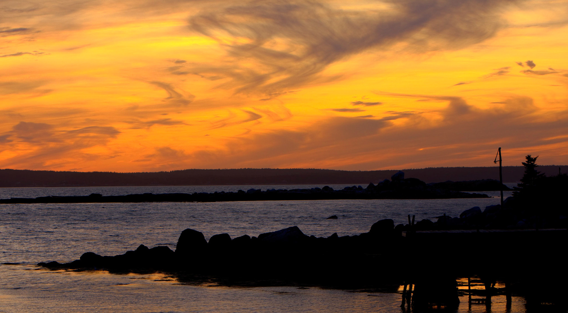
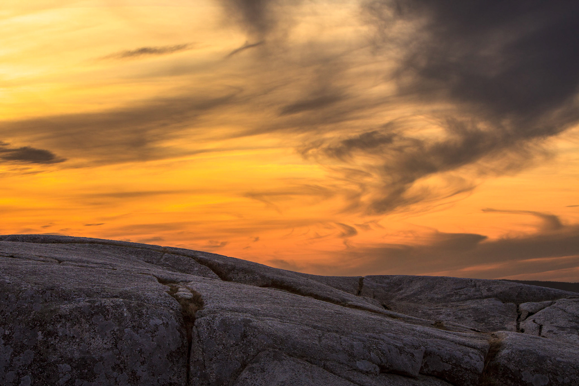
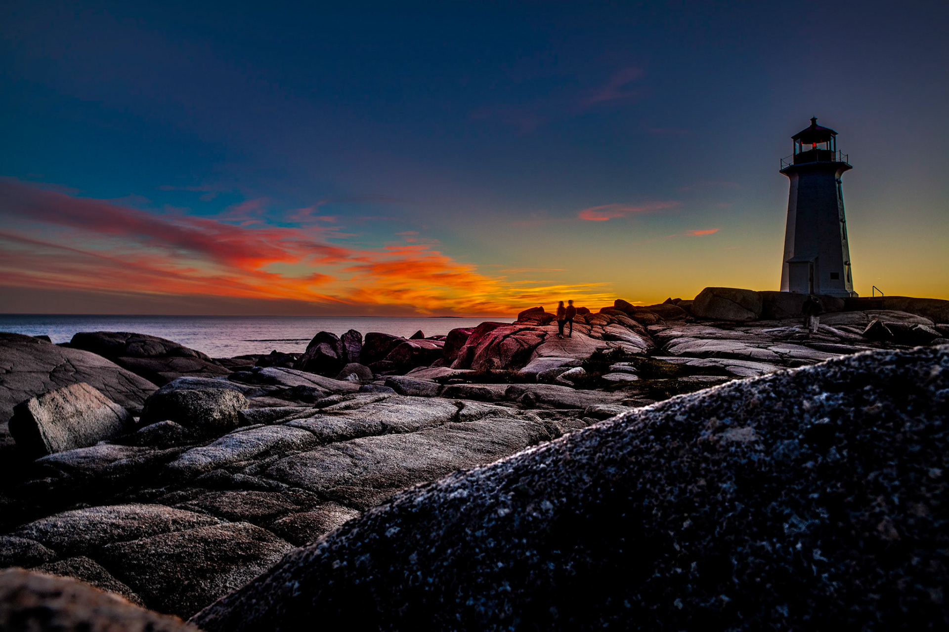
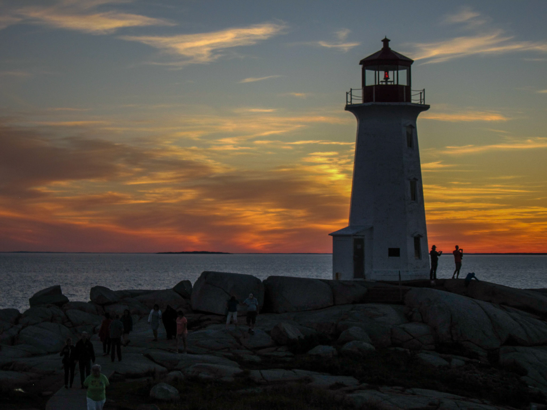
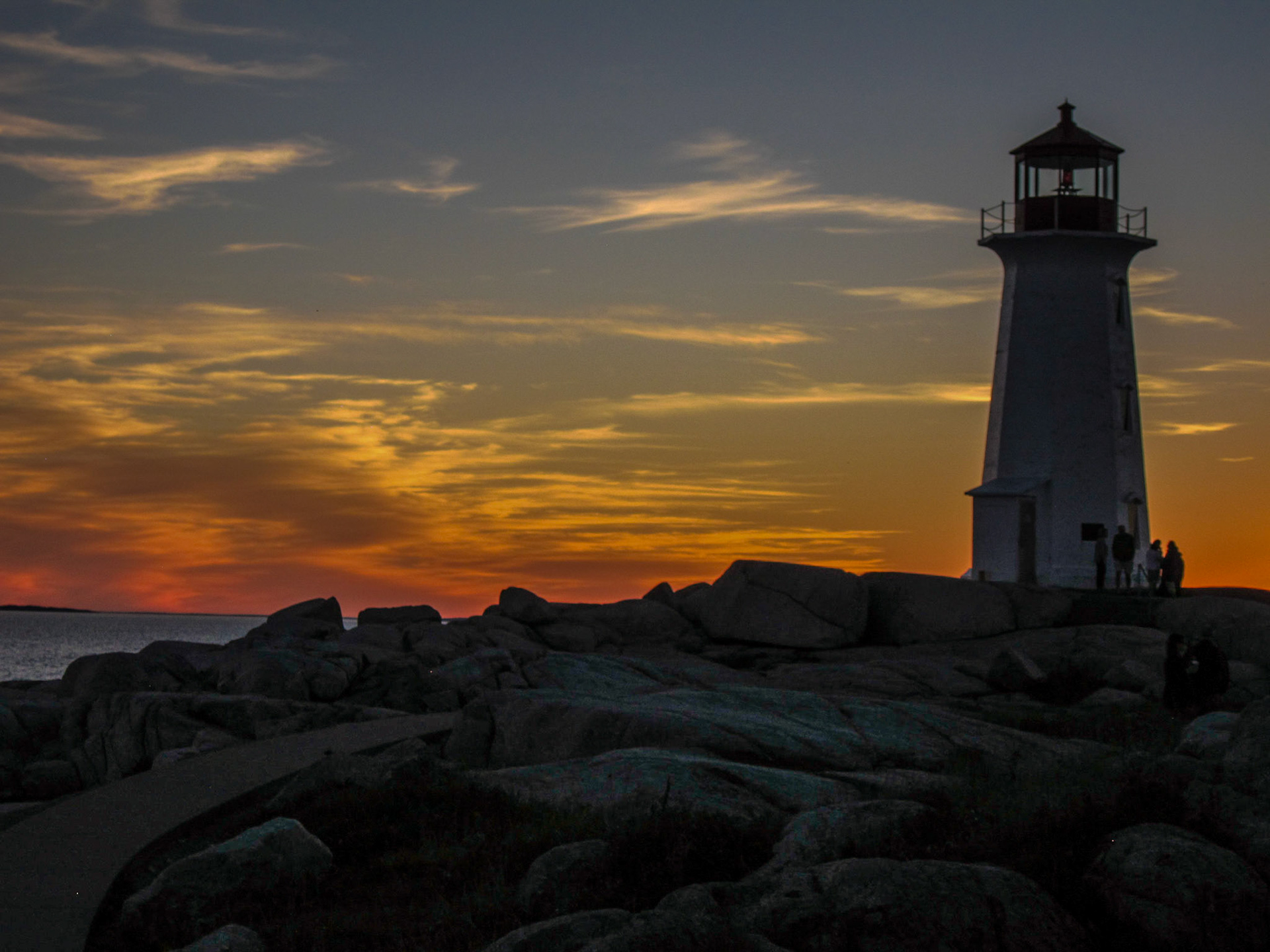
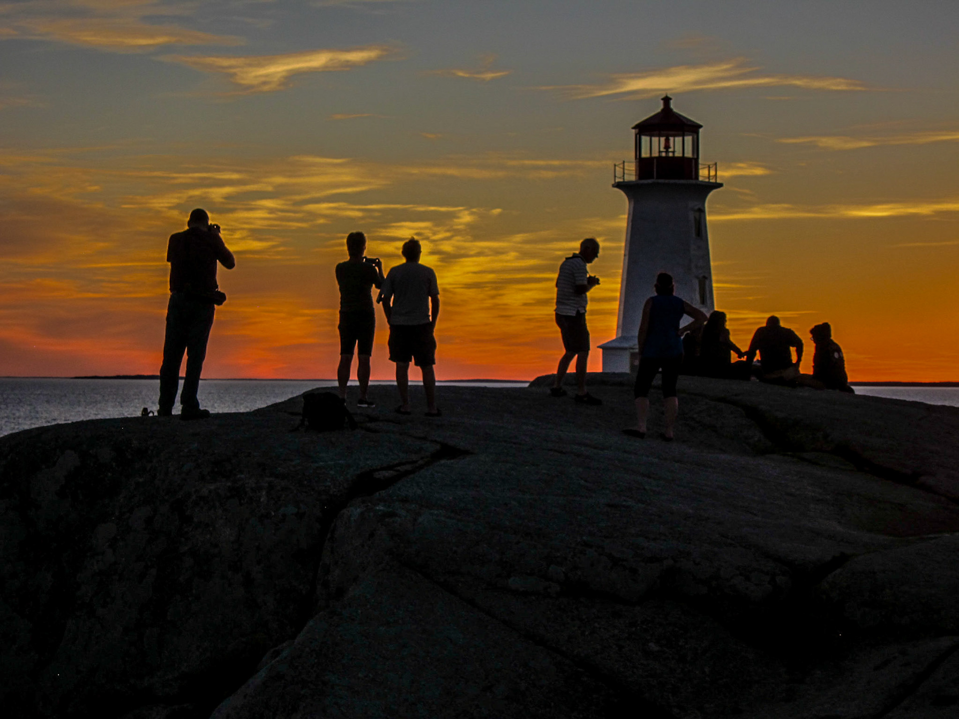
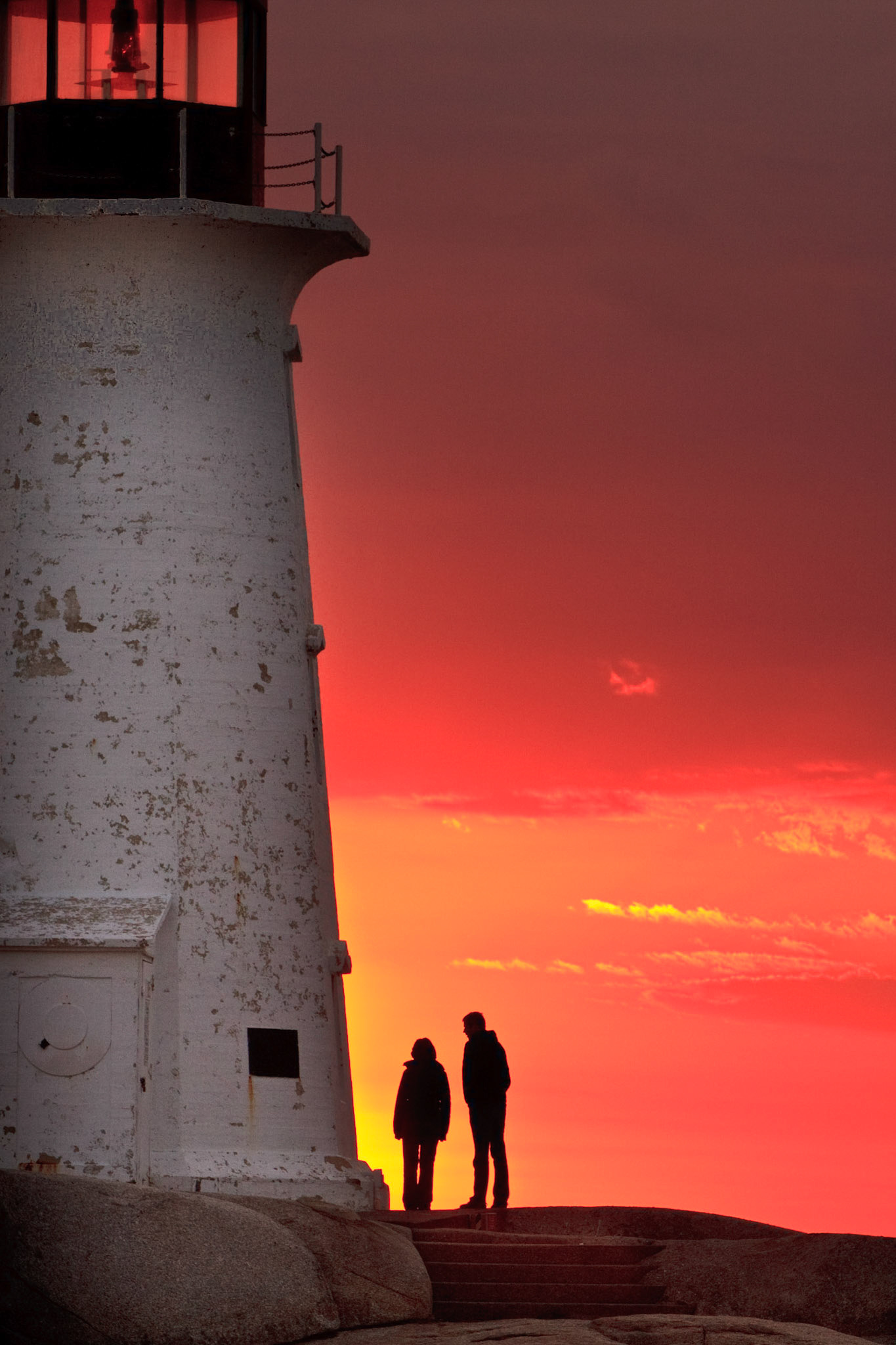
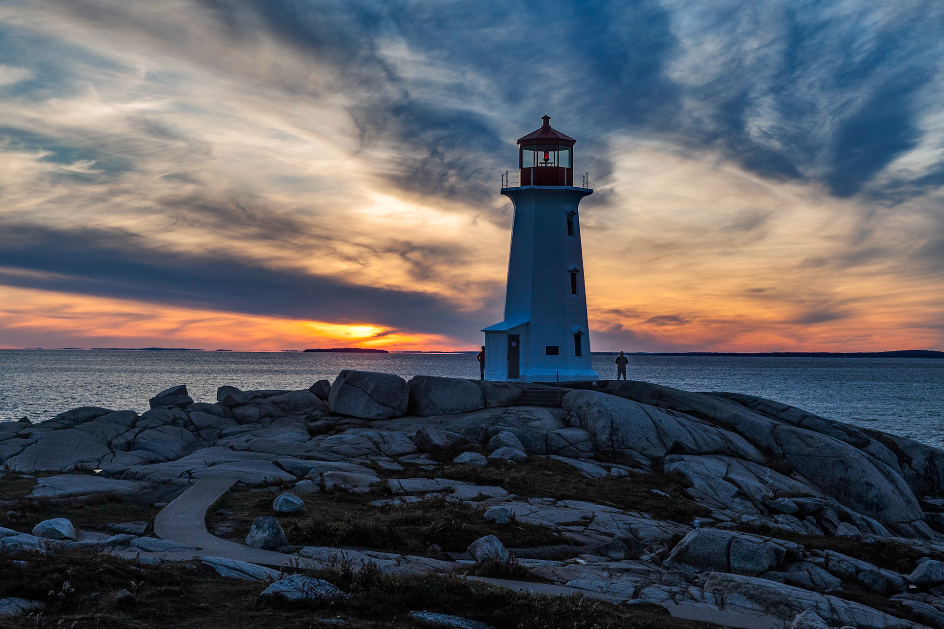
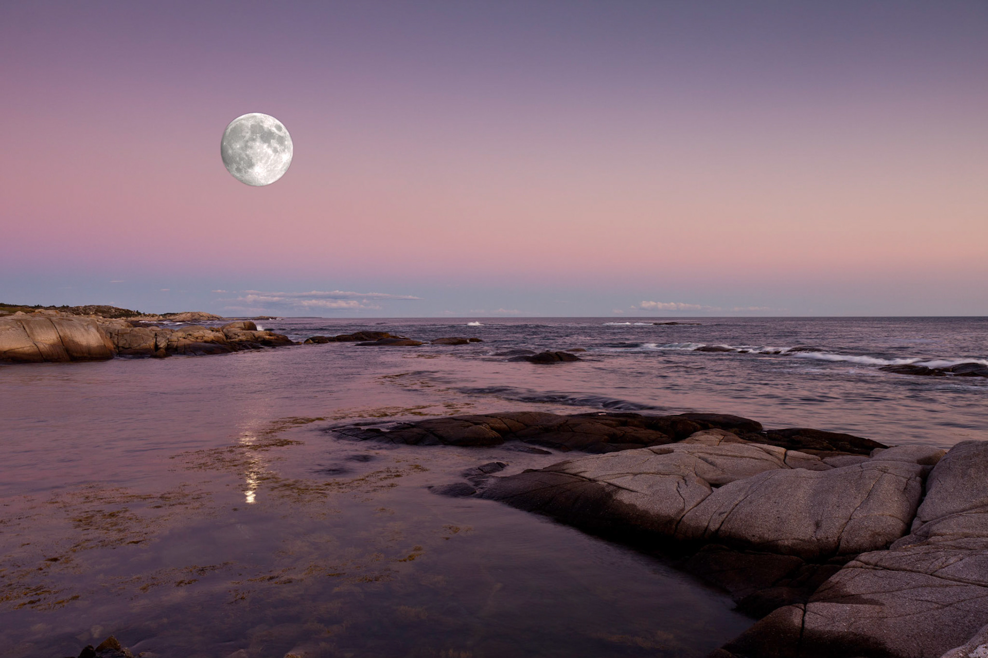
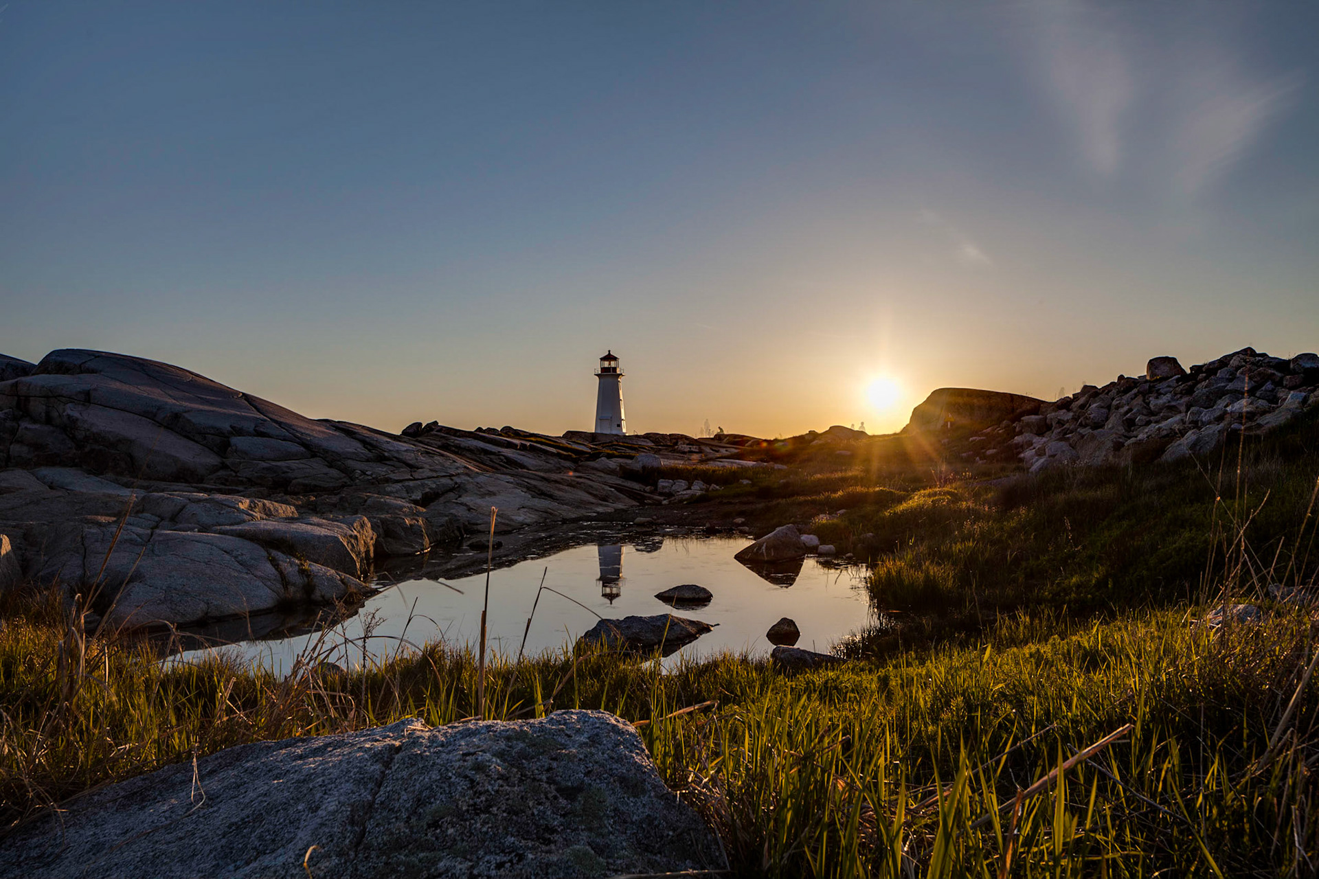
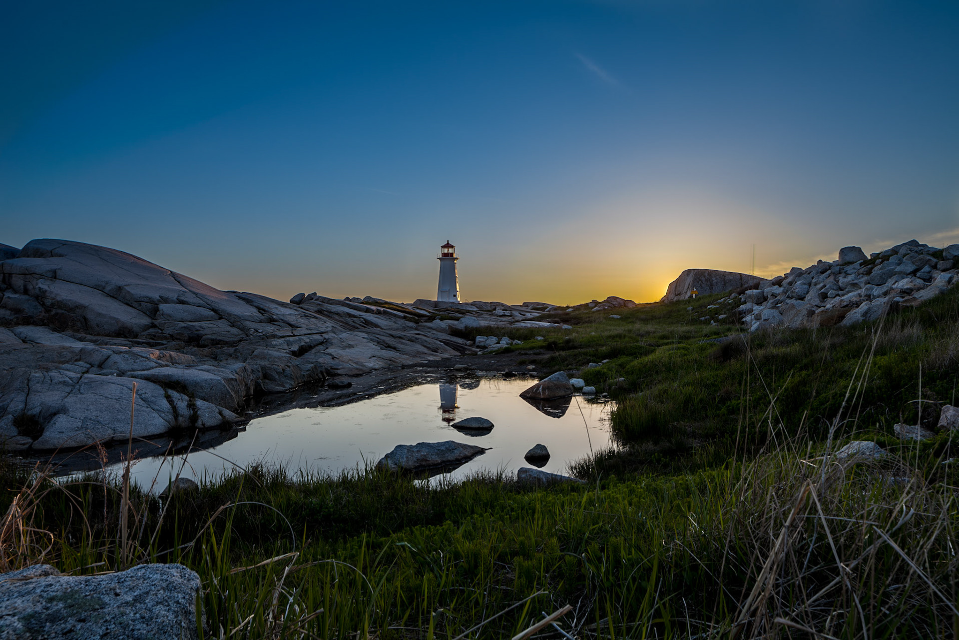
And of course the sunsets and the lighthouse.


Tailings


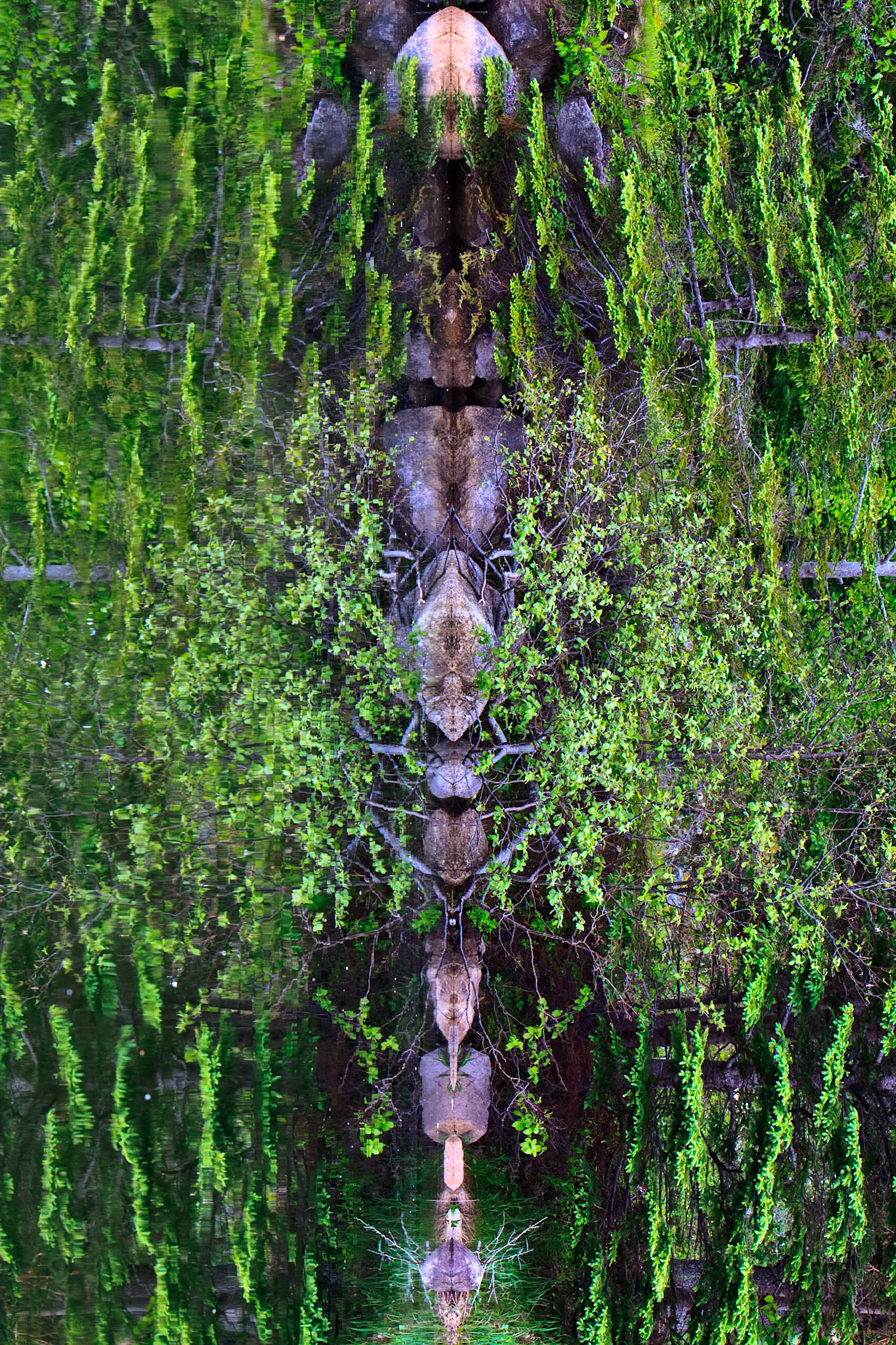
This has been a big gallery, not sure what I've missed or duplicated so I'm going to add this section of my favourites.


I must get the drone up there more often.
Hope you enjoyed!